
Alla auktioner / Mattor & Textilier / A 16th century map

A 16th century map
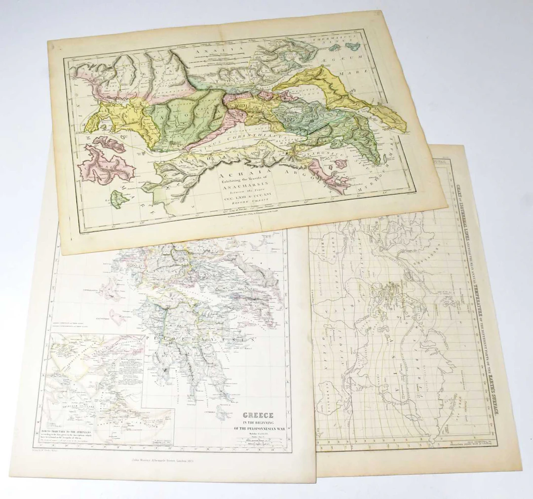
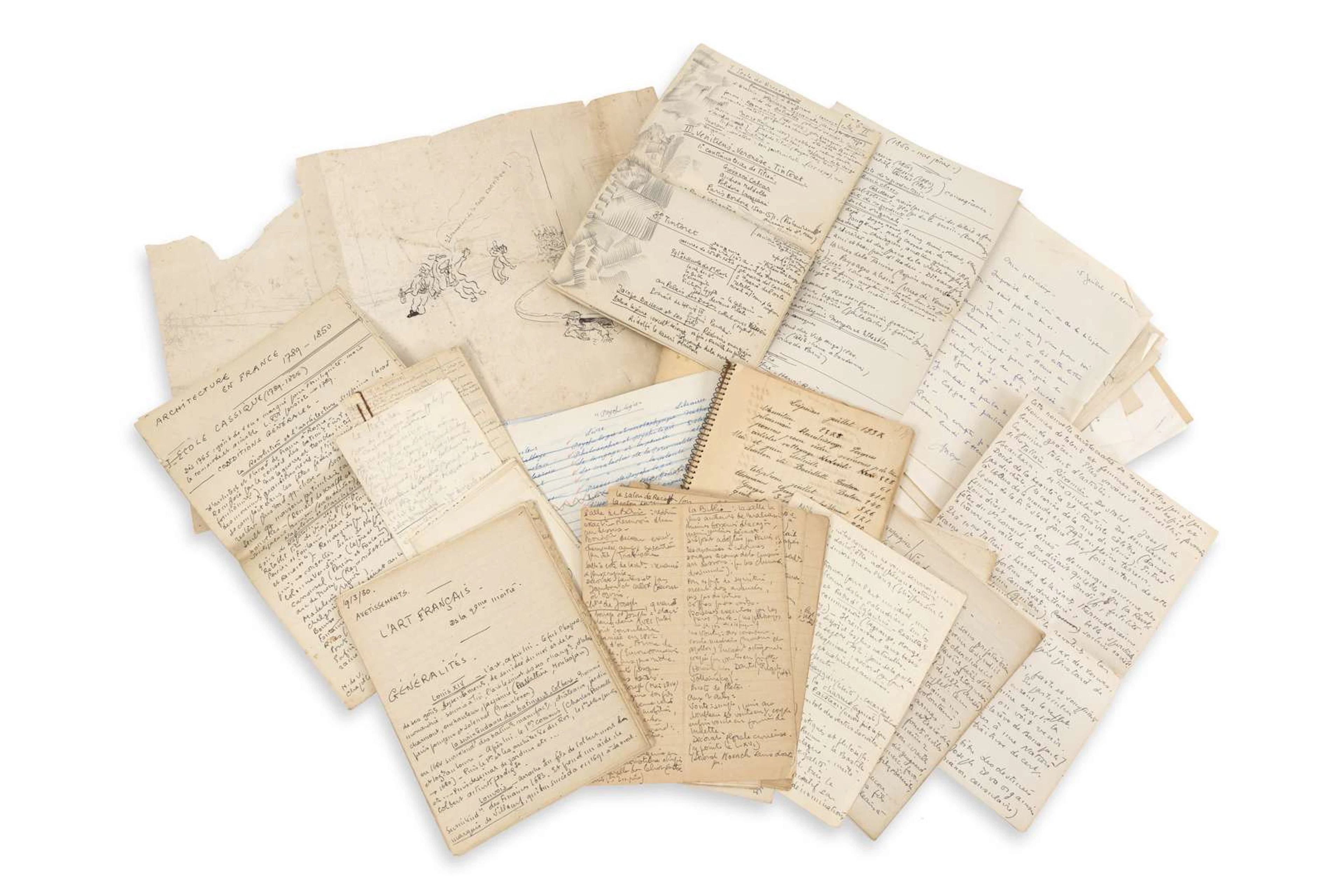
A 16th century map, published by GG & J Robinson, London, Carte Plate de L'ile Necker (Hawaii), 1798, a French map 'L'Alemagne Divisee En Tous Ses Cercles' 1766, and five 19th century hand-coloured maps, comprising 'Peru', published Cadell & Davies, London, engraved Neele, New Zealand islands Carte Du Groupe Des Iles Manga-Reva, 1858, Achaia Exhibiting the Travels of Anacharsis, published R Wilkinson 1805, engraved E Bourne, 'Greece in the Beginning of the Peloponnesian War', published John Murray, London, and 'Chart of the Isothermal Lines shewing the mean annual Temperatuer of the different parts of the Earth's Surface', engraved Geo Aikman, Edin. Condition Report, Condition Report, No condition report has been requested on this lot. The absence of a condition report does not rule out wear or damage. Bidders are responsible for satisfying themselves as to the condition of the lot by personal inspection or formal request prior to the sale, Request condition report, Request condition report
Utropspris:SEK 530.34
Till auktionenVisa alla föremål frånAdam PartridgeellerMattor & Textilier
Utropspris:
SEK 530.34
Liknande föremål


Slutpriser för liknande föremål
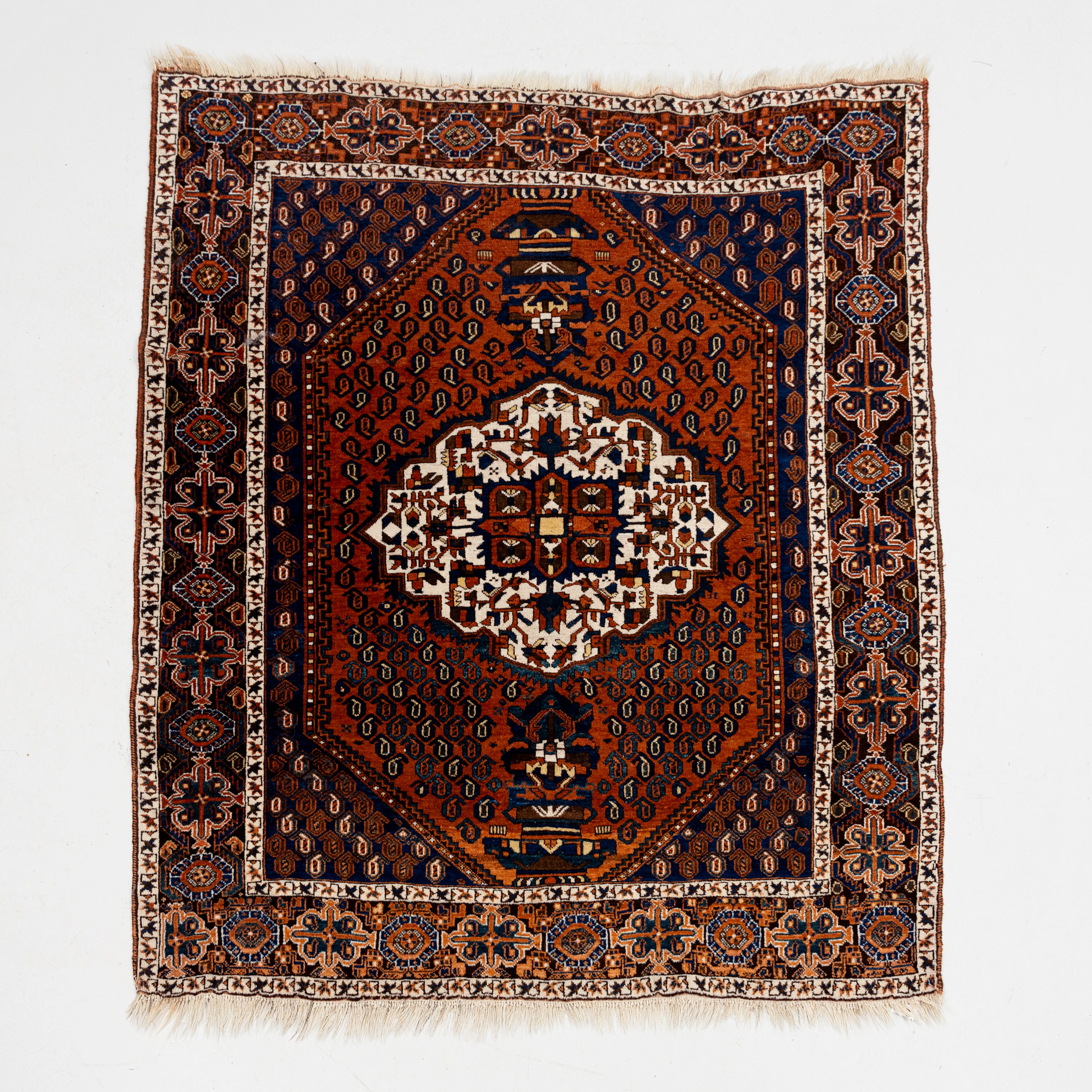
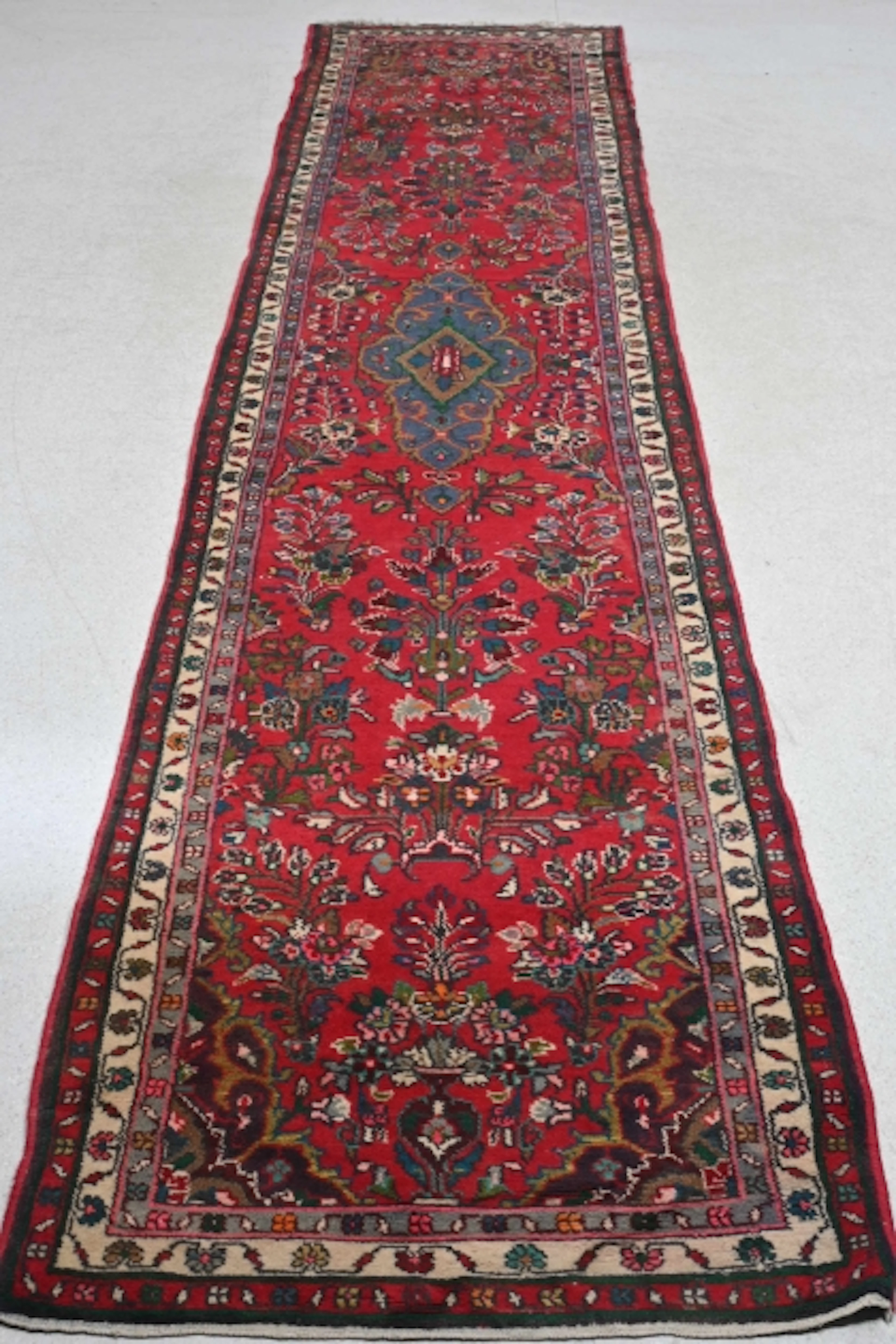
MATTA, semiantik, Bakhtiari, ca 158x141 cm.
10/11/2026
SEK 1,005
Uppsk.: SEK 4,000

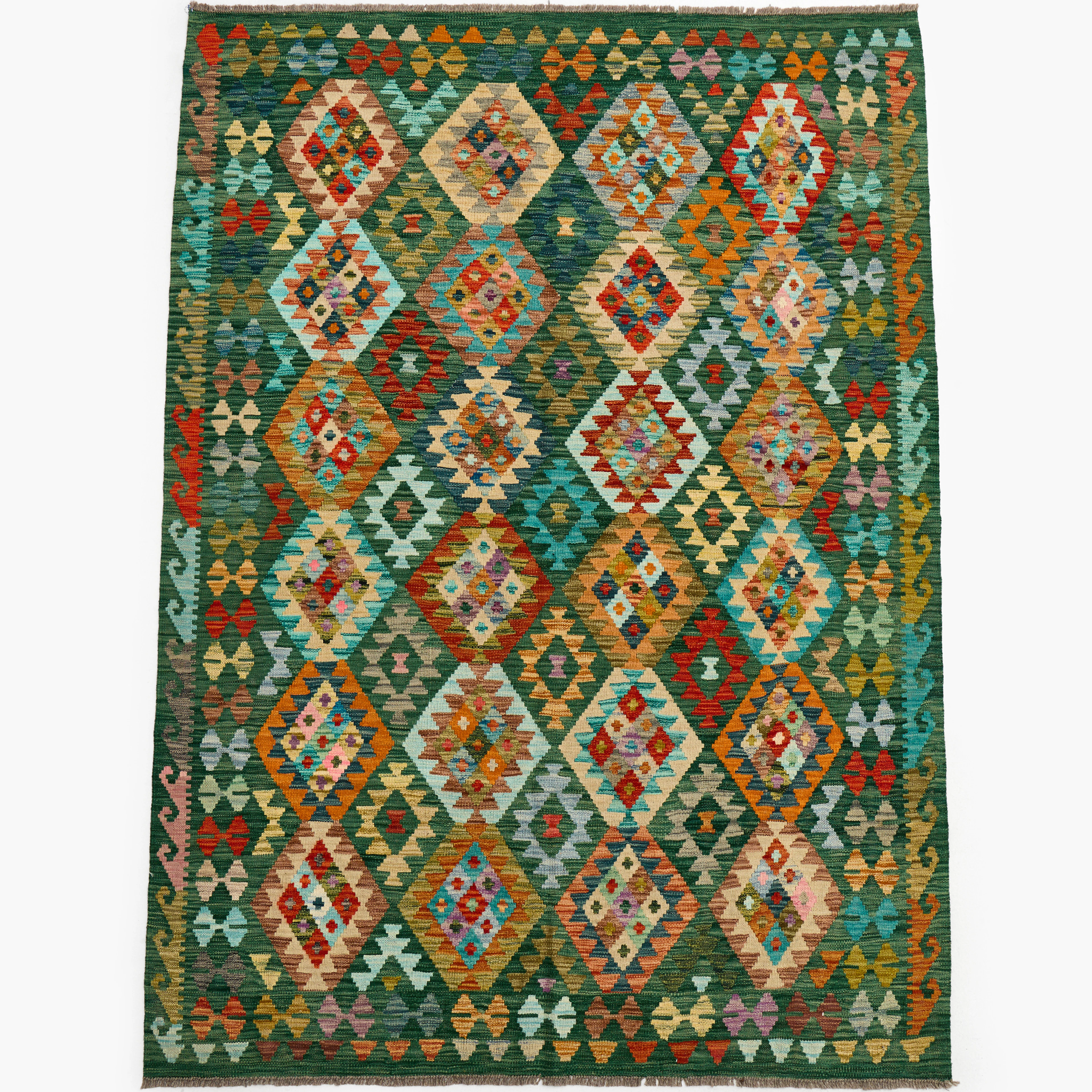
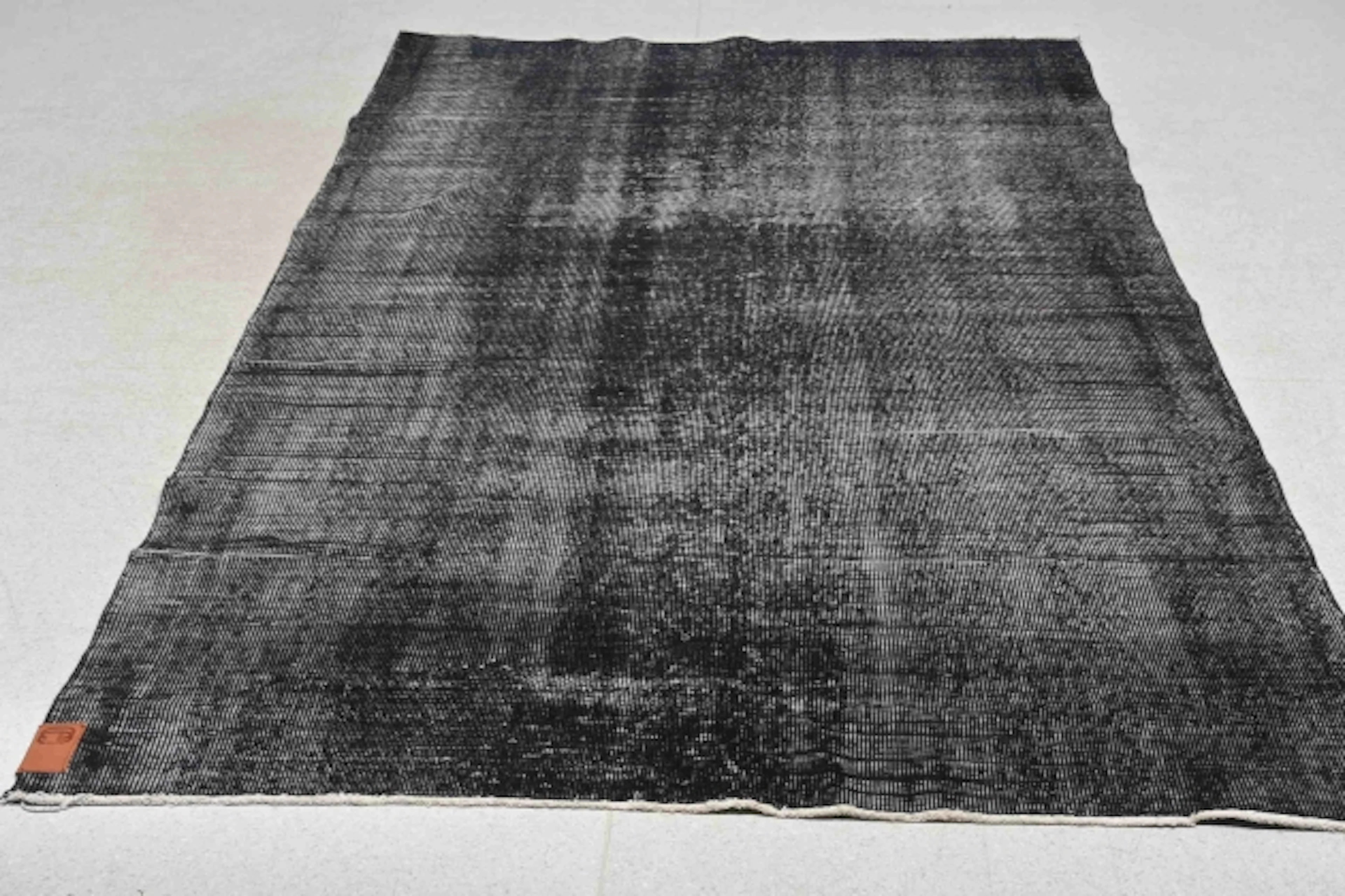
MATTA, kelim, ca 244 x 176 cm. Modern.
10/11/2026
SEK 2,800
Uppsk.: SEK 4,500
Nå samlare över hela världen med din auktion!
Lista er auktion