
Alla auktioner / Böcker, Kartor och Texter / Africa - Early African detailed charts

Africa - Early African detailed charts
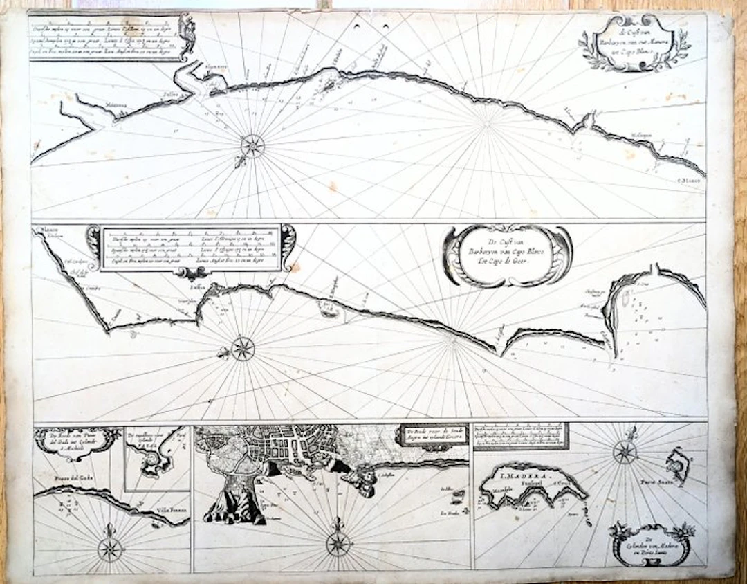
The Coast of the Barbary from Mehdya to Cape Blanco Goos Pieter Jacques et Gasper Anthoine, Amsterdam, 1669 Rare marine chart. Uncoloured copperplate engraving. Dimensions: 43.8 x 54 cm. This rare nautical chart by Pieter Goos presents six maps of north-western Africa on a single sheet. The upper map covers the area formerly known as the Barbary Coast in Morocco, extending from Mehdya, near Casablanca, in the north to Ras Nouadhibou (also known as Cap Blanc or Cabo Blanco) in the south. The central map extends from Ras Nouadhou along the coast of Western Sahara. The lower section contains four inset maps with detailed charts of the islands of São Miguel, Faial and Terceira in the Azores, as well as Madeira and Porto Santo in the Madeira archipelago. In addition to ports, the chart indicates soundings, sandbanks, fishing grounds and navigational hazards. Each map features rhumb lines, a title cartouche and an ornate compass rose. This chart, taken from Goos's « De Zee-Atlas Ofte Water-Weereld », has remained in its original uncoloured state, highlighting the delicacy of the engraving. It is in good condition, with light foxing, soiling and slight offsetting. Small losses are visible in the lower margin, without affecting the image. Pieter Goos (1616–1675) was a Dutch cartographer, engraver, publisher, printer and print dealer based in Amsterdam. He came from a renowned family of cartographers, of which his father Abraham was the leading figure. He produced the plates for numerous maps published in the important atlases of his time. His navigation guide, the « Zee-Spiegel », provided some of the earliest charts of the newly explored regions of the West Indies and West Africa, while his « Zee-Atlas » is considered one of the finest maritime atlases of its time.
Utropspris:SEK 2,240.7
Till auktionenVisa alla föremål frånCatawikiellerBöcker, Kartor och Texter
Utropspris:
SEK 2,240.7
Liknande föremål





Auktionsresultat för liknande föremål
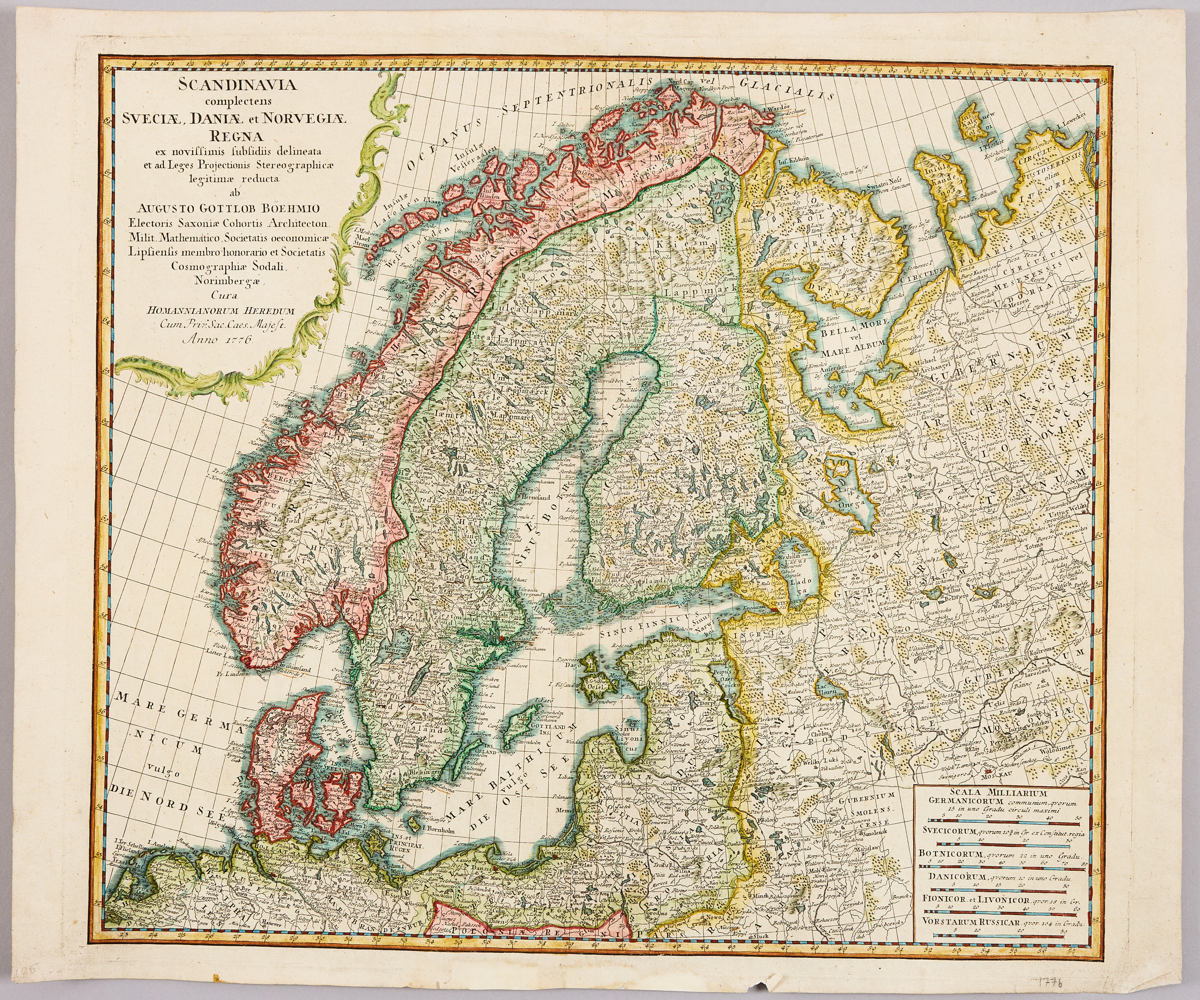
HOMANNS ARVINGAR, KARTA ÖVER SKANDINAVIEN, ca 1770.
10/09/2026
SEK 1,101
Uppsk.: SEK 1,200
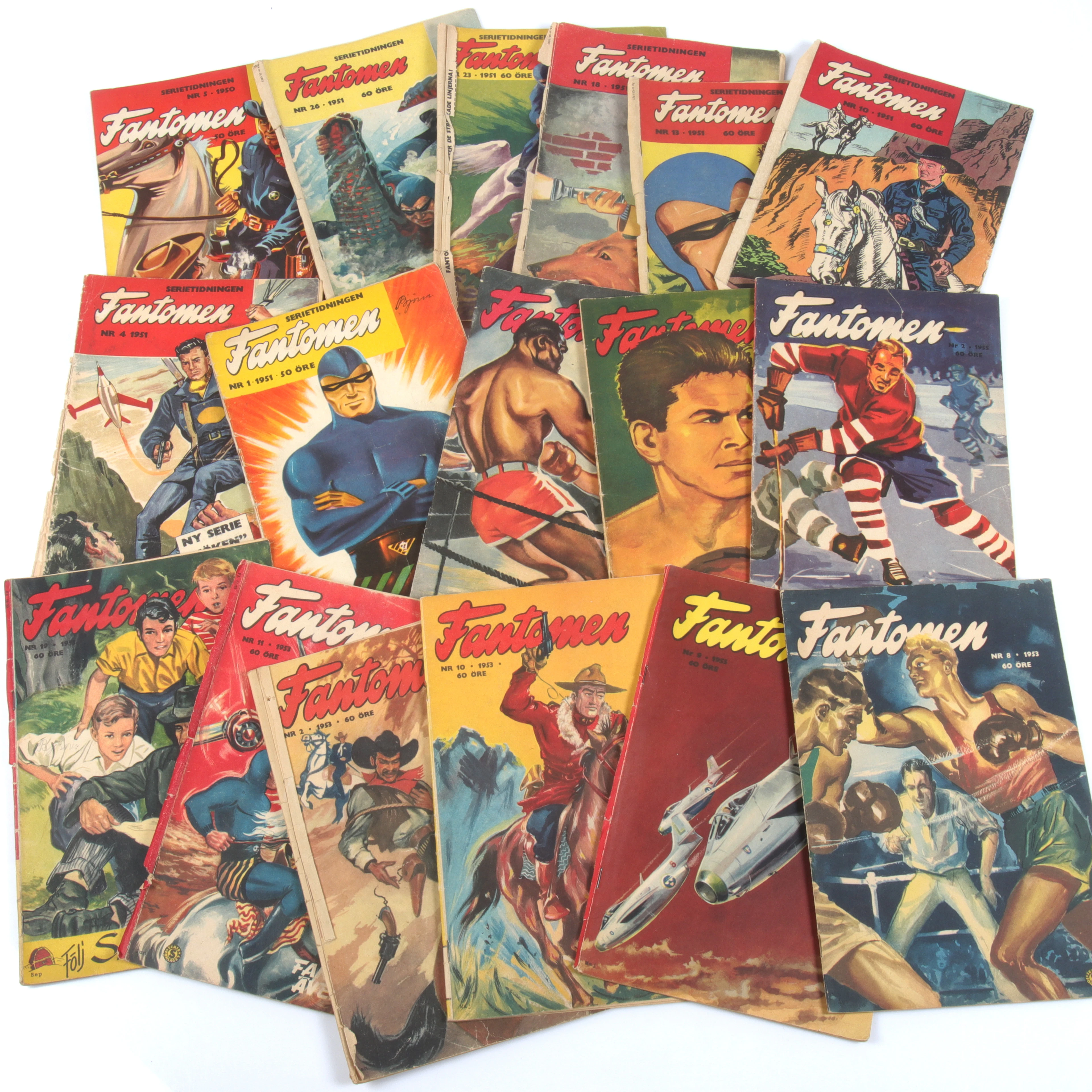
SERIETIDNINGAR, 57 st Fantomen, år 1950-56.
10/09/2026
SEK 1,400
Uppsk.: SEK 800
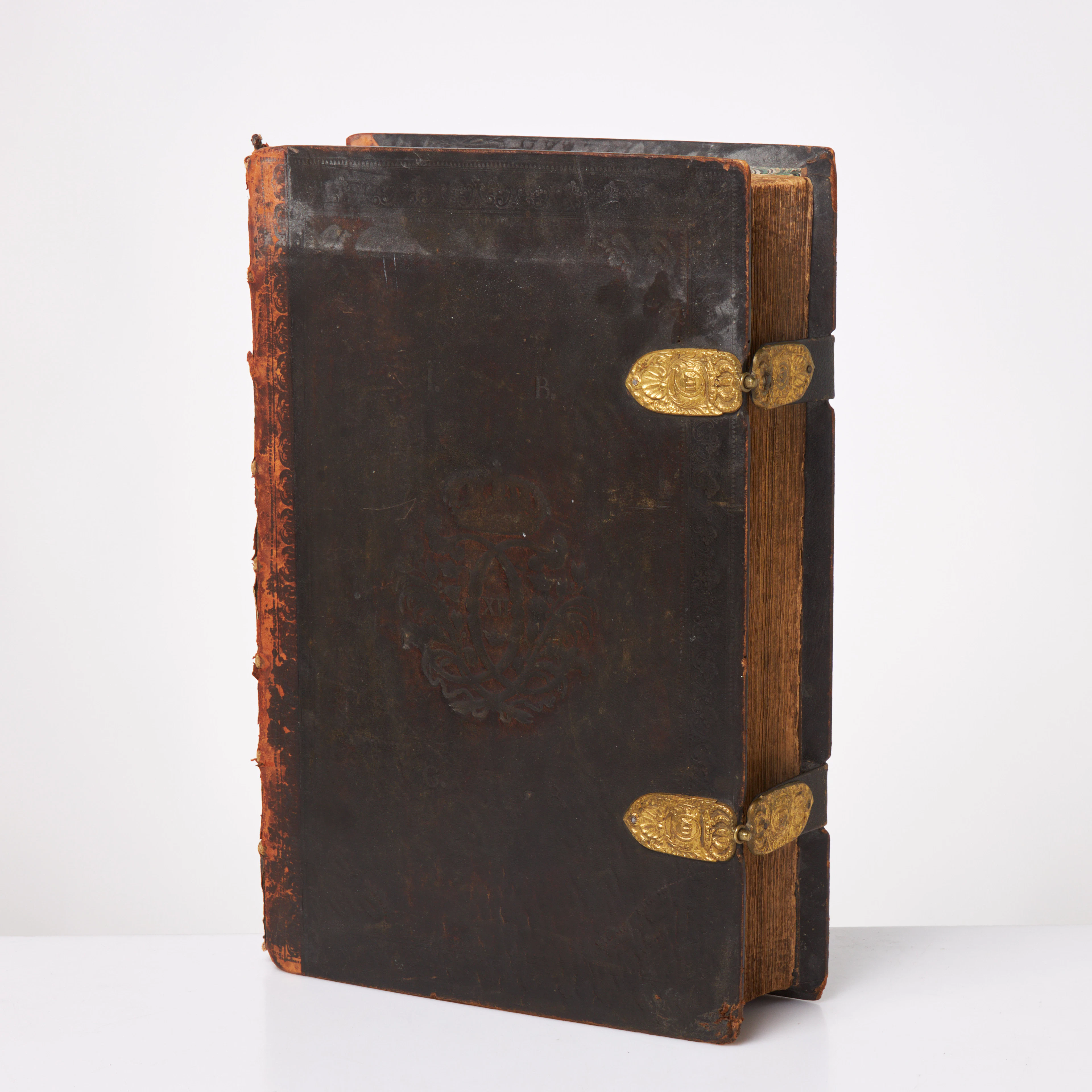
KARL XII:S BIBEL. 1703, samtida band.
10/09/2026
SEK 6,500
Uppsk.: SEK 6,000
Nå samlare över hela världen med din auktion!
Lista er auktion