







Alla auktioner / Böcker, Kartor och Texter / Antique County Map, Cheshire, English, Framed Cartography, Robert
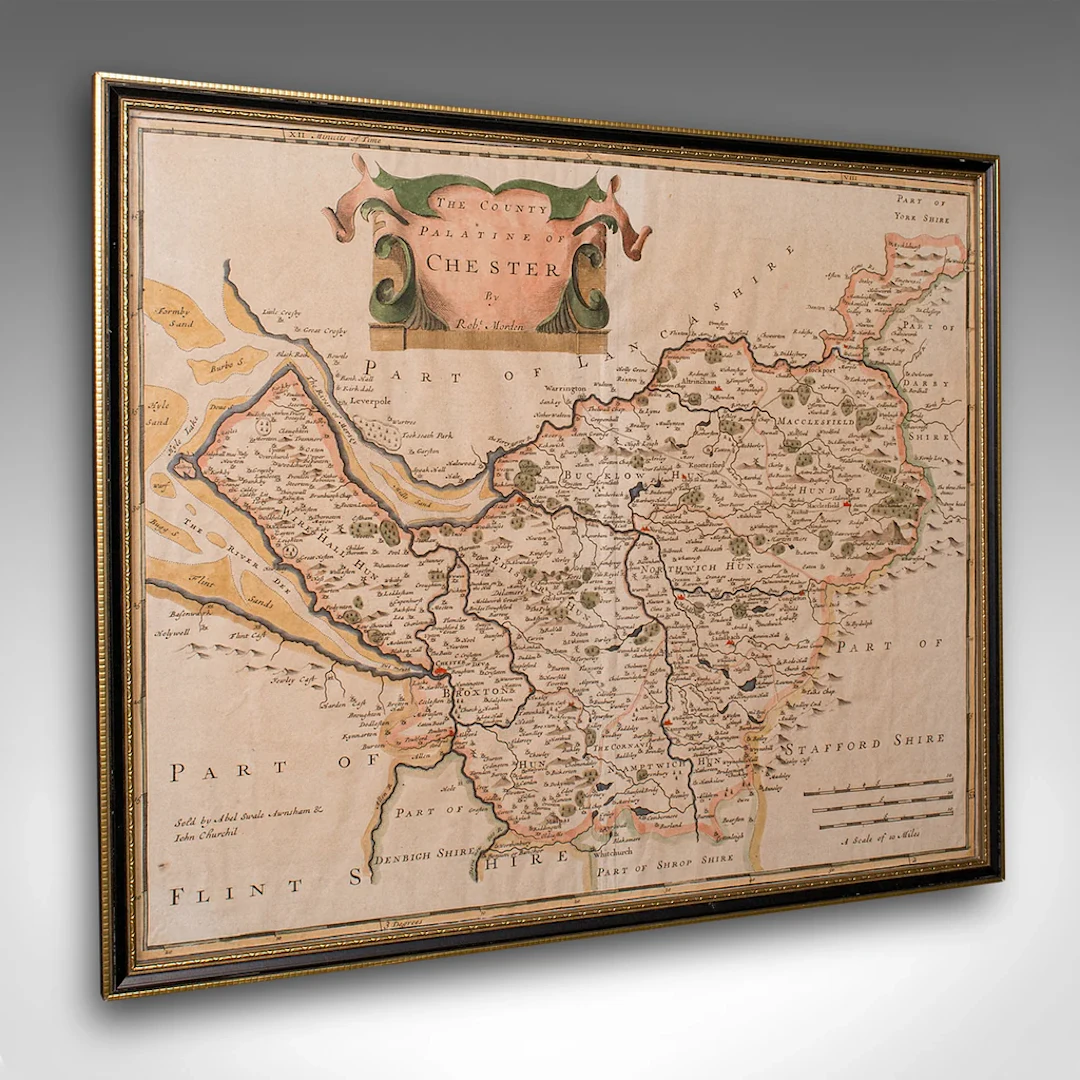
This is an antique county map of Cheshire, an English framed cartographic engraving by Robert Morden, dating to the early Georgian period, circa 1720. A charming and historically rich representation of the county, this Victorian period hand-coloured engraving captures the elegance of early 18th century mapmaking. This antique county map is a delightful and informative decorative piece, steeped in early Georgian geography. An ideal addition to the traditional study, country house interior, or heritage gallery wall. Delivered ready to display. Max Width: 44cm (17.25'')Max Depth: 1cm (.5'')Max Height: 37.5cm (14.75'') Map Width: 41cm (16.25'')Map Height: 34.5cm (13.5'')
Utropspris:SEK 7,598.17
Till auktionenVisa alla föremål frånLondon Fine AntiquesellerBöcker, Kartor och Texter
Utropspris:
SEK 7,598.17
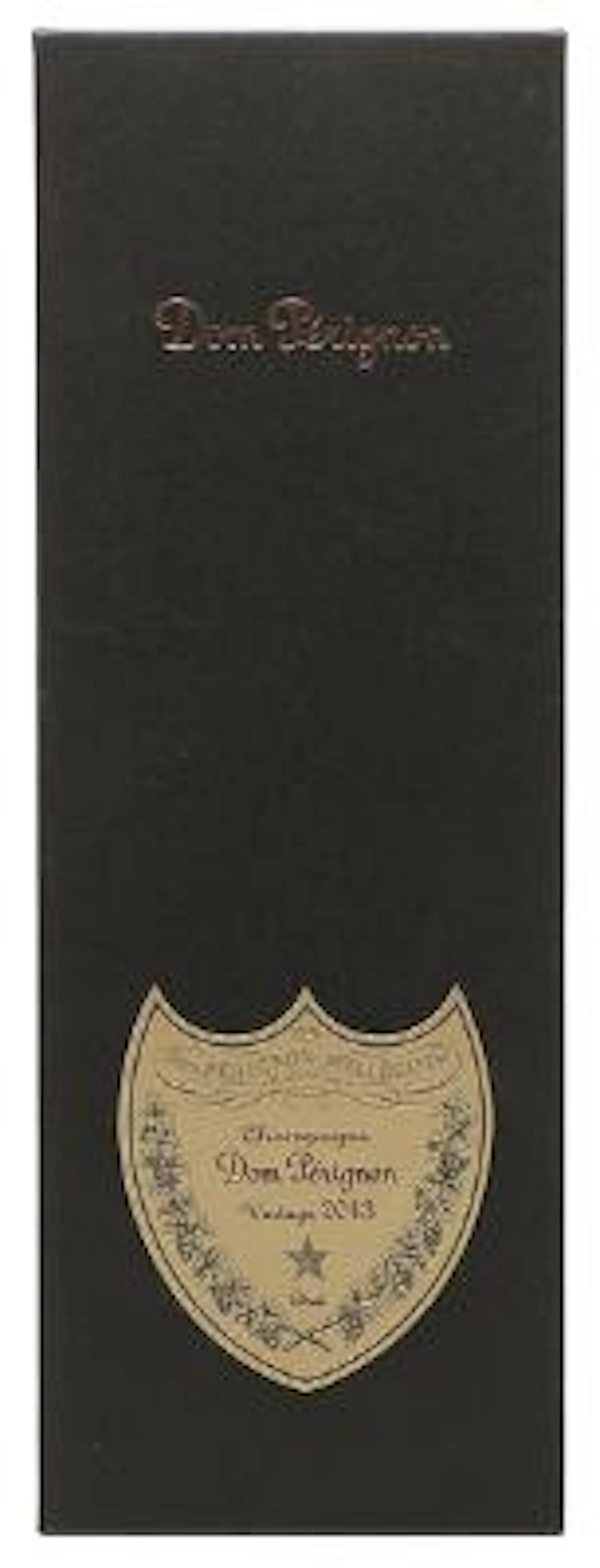
1 bt. Champagne Dom Pérignon, Moët et Chandon 2013 A (hf/in). Oc.
10/15/2026

SEK 1,789.96
Uppsk.: SEK 2,116.05
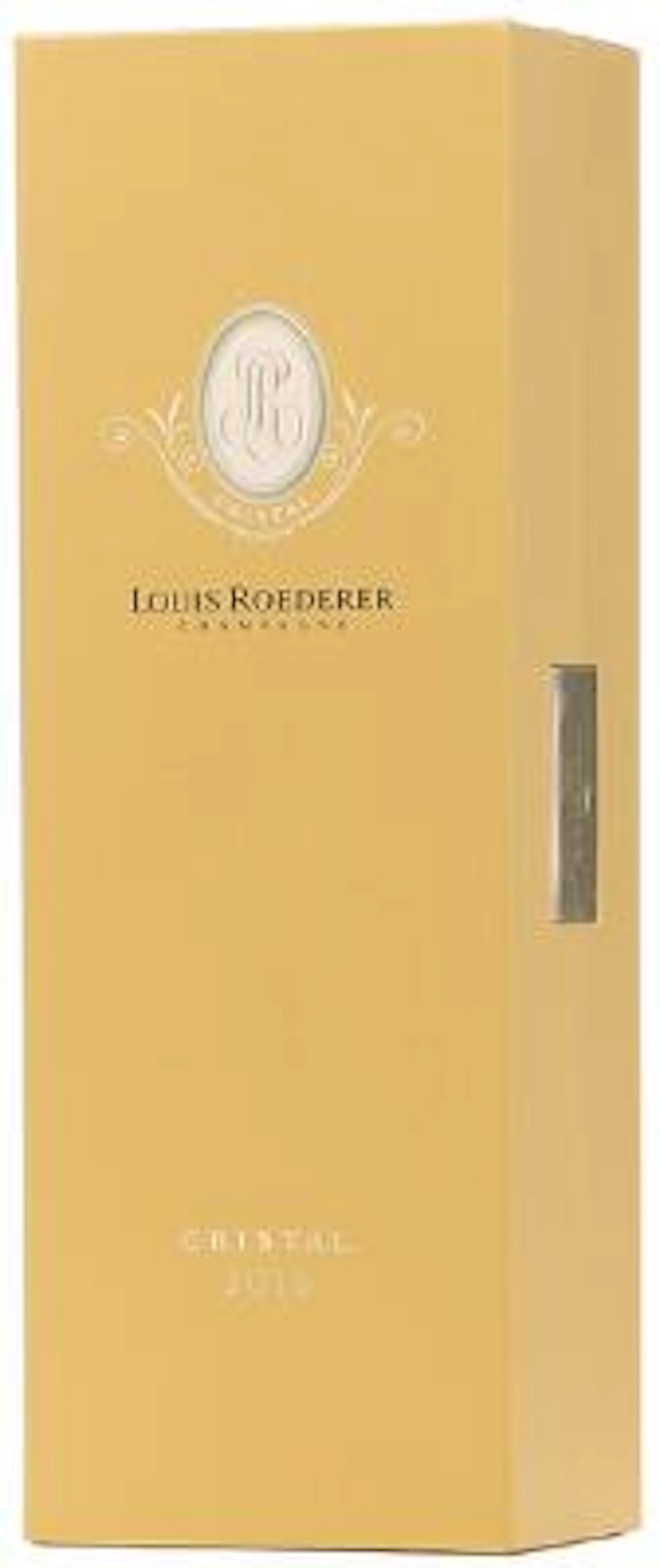
1 bt. Champagne "Cristal", Louis Roederer 2016 A (hf/in). Oc. – Bruun
10/15/2026
SEK 2,088.29
Uppsk.: SEK 2,116.05
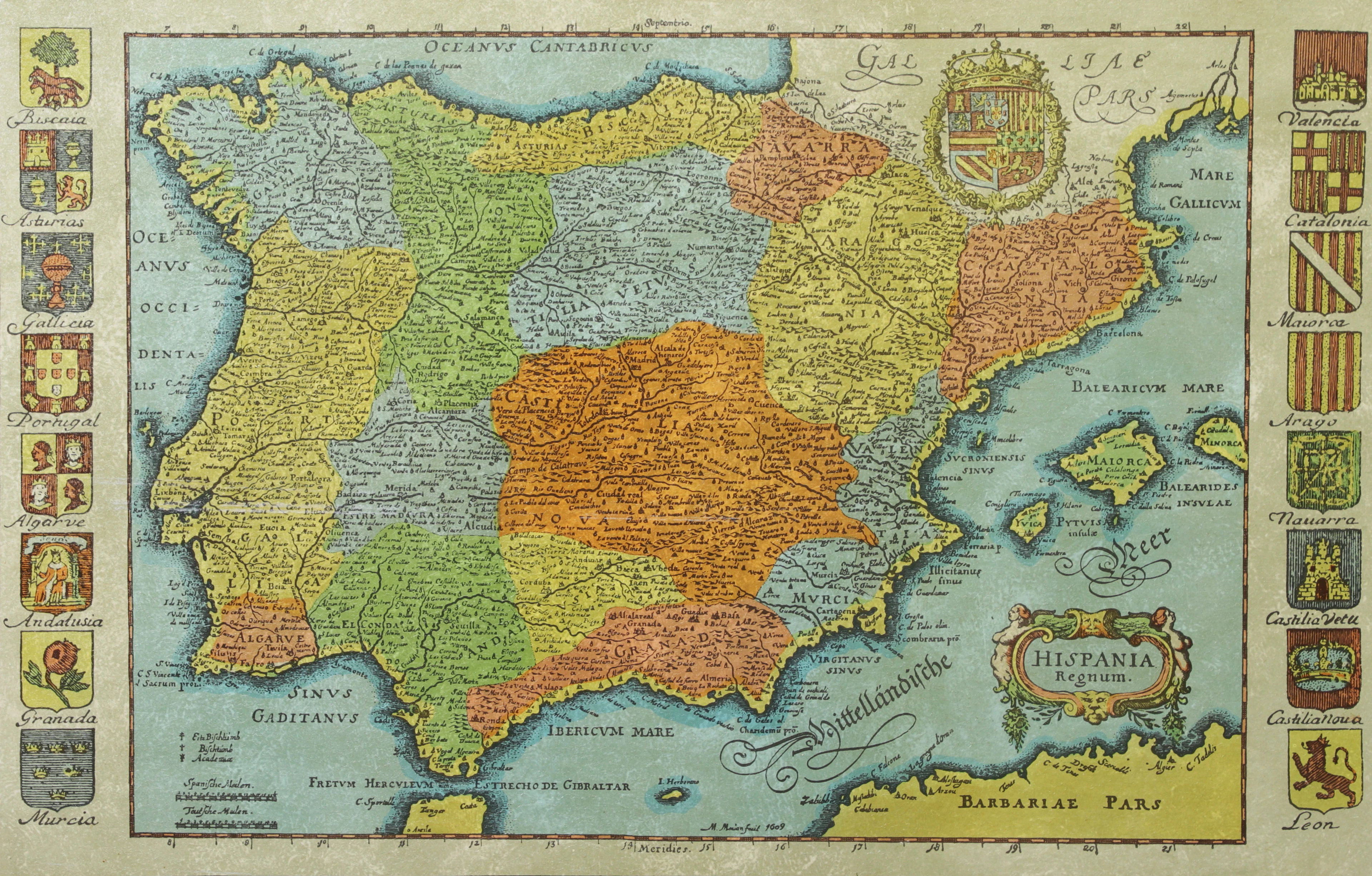
KARTA, Spanien, inramad, 1900-talets andra hälft.
10/14/2026
SEK 300
Uppsk.: SEK 500
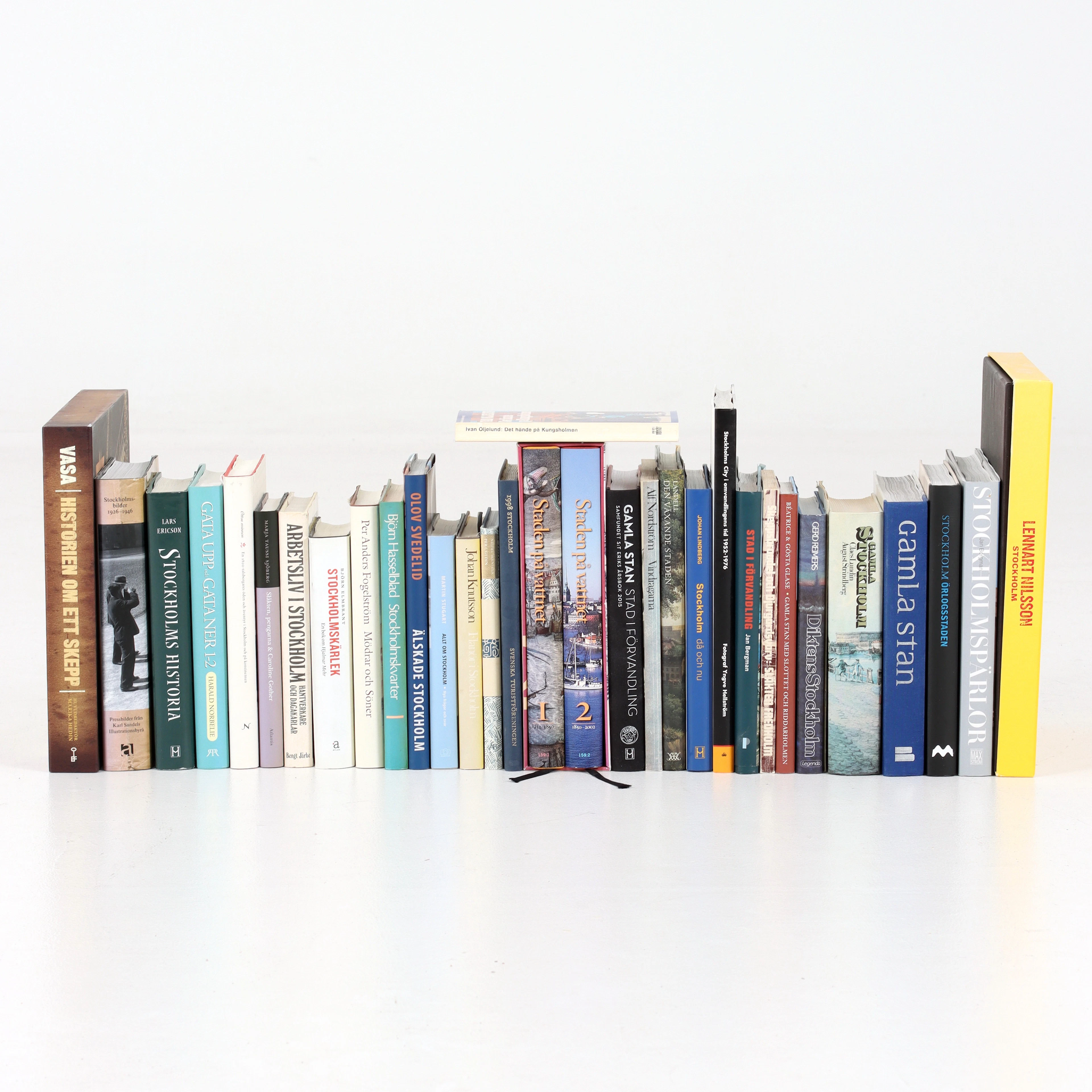
BÖCKER om STOCKHOLM, 31 st, 1900-talets senare del.
10/14/2026
SEK 525
Uppsk.: SEK 600
Nå samlare över hela världen med din auktion!
Lista er auktionGenom att prenumerera godkänner du integritetspolicyn. Avprenumerera när som helst.
Barnebys HQ
Brahegatan 10
BOX 5038
114 37 Stockholm
