



Alla auktioner / Konst & Grafik / Antique County Map, Hertfordshire, Dutch, Framed Cartography, Blaeu, Carolean
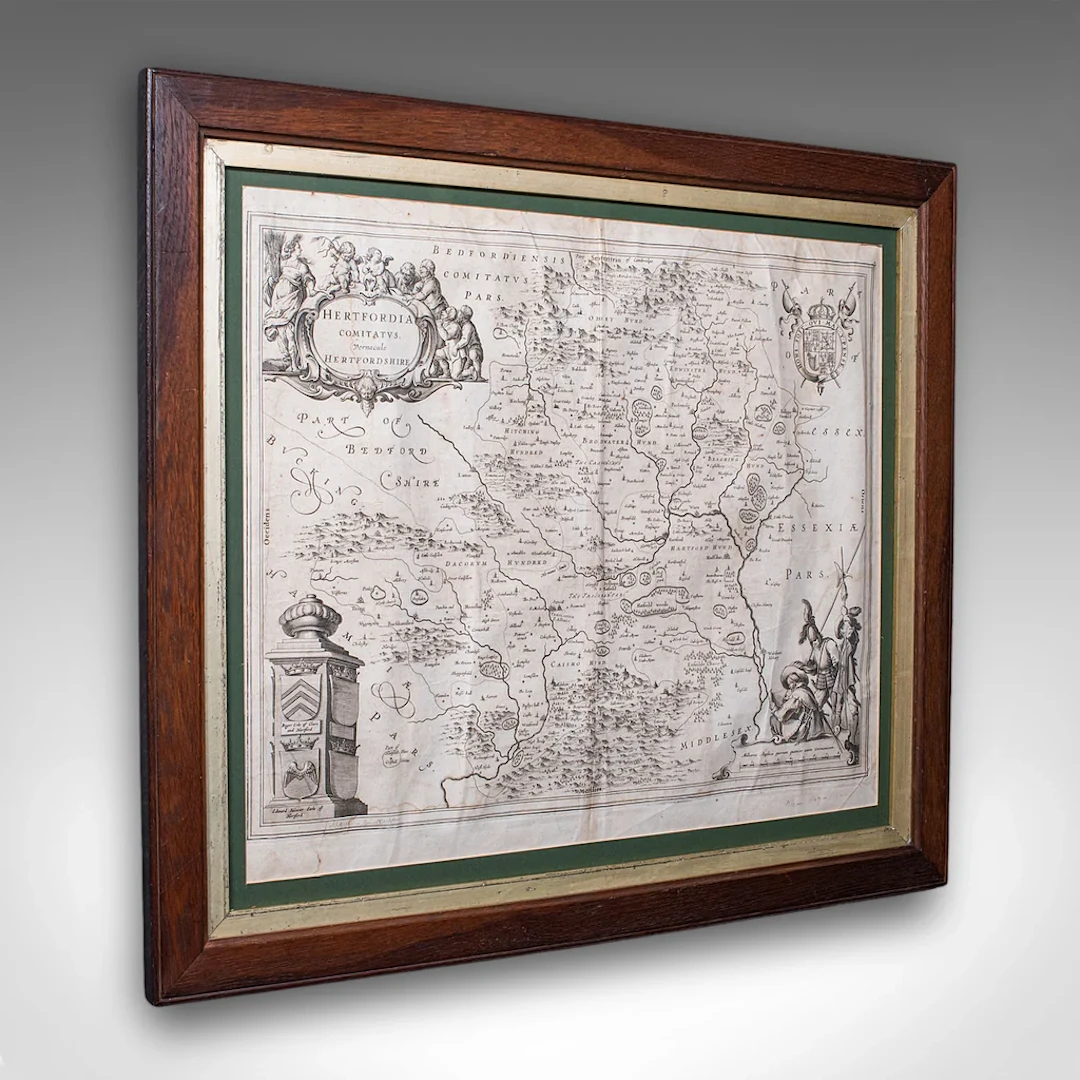
This is an antique county map of Hertfordshire. A Dutch, framed atlas engraving of cartographic interest by Joan Blaeu (1596 - 1673), dating to the mid 17th century and later, circa 1649. This is a fascinating antique county map of Hertfordshire, with fine cartographic interest and period annotations in Latin. A treat for county residents or cartographic collectors. Delivered ready to display. Max Width: 63.5cm (25'')Max Depth: 2cm (.75'')Max Height: 54.5cm (21.5'') Map Width: 50cm (19.75'')Map Height: 42cm (16.5'')
Utropspris:SEK 11,826.72
Till auktionenVisa alla föremål frånLondon Fine AntiquesellerKonst & Grafik
Utropspris:
SEK 11,826.72
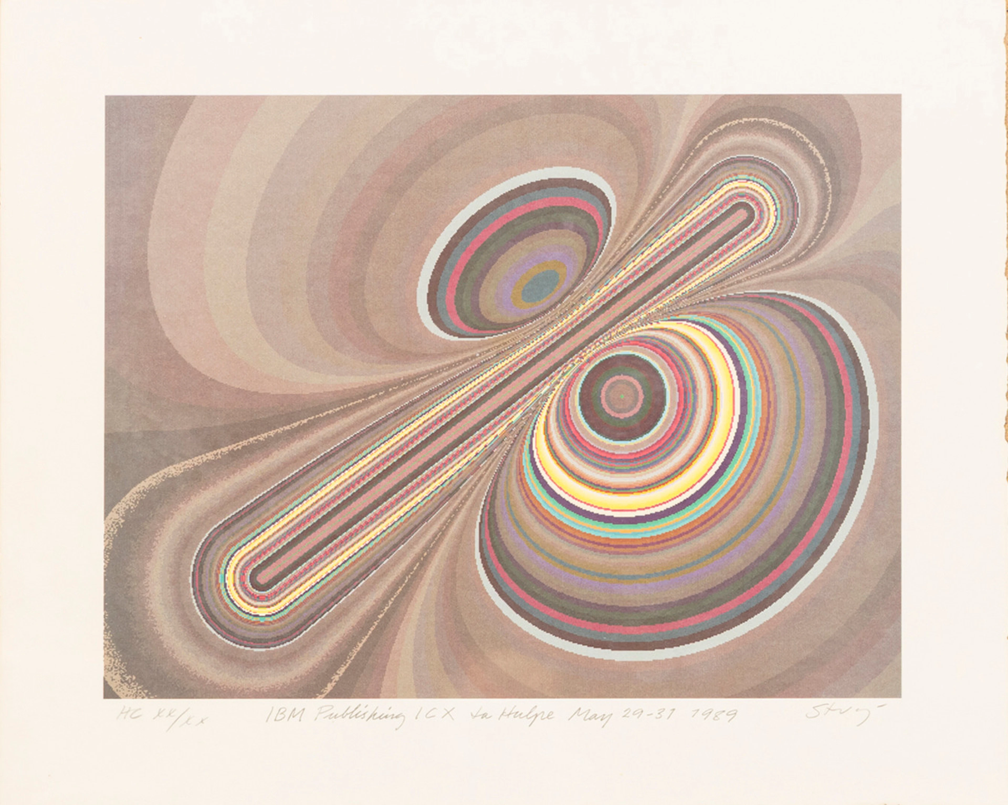
STURE JOHANNESSON. "La hulpe May", färglitografi, signerad, numrerad
10/15/2026
SEK 400
Uppsk.: SEK 1,000
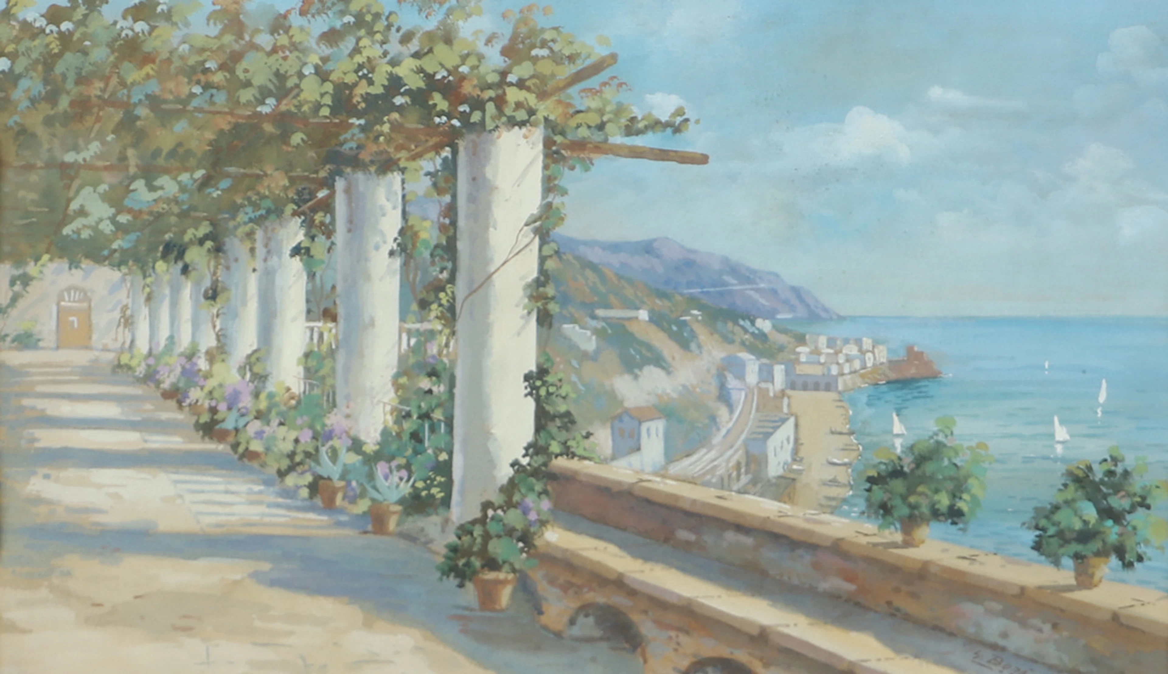
OIDENTIFIERAD KONSTNÄR. Sydländskt kustparti, akvarell, signerad Bora.
10/15/2026

SEK 300
Uppsk.: SEK 400
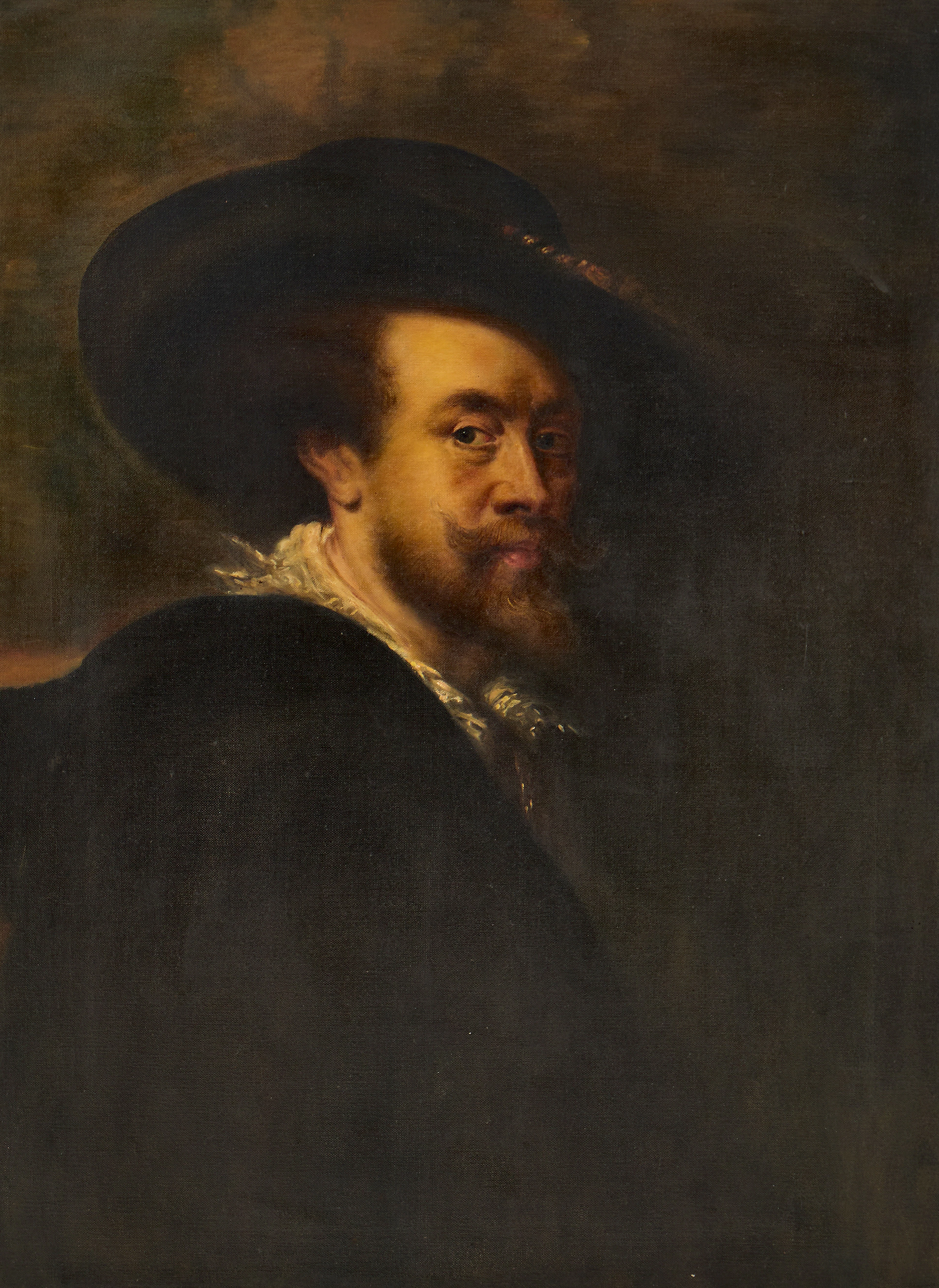
PETER PAUL RUBENS (Flandern, 1577-1640): Kopia efter, Självporträtt
10/15/2026
SEK 3,000
Uppsk.: SEK 4,000
Nå samlare över hela världen med din auktion!
Lista er auktionGenom att prenumerera godkänner du integritetspolicyn. Avprenumerera när som helst.
Barnebys HQ
Brahegatan 10
BOX 5038
114 37 Stockholm
