
Alla auktioner / Böcker, Kartor och Texter / Antique Map of Wales, Belgian, Framed Atlas Excerpt, Elizabethan
Antique Map of Wales, Belgian, Framed Atlas Excerpt, Elizabethan
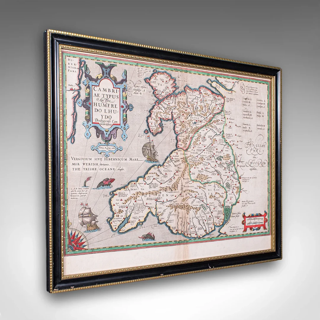
This is an antique map of Wales. A Belgian, framed atlas excerpt with dual sided mount, this example from the Theatrum Orbis Terrarum published in 1592 during the late Elizabethan period. Full title: , translating into English as 'A Map of Wales, by the author Humphrey Llwyd of Denbigh, a Welsh Briton' This antique map of Wales is a truly excellent, exciting publication within the history of European cartography, offering an example of the very first published map of Wales as its own region, presented here as a culturally rich, high quality piece within a celebrated atlas. A treat for collectors and Welsh natives alike. Delivered ready to display. Max Width: 55cm (21.75'')Max Depth: 2cm (.75'')Max Height: 43.5cm (17.25'') Map Width: 49.5cm (19.5'')Map Height: 38.5cm (15.25'')
Utropspris:SEK 10,505.3
Till auktionenVisa alla föremål frånLondon Fine AntiquesellerBöcker, Kartor och Texter
Utropspris:
SEK 10,505.3
Liknande föremål





Slutpriser för liknande föremål
1 bt. Champagne Dom Pérignon, Moët et Chandon 2013 A (hf/in). Oc.
10/15/2026

SEK 1,789.96
Uppsk.: SEK 2,116.05
1 bt. Champagne "Cristal", Louis Roederer 2016 A (hf/in). Oc. – Bruun
10/15/2026
SEK 2,088.29
Uppsk.: SEK 2,116.05
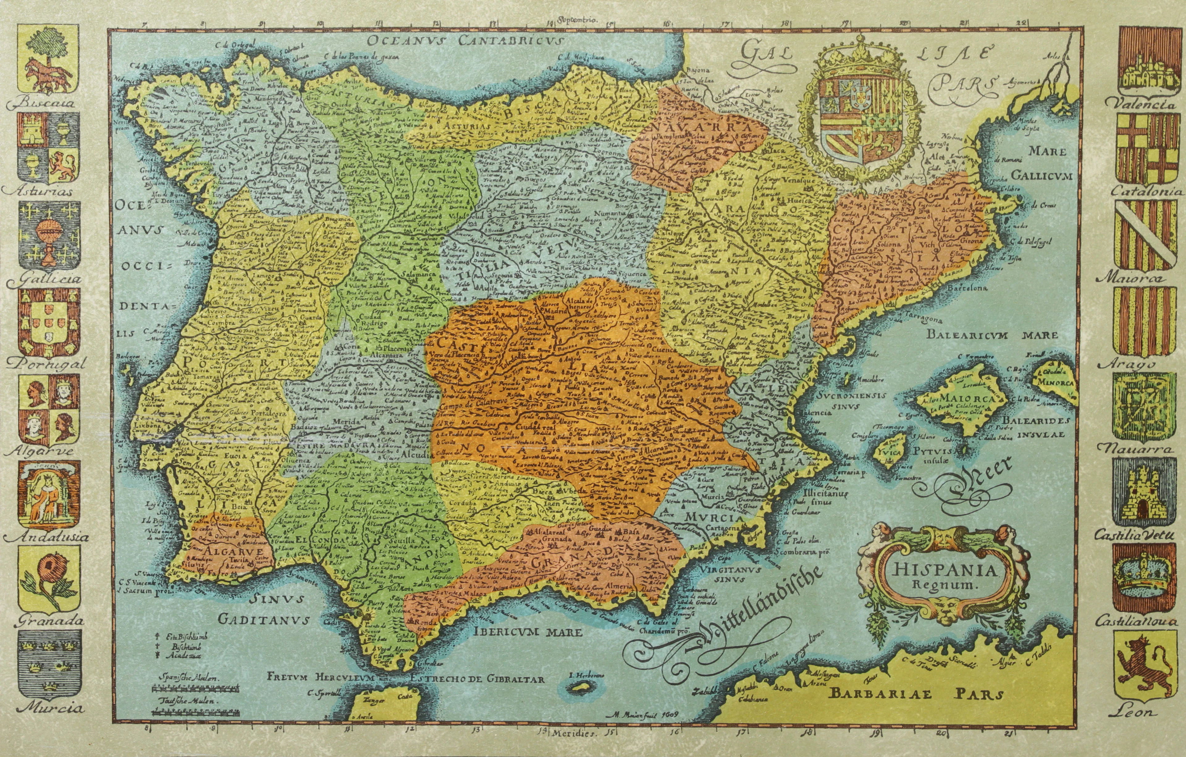
KARTA, Spanien, inramad, 1900-talets andra hälft.
10/14/2026
SEK 300
Uppsk.: SEK 500
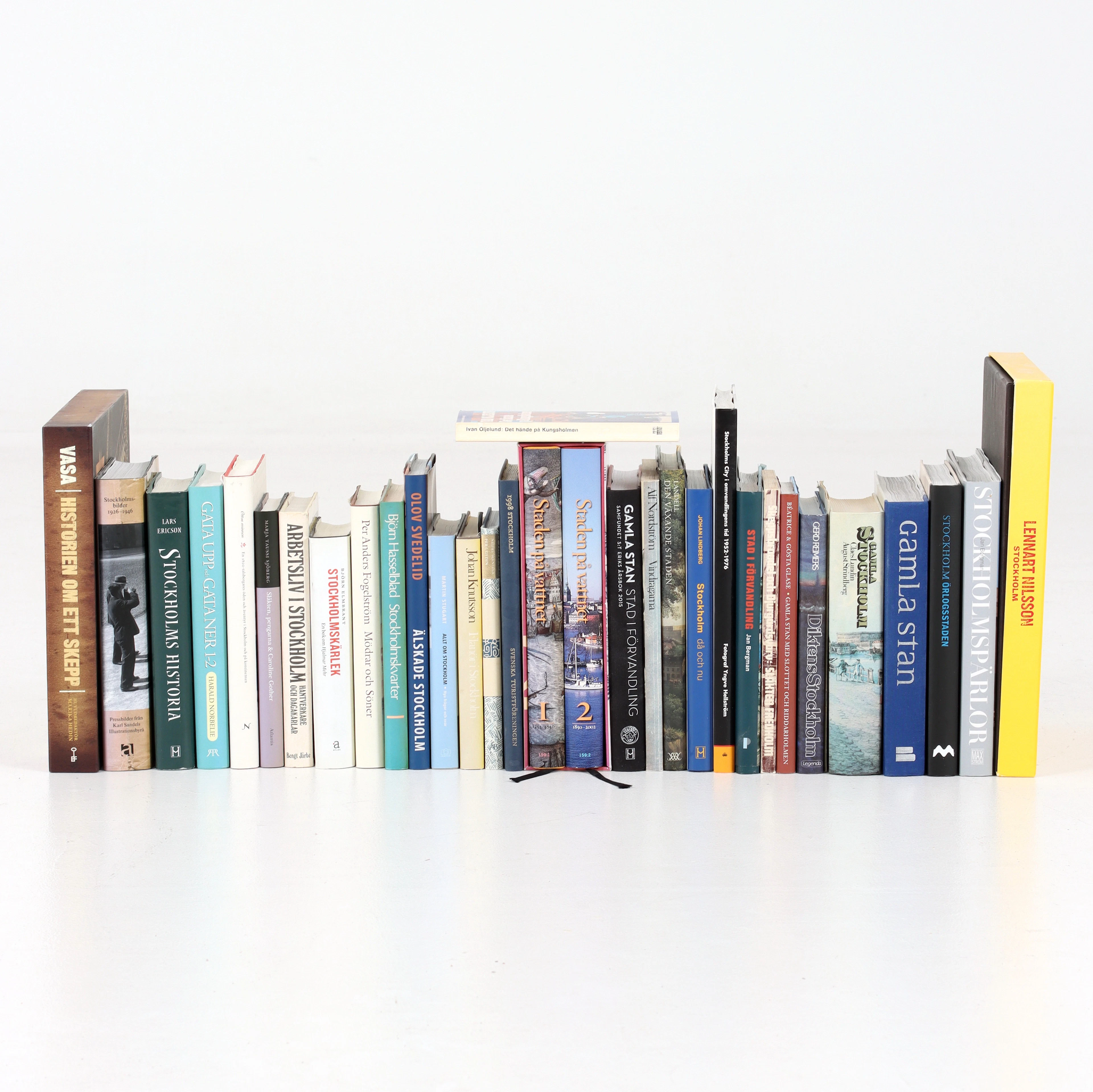
BÖCKER om STOCKHOLM, 31 st, 1900-talets senare del.
10/14/2026
SEK 525
Uppsk.: SEK 600
Nå samlare över hela världen med din auktion!
Lista er auktion