
Alla auktioner / Böcker, Kartor och Texter / Antique Region Map, South Wales, English, John Cary, Framed, Atlas, Georgian
Antique Region Map, South Wales, English, John Cary, Framed, Atlas, Georgian
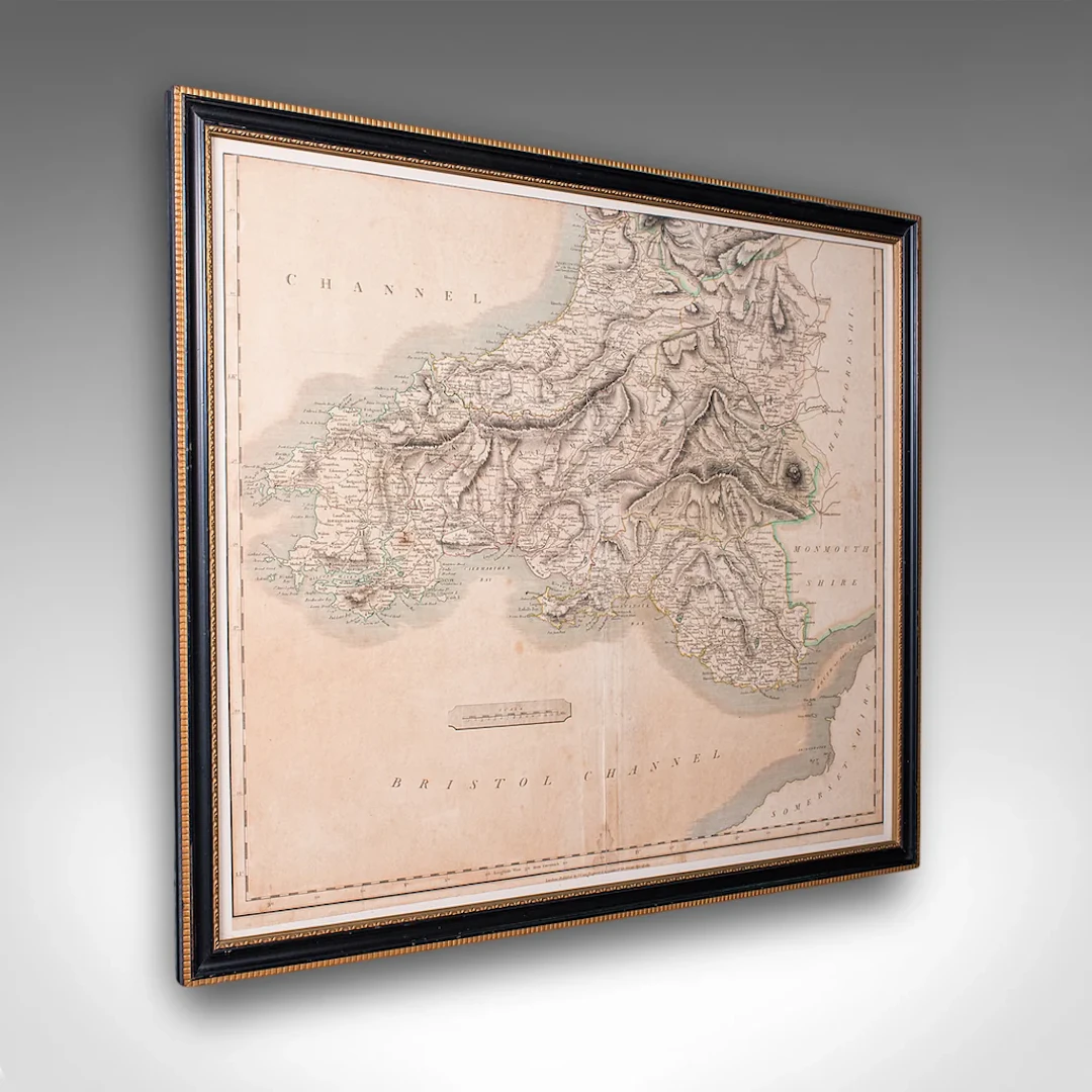
This is an antique region map of South Wales. An English, framed atlas engraving of cartographic interest by John Cary, dating to the Georgian period, circa 1810. This is a quality antique region map of South Wales, with fine cartographic interest. Delivered ready to display. Max Width: 63cm (24.75'')Max Depth: 2cm (.75'')Max Height: 54.5cm (21.5'') Map Width: 56cm (22'')Map Height: 48cm (19'')
Utropspris:SEK 5,616.04
Till auktionenVisa alla föremål frånLondon Fine AntiquesellerBöcker, Kartor och Texter
Utropspris:
SEK 5,616.04
Liknande föremål



Slutpriser för liknande föremål
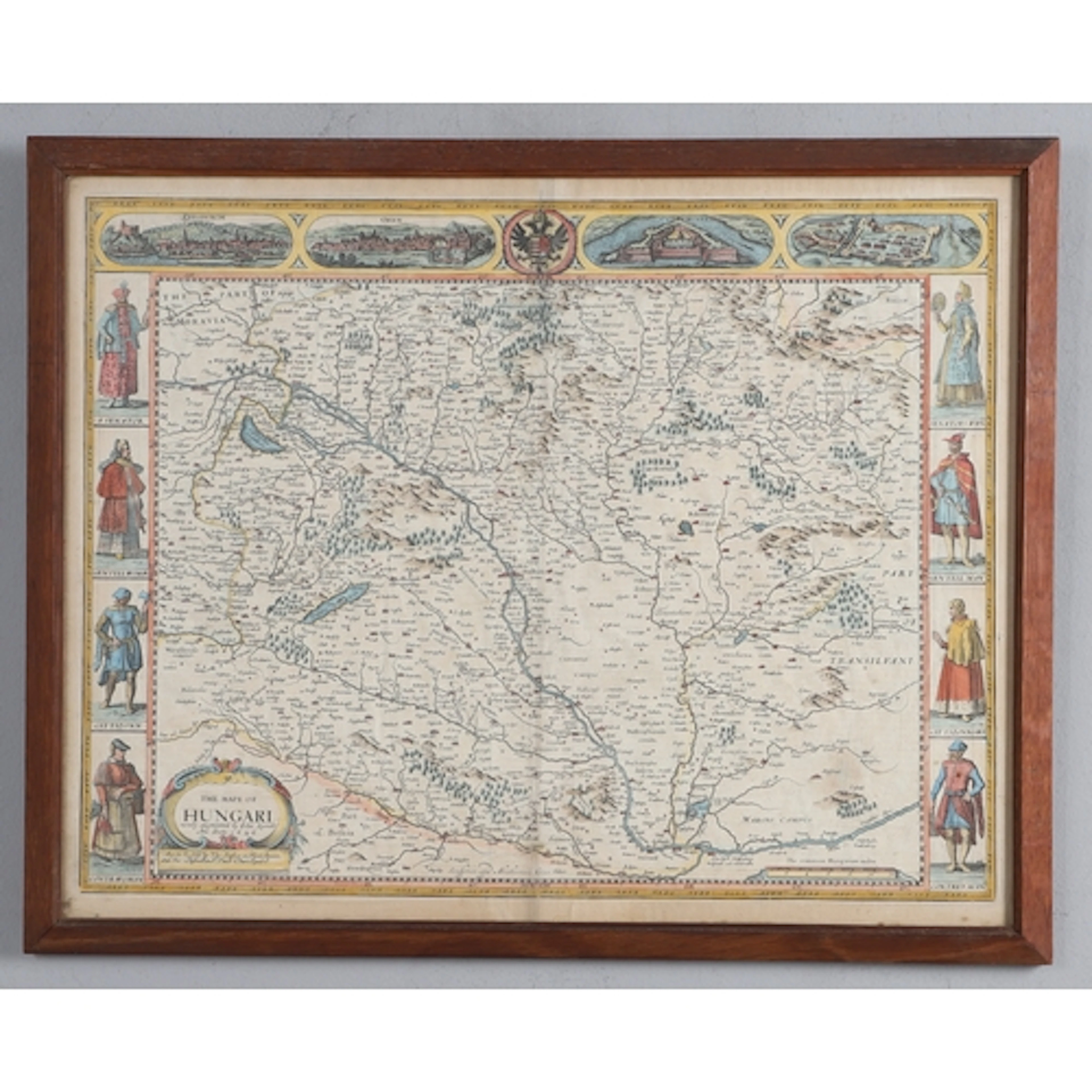
JOHN SPEED. The Mape of Hungari, newly augmented..., 1676 or...
10/14/2026

SEK 4,228.55
Uppsk.: SEK 5,307.41
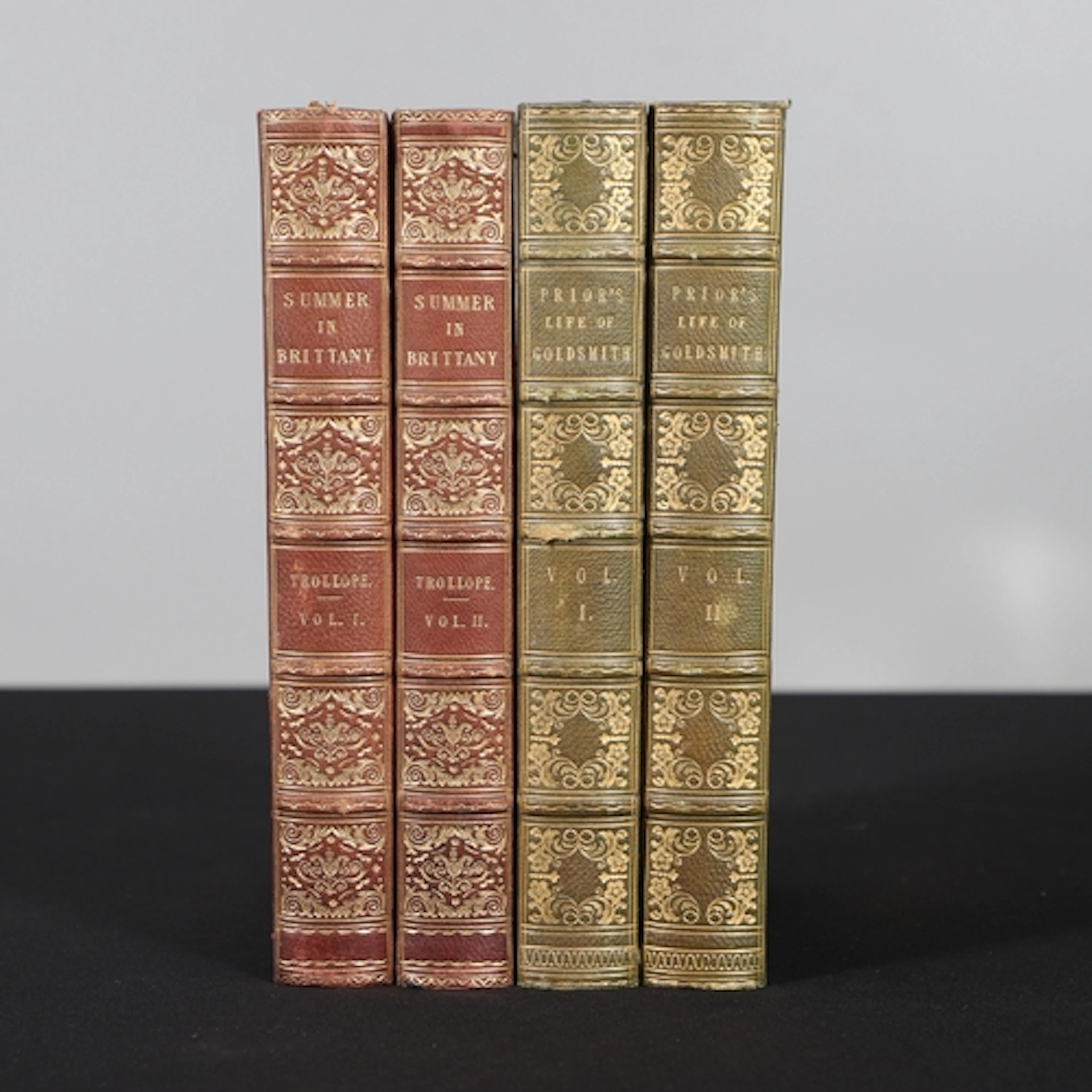
THOMAS ADOLPHUS TROLLOPE. A Summer in Brittany, 2 Volumes, 1...
10/14/2026
SEK 660.71
Uppsk.: SEK 796.11
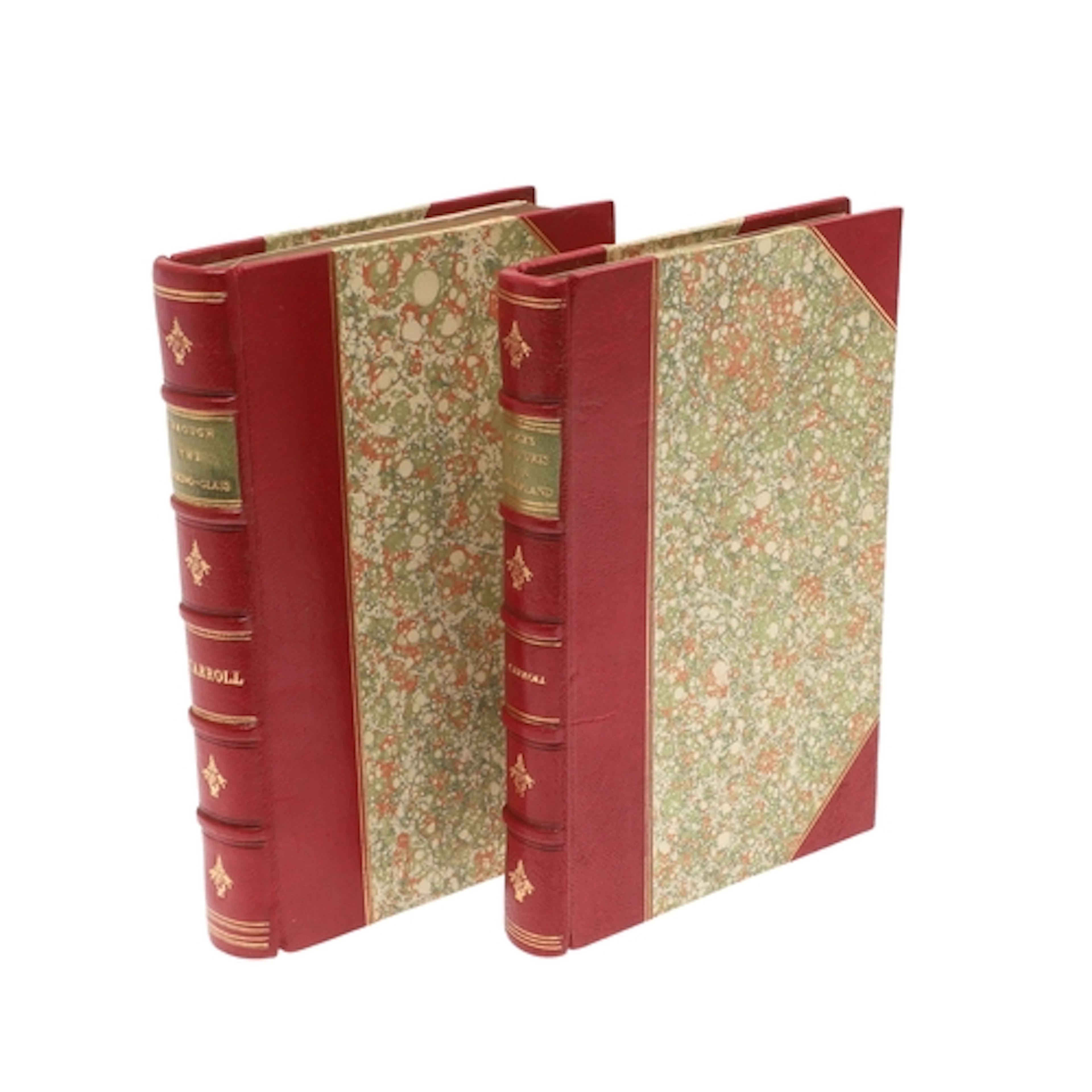
LEWIS CARROLL. Alice's Adventures in Wonderland, Fifth Thous...
10/14/2026
SEK 14,535.64
Uppsk.: SEK 5,307.41

Nå samlare över hela världen med din auktion!
Lista er auktion