





Alla auktioner / Böcker, Kartor och Texter / Antique Road Map, London to Hythe, Kent, English, Cartography, John
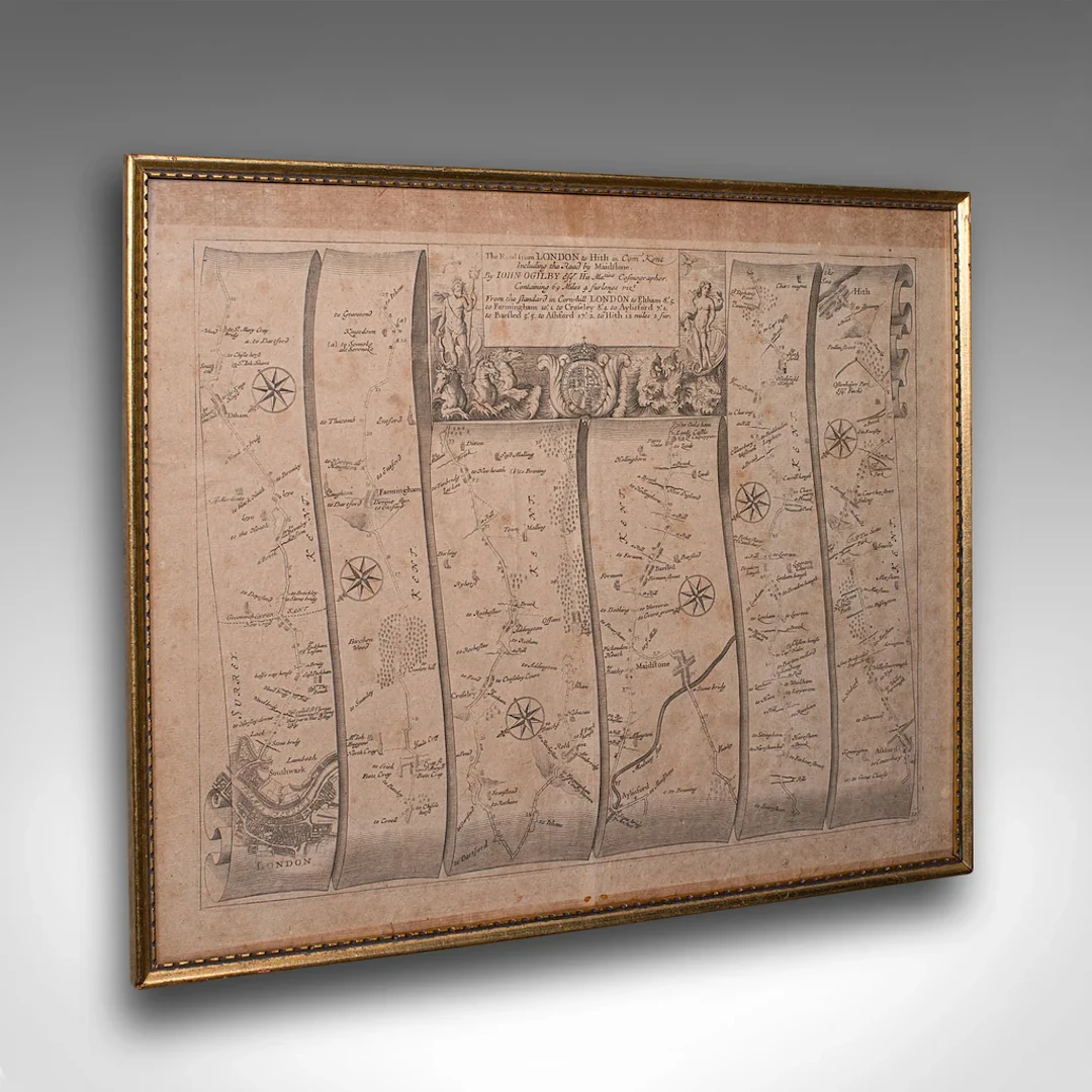
This is an antique Road Map from London to Hythe, Kent. An English, cartographic atlas excerpt by John Ogilby, dating to the late 17th century with later frame, circa 1675 A superb example of early English road cartography, this antique atlas excerpt by John Ogilby depicts the historic route from London to Hythe, Kent. Beautifully preserved and presented within a later glazed frame, this piece embodies the craftsmanship and innovation of Britain’s first road atlas annotated in miles. This is a quality antique road map of London to Hythe, offering remarkable cartographic charm and ready for elegant display in any collection or period setting. Delivered ready to display. Max Width: 48.5cm (19'')Max Depth: 2.5cm (1'')Max Height: 40cm (15.75'') Map Width: 46.5cm (18.25'')Map Height: 37.5cm (14.75'')
Utropspris:SEK 6,937.46
Till auktionenVisa alla föremål frånLondon Fine AntiquesellerBöcker, Kartor och Texter
Utropspris:
SEK 6,937.46
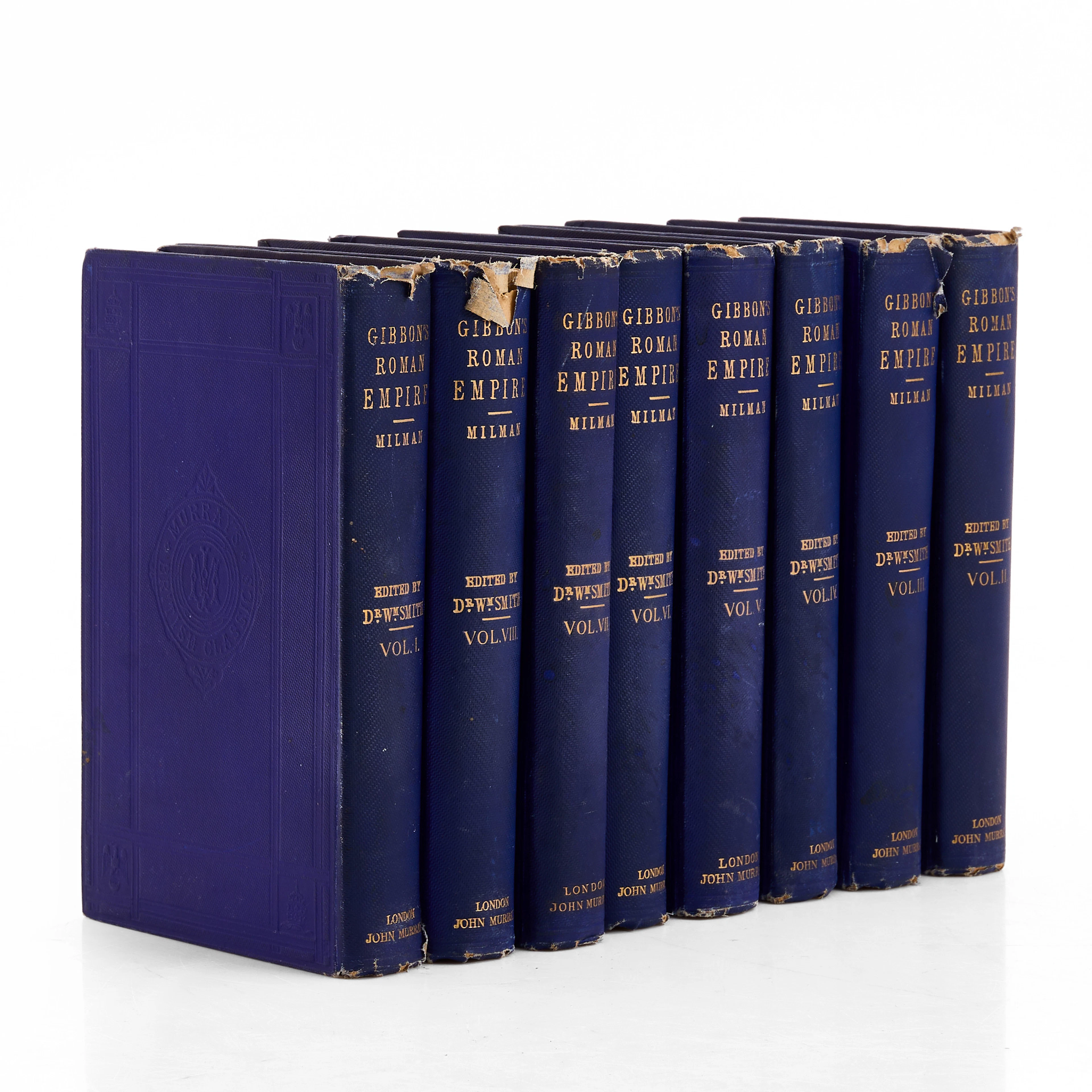
THE ROMAN EMPIRE, Edward Gibbon, 8 vol.
10/15/2026
SEK 2,000
Uppsk.: SEK 1,000
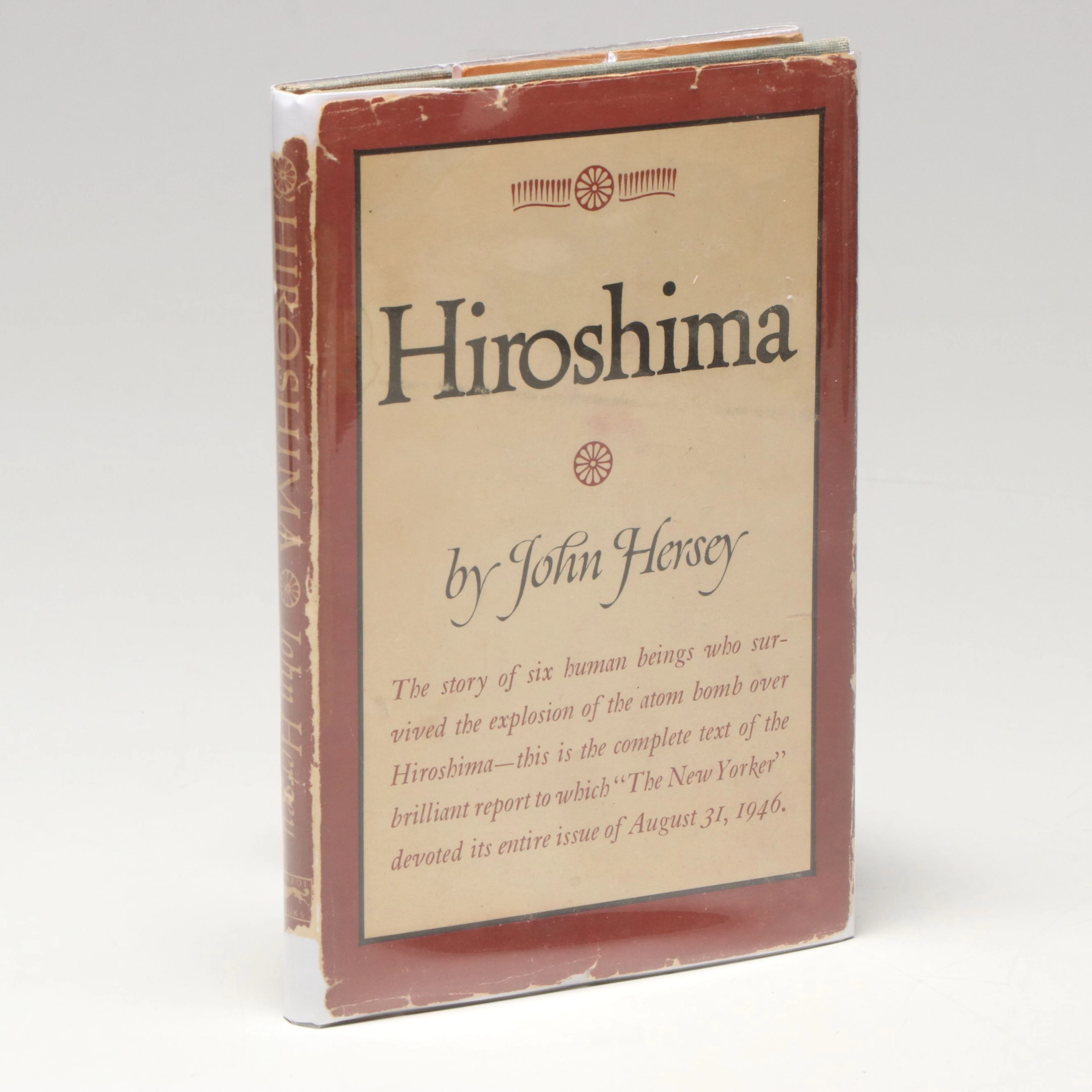
First Edition "Hiroshima" by John Hersey, 1946
10/15/2026
SEK 822.72
Uppsk.: SEK 448.39
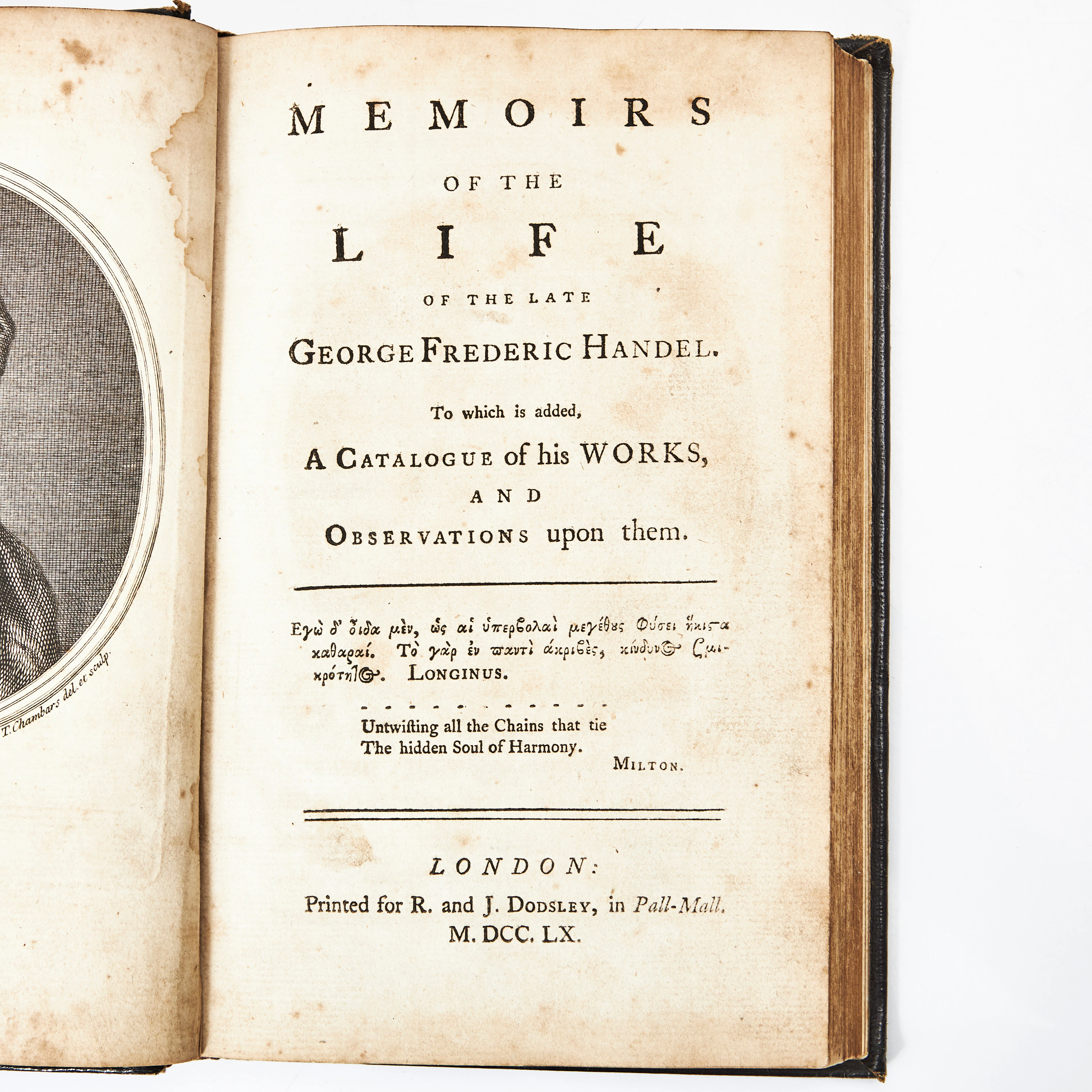
MAINWWARINGS BIOGRAPHY OF HANDEL 1760.
10/14/2026
SEK 2,676
Uppsk.: SEK 4,000
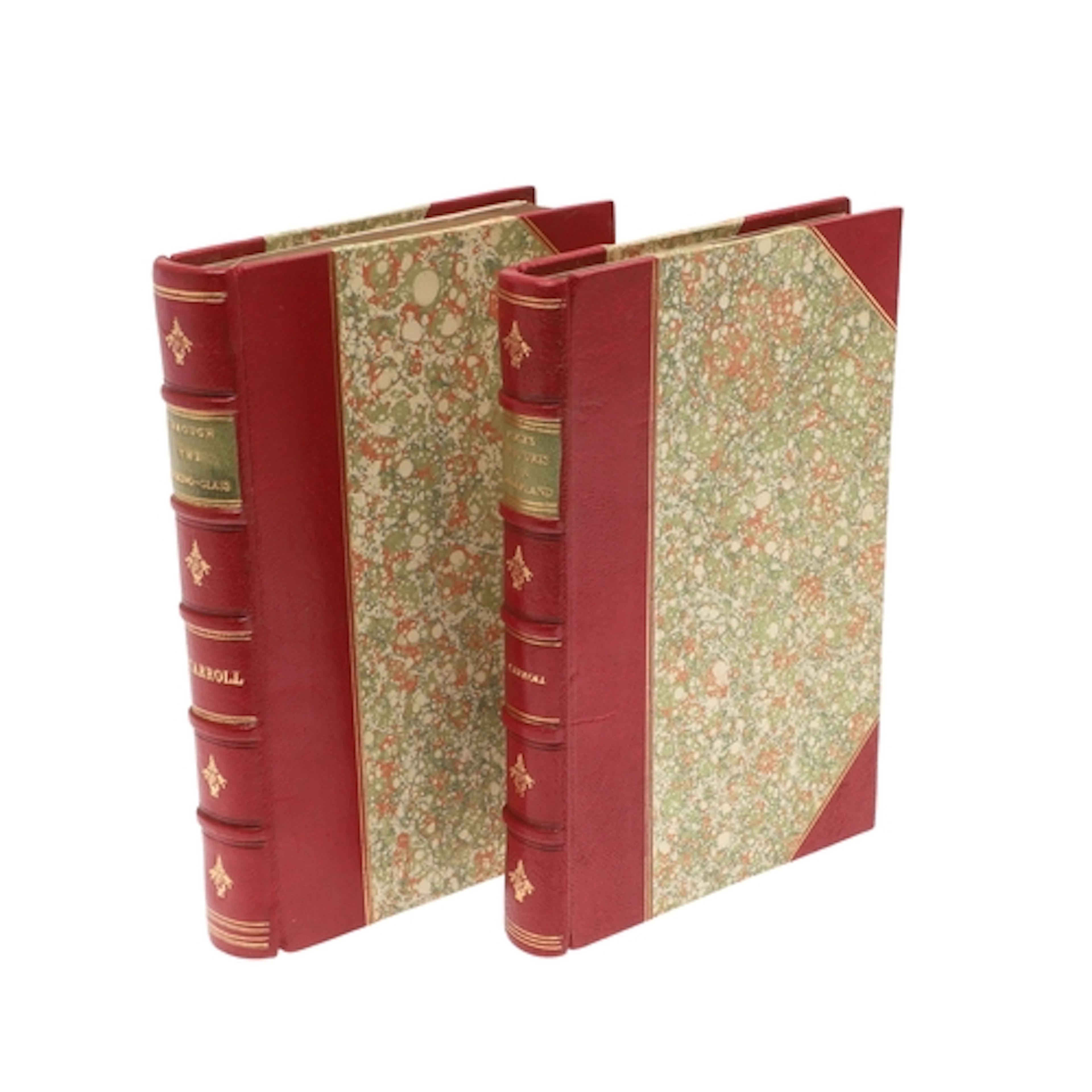
LEWIS CARROLL. Alice's Adventures in Wonderland, Fifth Thous...
10/14/2026

SEK 14,535.64
Uppsk.: SEK 5,307.41
Nå samlare över hela världen med din auktion!
Lista er auktionGenom att prenumerera godkänner du integritetspolicyn. Avprenumerera när som helst.
Barnebys HQ
Brahegatan 10
BOX 5038
114 37 Stockholm
