
Alla auktioner / Böcker, Kartor och Texter / Asia - Africa

Asia - Africa
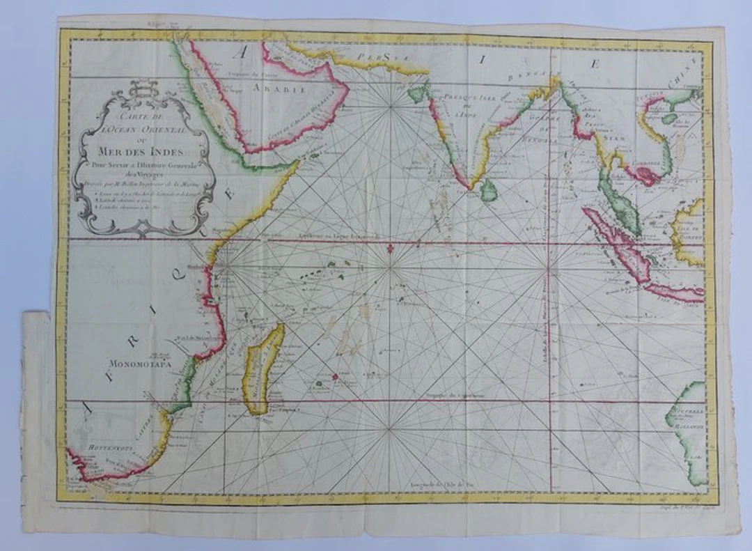
Map of the Eastern Ocean or Indian Ocean To serve the General History of Voyages. Drawn by M. Bellin, Engineer of the Navy. Beautiful copy with period-accurate boundary coloring. Published around 1750 by Jacques Nicolas Bellin. With folds as issued, narrow margins. Back: blank. Size: 38x50 cm. Covers the area of East Africa (from the Cape of Good Hope), Arabia, India, Southeast Asia (Siam, Malacca, Indonesia) up to Australia (New Holland). With many compass lines, the equator, the Tropics of Cancer and Capricorn, and a meridian. Well packed in a tube. Combined shipping available.
Utropspris:SEK 67.22
Till auktionenVisa alla föremål frånCatawikiellerBöcker, Kartor och Texter
Utropspris:
SEK 67.22
Liknande föremål





Auktionsresultat för liknande föremål
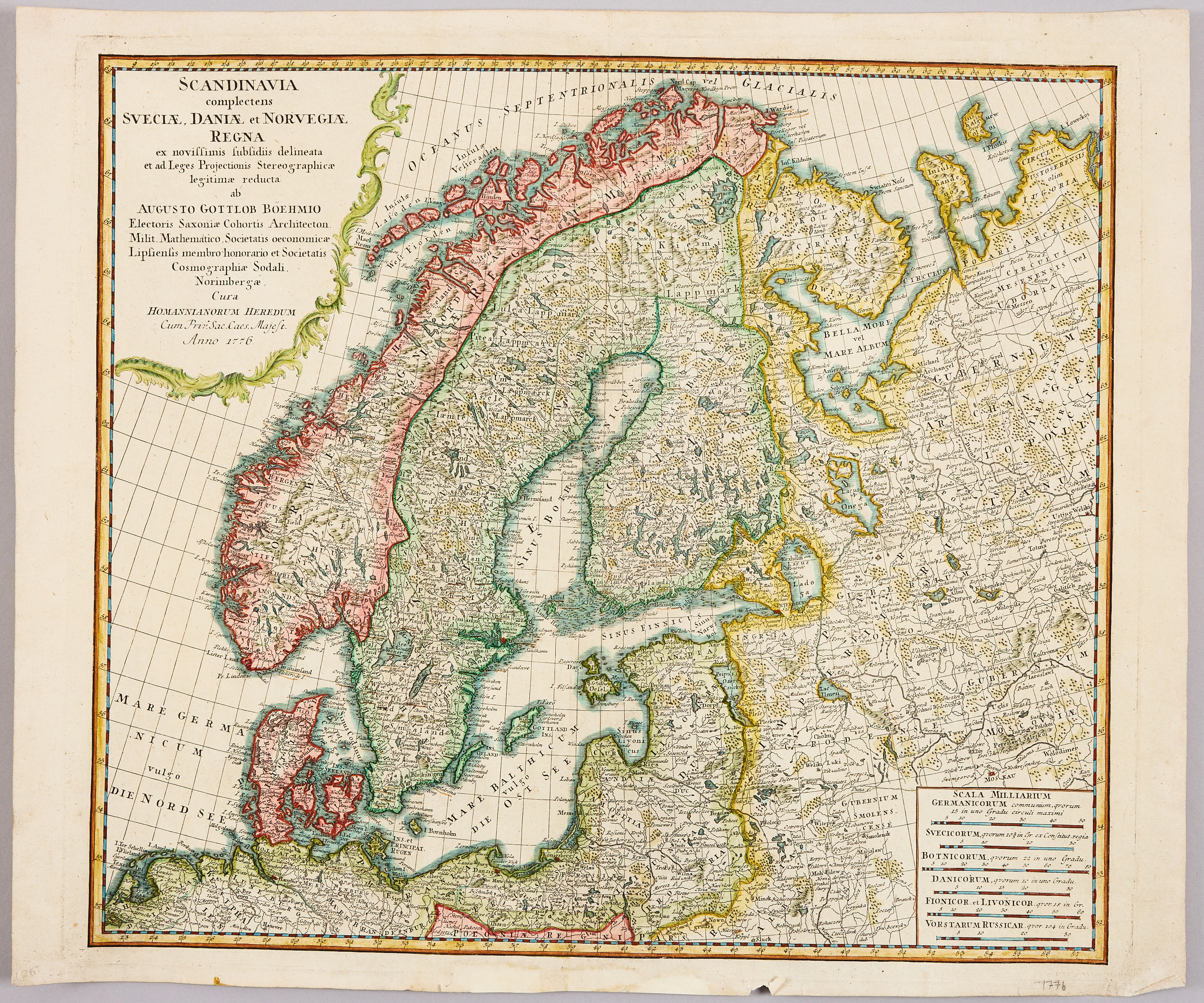
HOMANNS ARVINGAR, KARTA ÖVER SKANDINAVIEN, ca 1770.
10/09/2026
SEK 1,101
Uppsk.: SEK 1,200


SERIETIDNINGAR, 57 st Fantomen, år 1950-56.
10/09/2026
SEK 1,400
Uppsk.: SEK 800
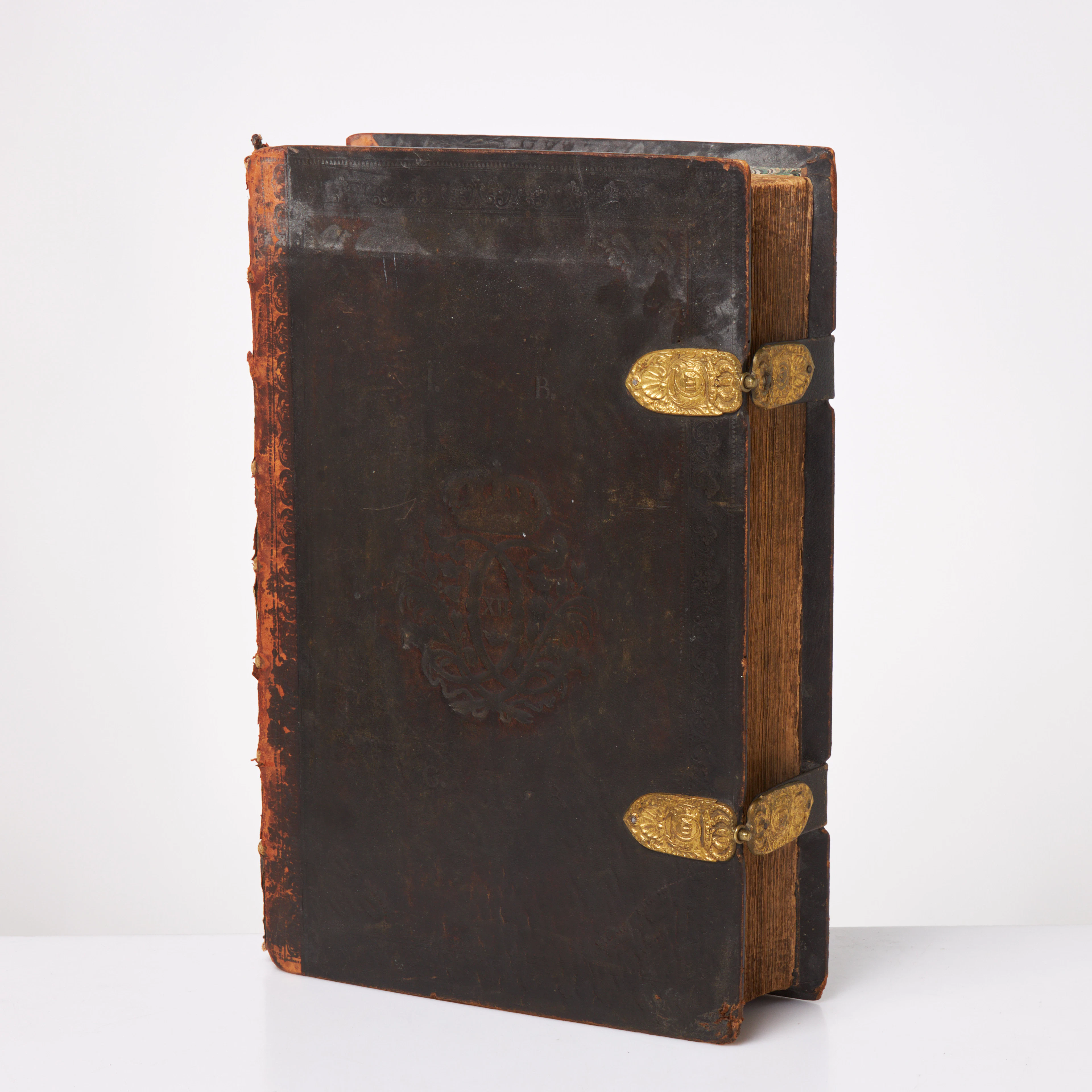
KARL XII:S BIBEL. 1703, samtida band.
10/09/2026
SEK 6,500
Uppsk.: SEK 6,000
Nå samlare över hela världen med din auktion!
Lista er auktion