





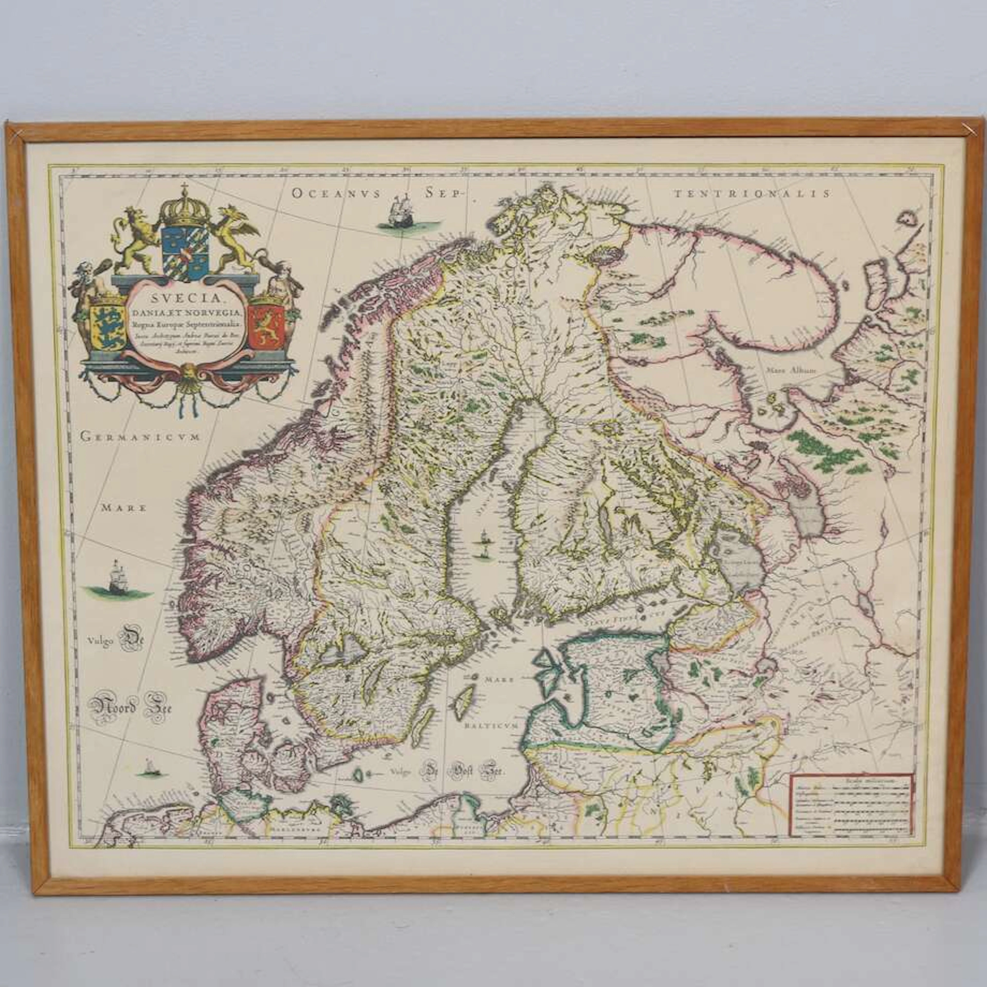



Alla auktioner / Böcker, Kartor och Texter / Asia - East Indies

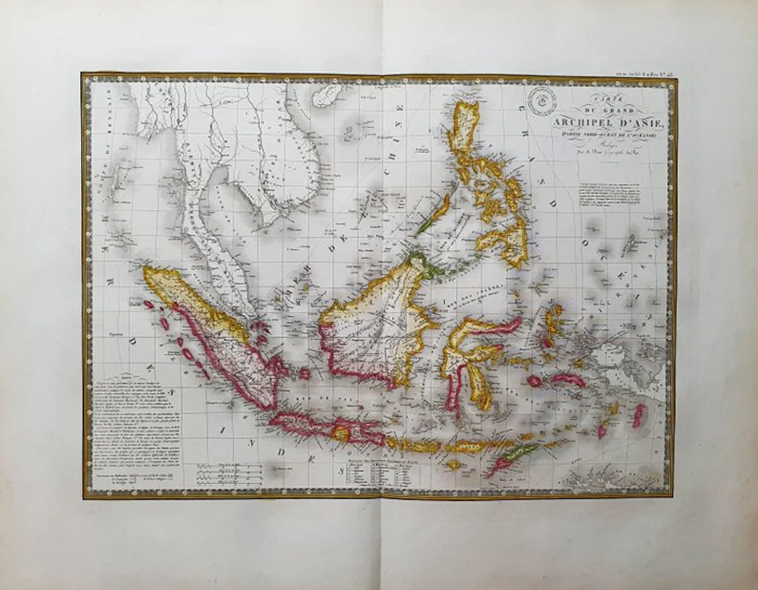
- This Geographical Map is an original 1834-ish copperplate engraving in IMPERIAL-FOLIO. - It is the A. BRUE edition, very beautiful and particularly rich in geographical as well as historical information. - The map in question comes from the work whose title is: "ATLAS UNIVERSEL de Geographie Physique, Politique, Ancienne et Moderne, Contenant les Cartes Generales et Particulieres A PARIS, 1834 ca." - Beautiful map published in PARIS, with excellent coloring, wide margins, and geographically well detailed in every point. - Conditions: the condition is more than good, excellent, as in the photo. - The overall measurements of the map are: 68 cm x 54 cm
Utropspris:SEK 55.64
Till auktionenVisa alla föremål frånCatawikiellerBöcker, Kartor och Texter
Utropspris:
SEK 55.64
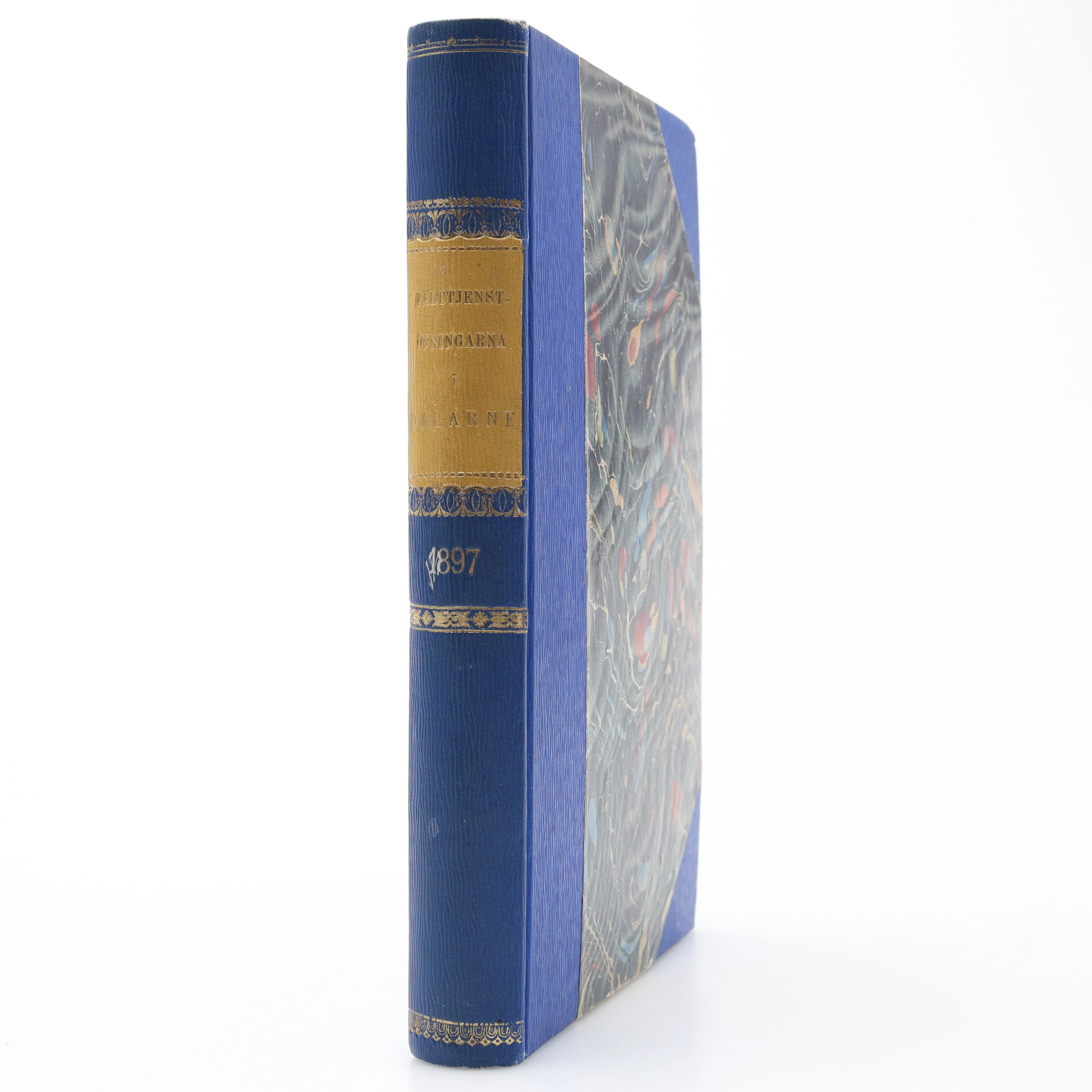
MILITARIA. GENERALSTABENS BERÄTTELSE OM FÄLTTJENSTÖFNINGARNA I DALARNE
10/17/2026
SEK 300
Uppsk.: SEK 350
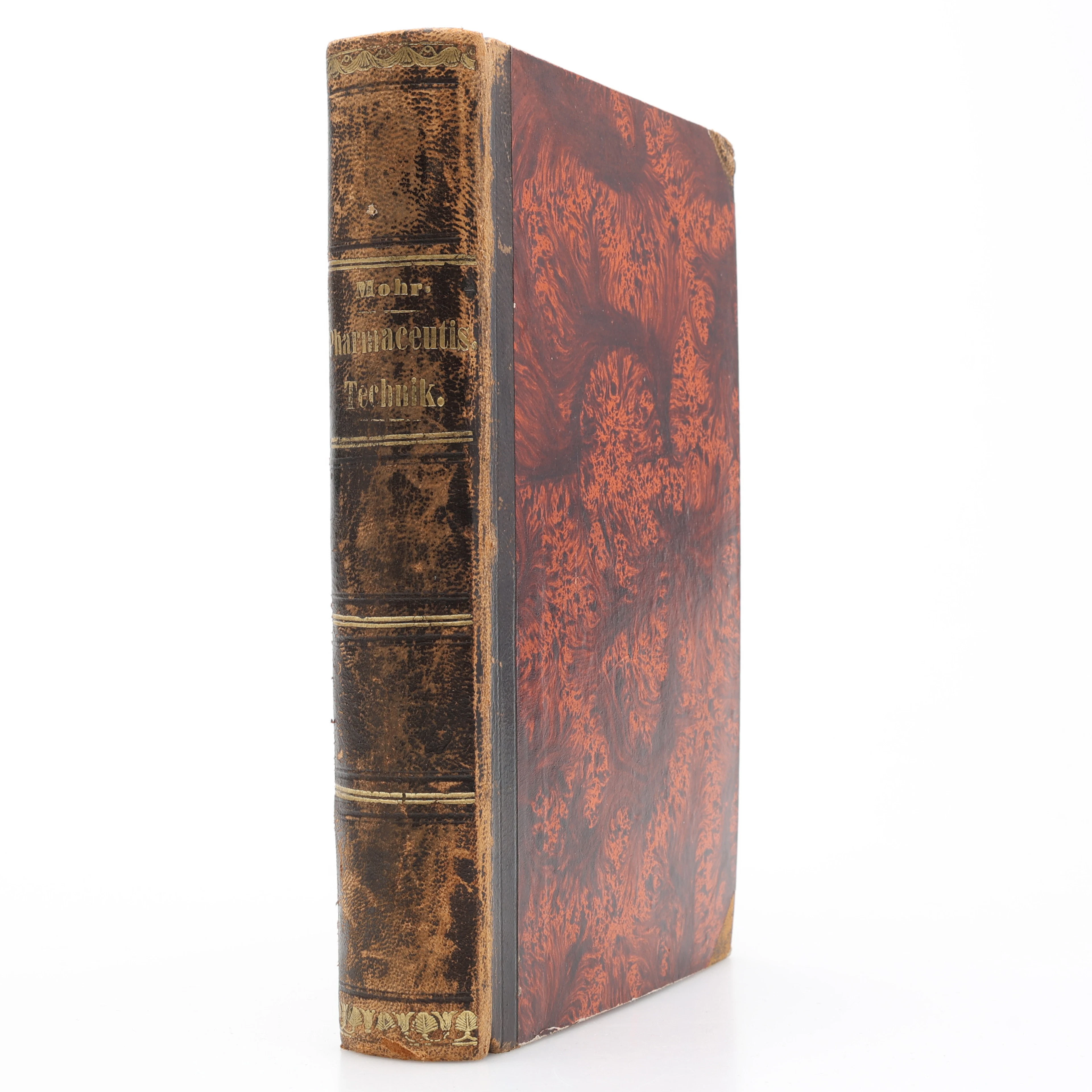
KEMI. KARL FRIEDRICH MOHR'S LEHRBUCH DER PHARMACEUTISCHEN TECHNIK
10/17/2026
SEK 400
Uppsk.: SEK 500
Nå samlare över hela världen med din auktion!
Lista er auktionGenom att prenumerera godkänner du integritetspolicyn. Avprenumerera när som helst.
Barnebys HQ
Brahegatan 10
BOX 5038
114 37 Stockholm
