








Alla auktioner / Böcker, Kartor och Texter / Australia - Southern Hemisphere / Oceania / New Zealand; La Haye / P

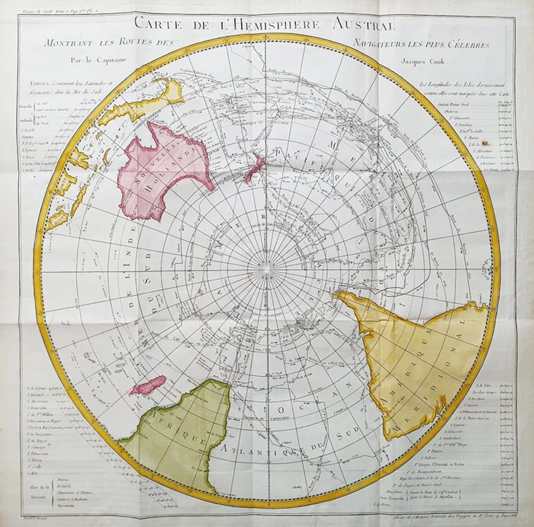
This Geographic Map is an original copper-plate engraving from 1747 (18th Century). This is the new and updated edition of BELLIN & PREVOST, edited in 1747 and around 1788 in its rare work, which bears the title: "HISTOIRE GENERALE DES VOYAGES AMSTERDAM, 1747". Beautiful Geographical Chart, printed in the Netherlands, with excellent inking and fantastic watercolor, and considering the edition year, it is geographically well detailed in every point. Conditions: the conditions are very, very good considering its age and its size, as the photos themselves show; however there are the usual editorial folds, easily removable and entirely insignificant. The overall dimensions of the map are: 59 cm x 58 cm
Utropspris:SEK 1,670.8
Till auktionenVisa alla föremål frånCatawikiellerBöcker, Kartor och Texter
Utropspris:
SEK 1,670.8
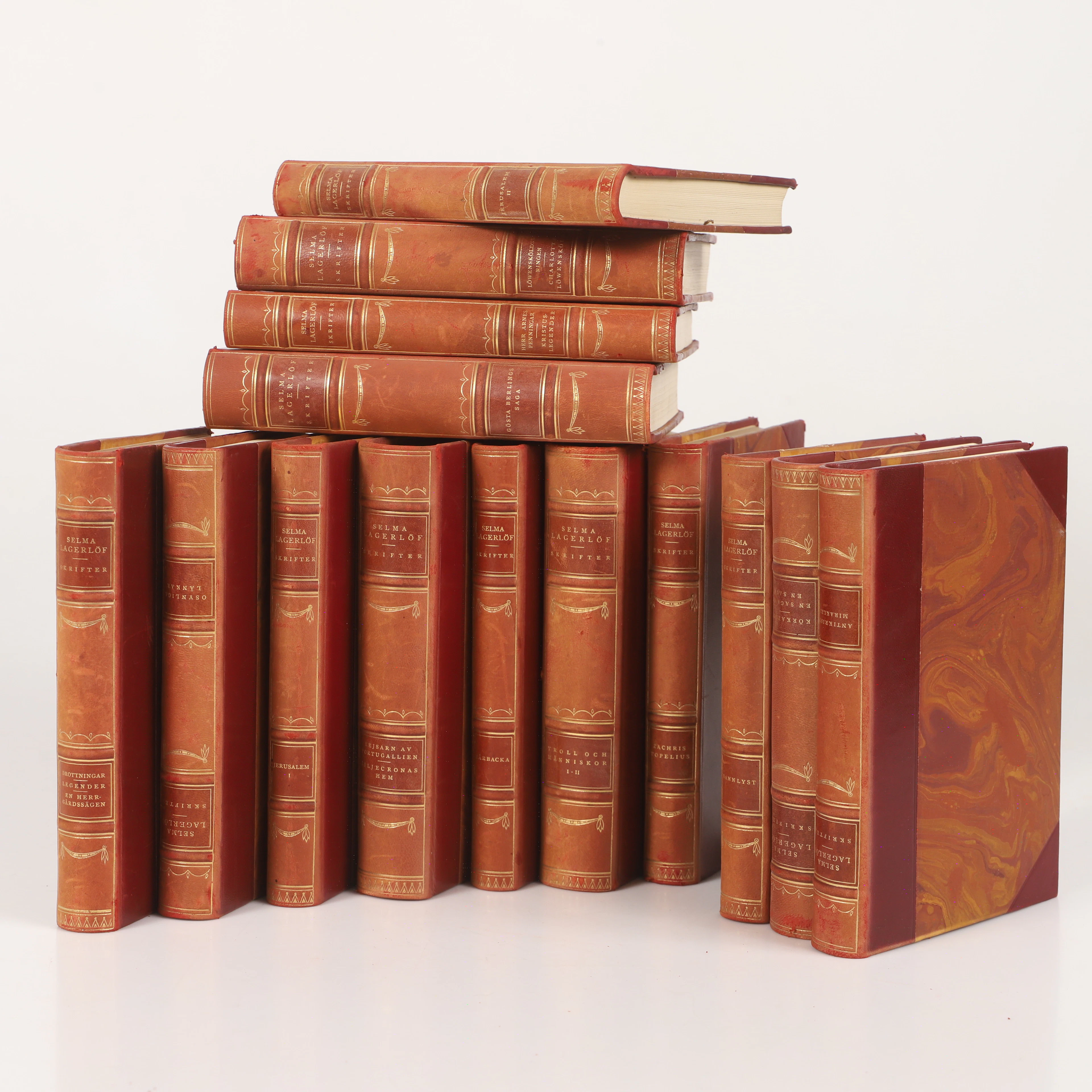
SELMA LAGERLÖF. Böcker, 14 stycken, Albert Bonniers Boktryckeri 1925.
10/16/2026

SEK 650
Uppsk.: SEK 400
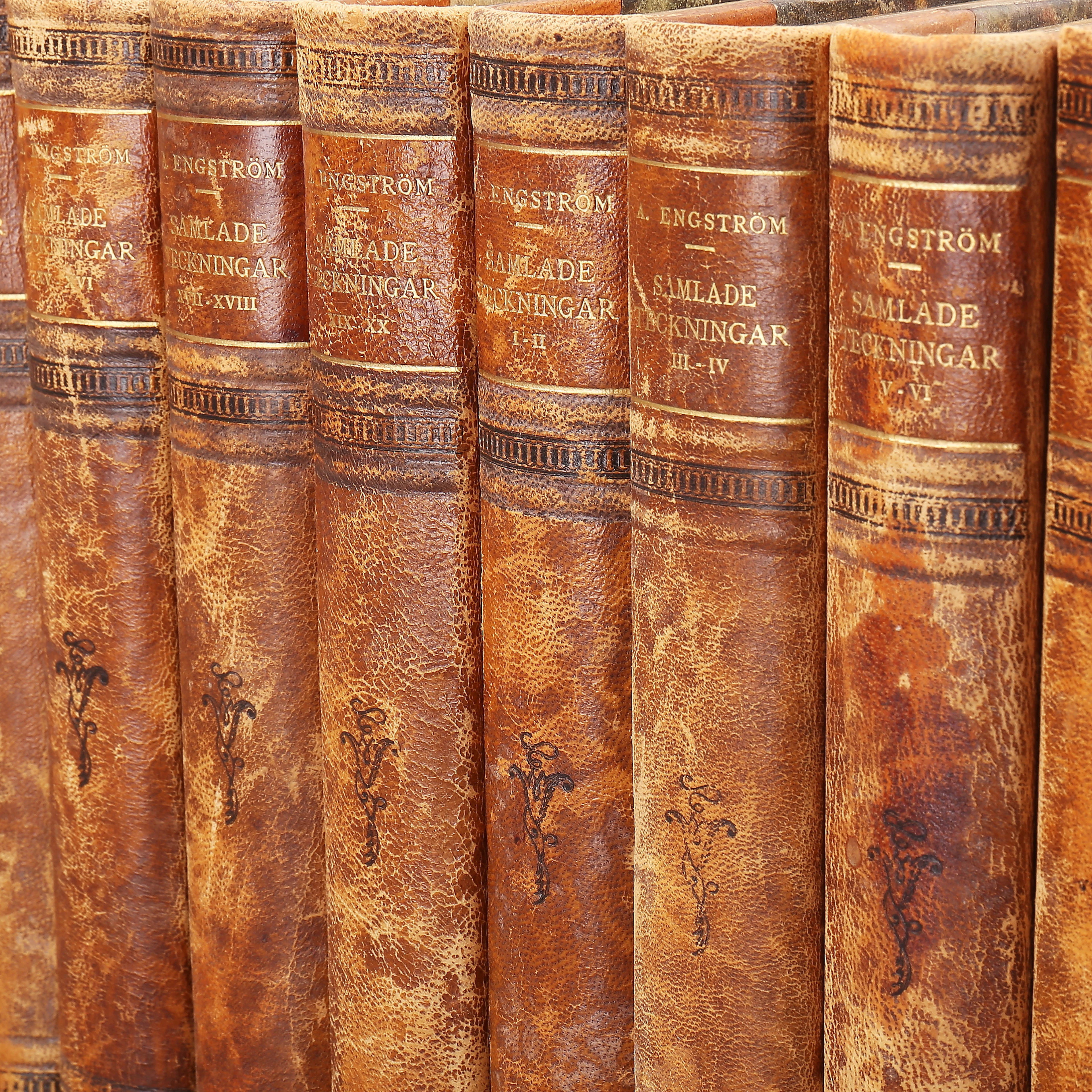
ALBERT ENGSTRÖM, samlade teckningar, 10 band.
10/16/2026
SEK 520
Uppsk.: SEK 500
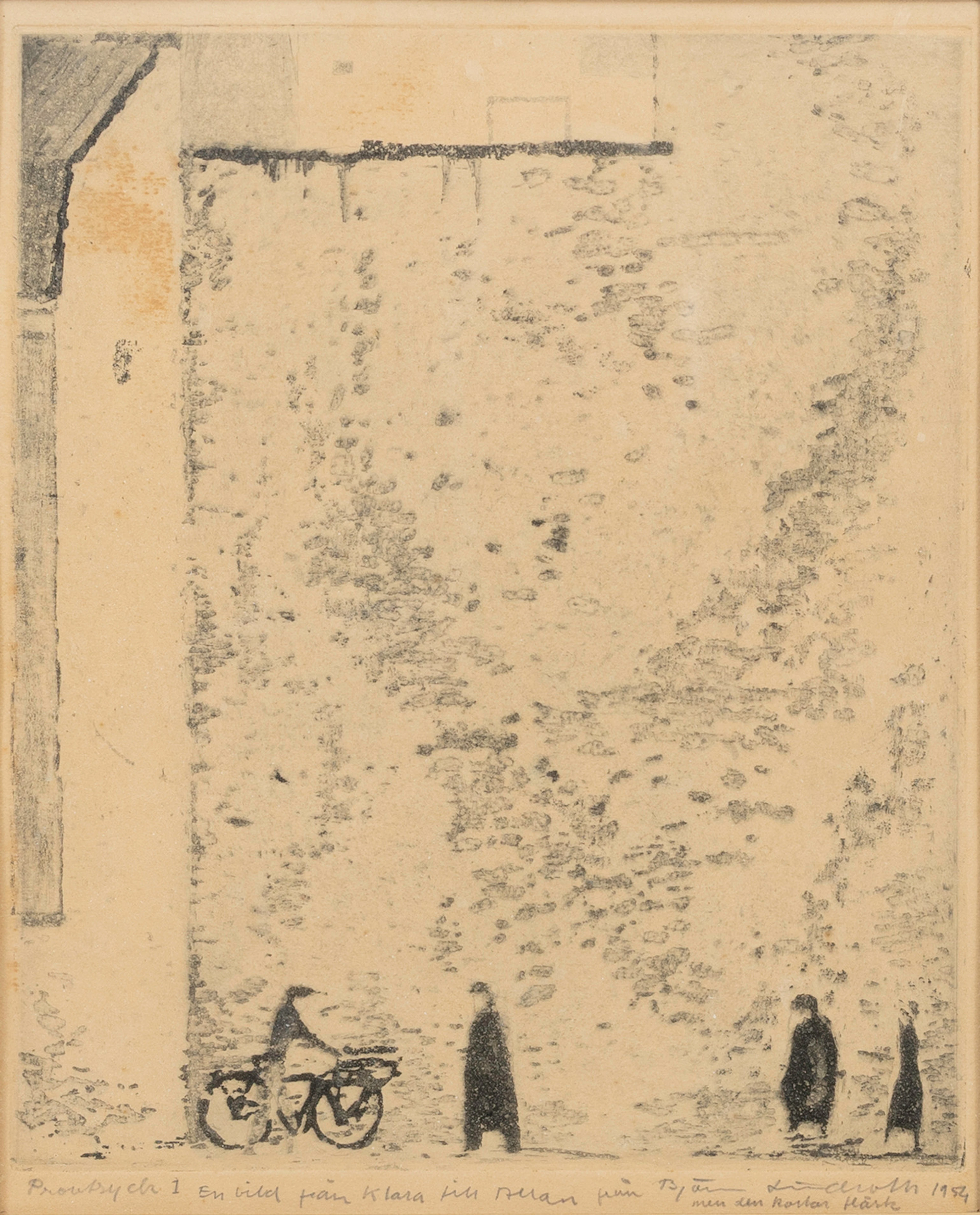
BJÖRN LINDROTH. , etsning, "En bild från Klara", provtryck 1 med personlig
10/16/2026
SEK 1,100
Uppsk.: SEK 2,000
Nå samlare över hela världen med din auktion!
Lista er auktionGenom att prenumerera godkänner du integritetspolicyn. Avprenumerera när som helst.
Barnebys HQ
Brahegatan 10
BOX 5038
114 37 Stockholm
