









Alla auktioner / Böcker, Kartor och Texter / Belgio, Paesi Bassi - Duchy of Brabant; Nicolas de Fer...

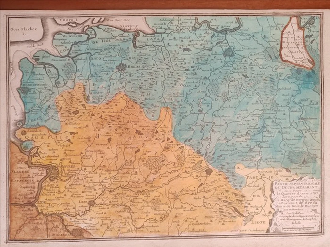
Important and vivid original geographic map of the northern portion of the historic Duchy of Brabant, copper-engraved in 1705 by the renowned royal cartographer Nicolas de Fer (1646–1720) David Rumsey Map Collection. This sought-after plate belongs to the famous work L'Atlas Curieux ou Le Monde représenté dans des cartes générales et particulières, issued in Paris by Peter Harrington. The map offers a sharp and detailed documentation of the political boundaries of the area straddling the present-day territories of Belgium and the Netherlands (the Southern Netherlands). The map deftly highlights the territorial fragmentation of the era, distinguishing chromatically through an era-appropriate coloring the Spanish Habsburg possessions (such as the Antwerp district) from the provinces controlled by the United Provinces of the Netherlands (including Breda, Bergen op Zoom and 's-Hertogenbosch) RareMaps. In the lower right corner rises an elegant and sober rectangular cartouche bearing the full descriptive title, the graphic scales in leagues, and the author’s signature. The work is presented printed on contemporary paper, finely engraved by the famous collaborator of De Fer, Pieter Starckman, proving itself a piece of great visual and collecting impact. Dimensions 26 x 41 cm Will be shipped by courier.
Utropspris:SEK 33.37
Till auktionenVisa alla föremål frånCatawikiellerBöcker, Kartor och Texter
Utropspris:
SEK 33.37
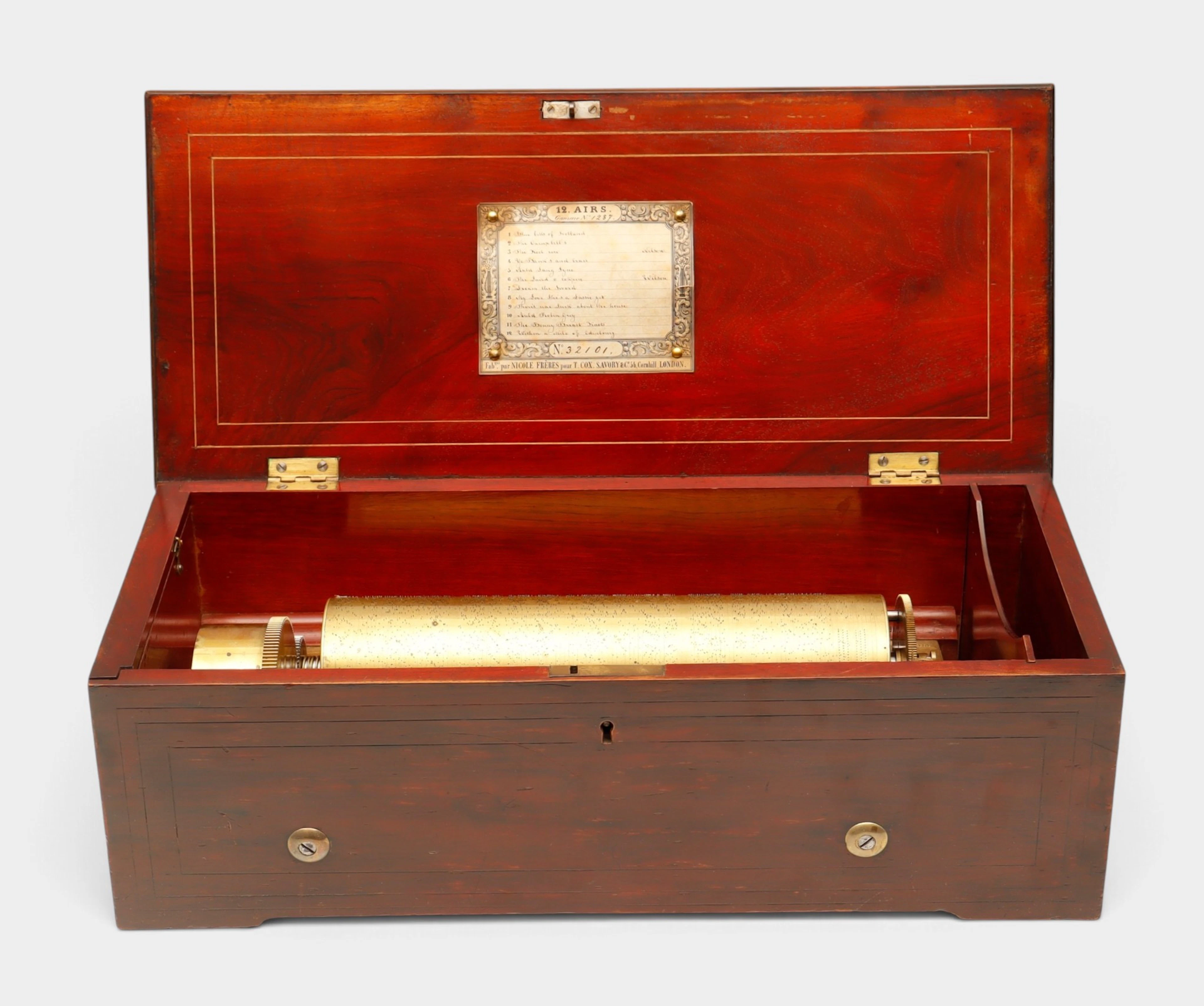
Caja de música suiza de doce canciones de Nicole Frères, hacia 1848-1852.
10/22/2026
SEK 15,020.02
Uppsk.: SEK 14,445.99
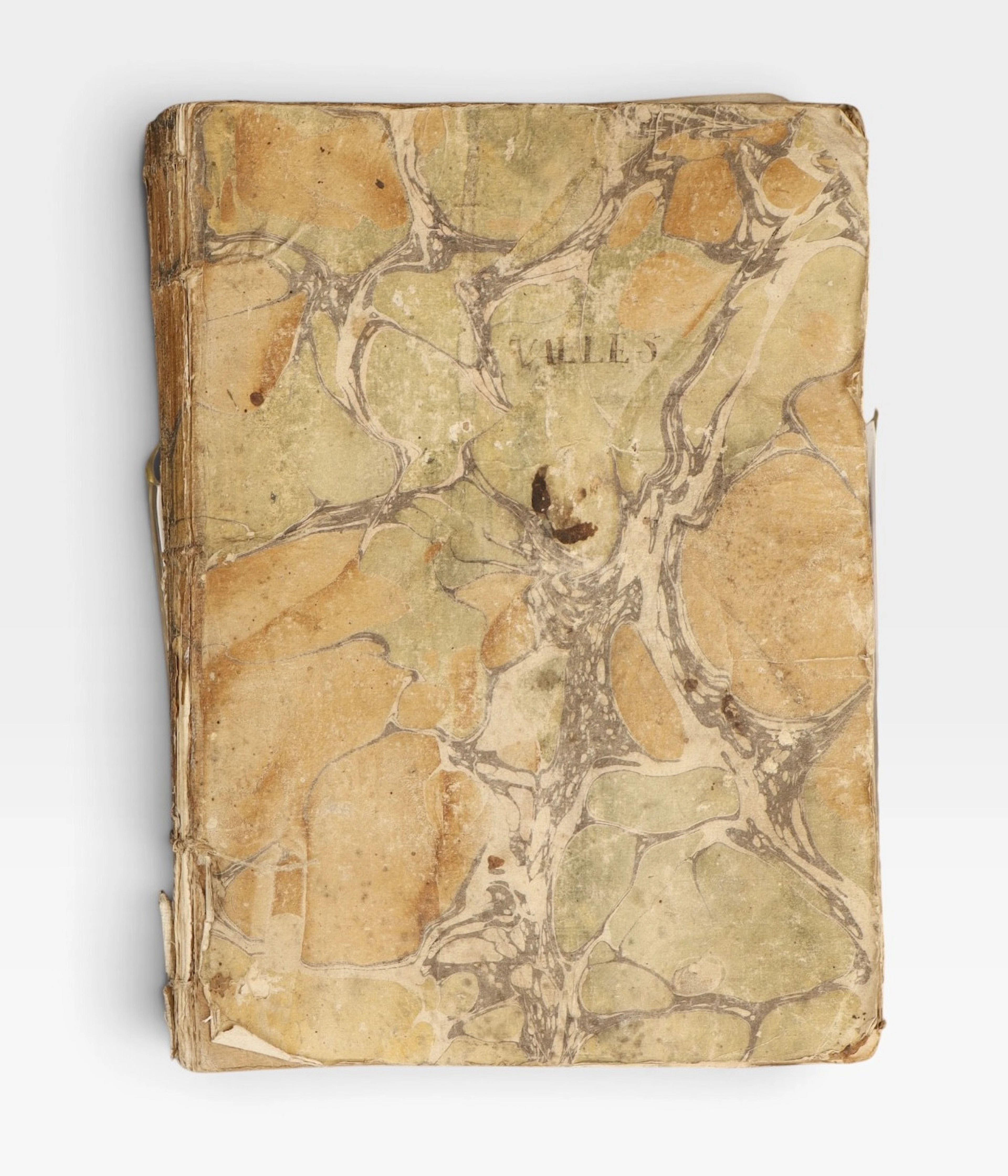
Guerra de la Independencia, Cataluña, 1808-1809.
10/22/2026
SEK 1,446.37
Uppsk.: SEK 1,582.63
Nå samlare över hela världen med din auktion!
Lista er auktionGenom att prenumerera godkänner du integritetspolicyn. Avprenumerera när som helst.
Barnebys HQ
Brahegatan 10
BOX 5038
114 37 Stockholm
