
Alla auktioner / Böcker, Kartor och Texter / Canada - Nord America - North Pole

Canada - Nord America - North Pole
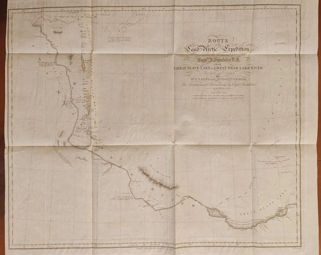
Fascinating and rare original historical map published in 1828, documenting the famous second Arctic land expedition led by the legendary Royal Navy Captain John Franklin (1786 - 1847). This geographical chart represents a crucial testimony of the scientific and topographical surveys conducted in sub-Arctic North America for opening northern trade routes and for the search for the Northwest Passage. The route describes with extreme precision the fluvial and lacustrine path linking Great Slave Lake to the Mackenzie River and to Great Bear Lake, territories then almost entirely unexplored. The original full title inscribed on the refined cartouche reads: "Route of the Land Arctic Expedition under the command of Capt.n J. Franklin R.N. from Great Slave Lake to Great Bear Lake River. Surveyed and Drawn by M.r E.N. Kendall, Assistant Surveyor. The Astronomical Observations by Capt.n Franklin A.D. 1825." The map was physically surveyed and drawn in the field by the cartographer and assistant surveyor Edward Nicholas Kendall (1800 - 1845), integrating the complex calculations and astronomical observations conducted by Captain Franklin himself in 1825. This specific sheet comes from the first official edition of the famous travel account entitled "Narrative of a Second Expedition to the Shores of the Polar Sea in the Years 1825, 1826, and 1827", printed in London by the publisher John Murray in 1828. The execution technique used is a masterful copperplate engraving with etching on wove paper of the era, printed strictly in black and white as originally published. Regarding general condition, the sheet is in good conservation condition, taking into proper account the era and the nature of the object. The map shows the natural and correct editorial folds due to its original inclusion inside the volume, where it was once folded. The paper is genuine, with intact margins and a splendid inking. This is a collectible piece of great historical importance for all enthusiasts of Canadian cartography, great polar explorations, and the heroic saga of travelers in the Arctic ice. Dimensions 59 x 62 cm Will be shipped by courier
Utropspris:SEK 2,800.88
Till auktionenVisa alla föremål frånCatawikiellerBöcker, Kartor och Texter
Utropspris:
SEK 2,800.88
Liknande föremål





Auktionsresultat för liknande föremål
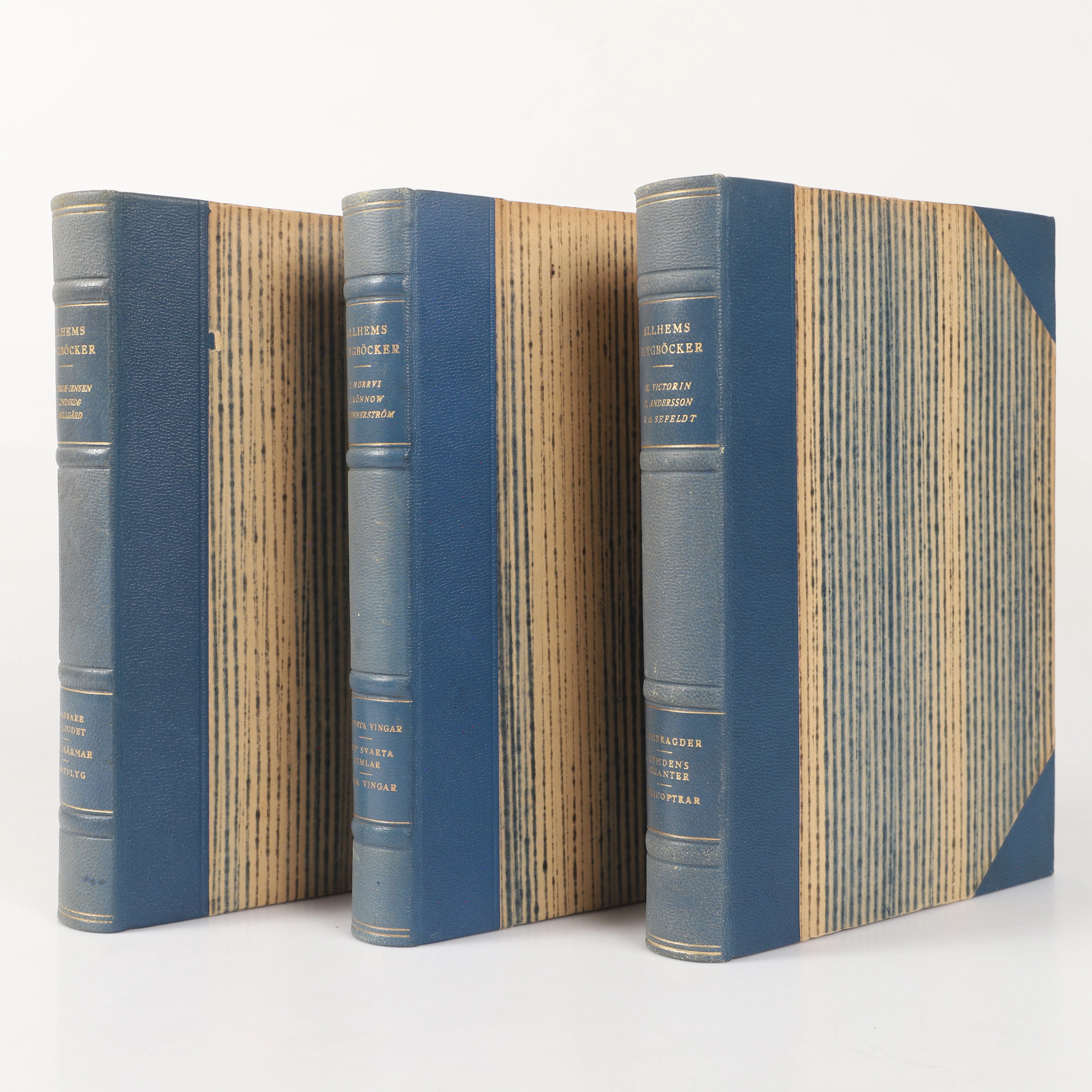
BÖCKER, 3 stycken, "Allhems Flygböcker", A.-B Allhems Förlag, Malmö, 1946-1948.
10/10/2026

SEK 300
Uppsk.: SEK 400
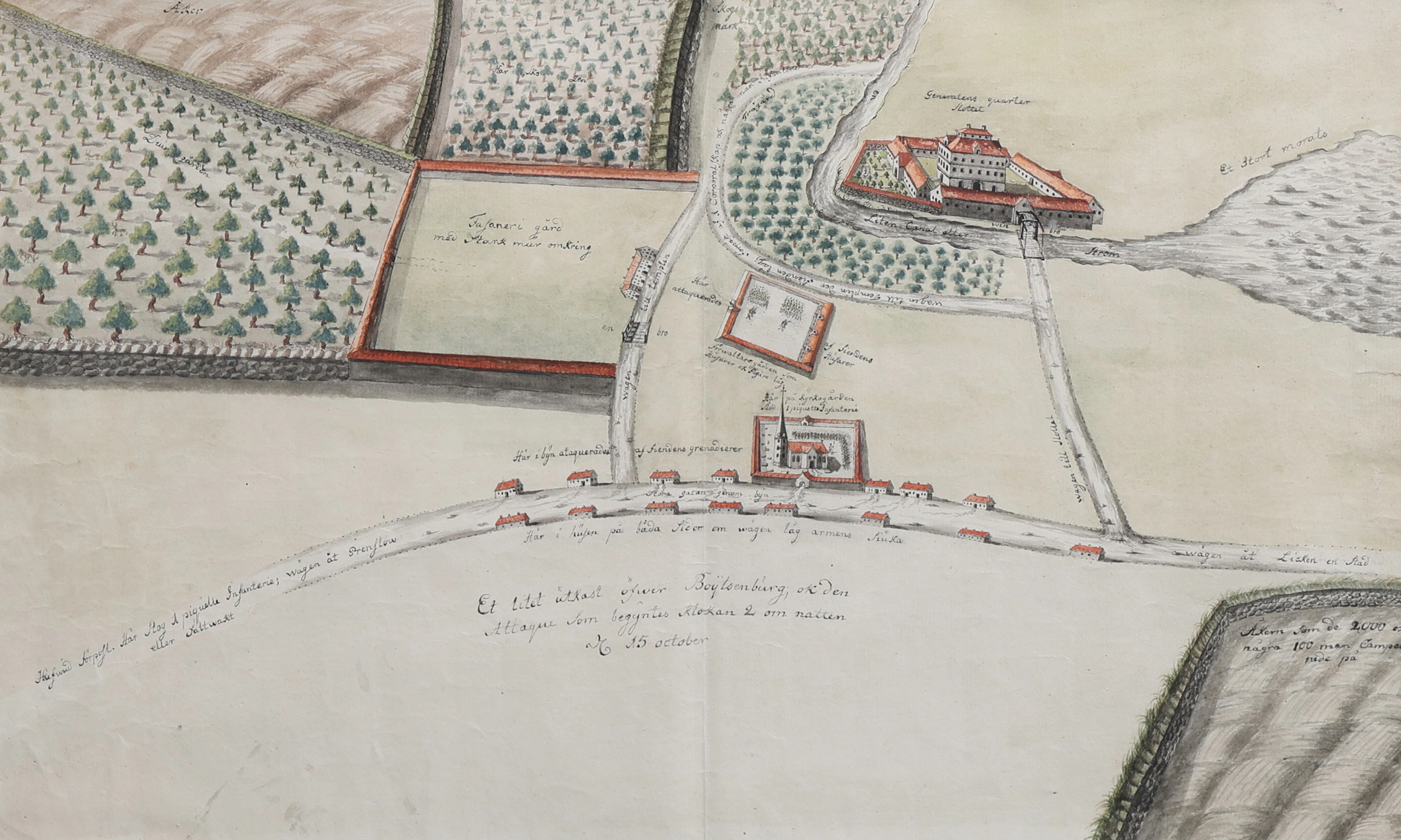
HANDRITAD SITUATIONSKARTA ÖVER BOITZENBURG, MECKLENBURG-VORPOMMERN
10/10/2026
SEK 4,350
Uppsk.: SEK 4,000
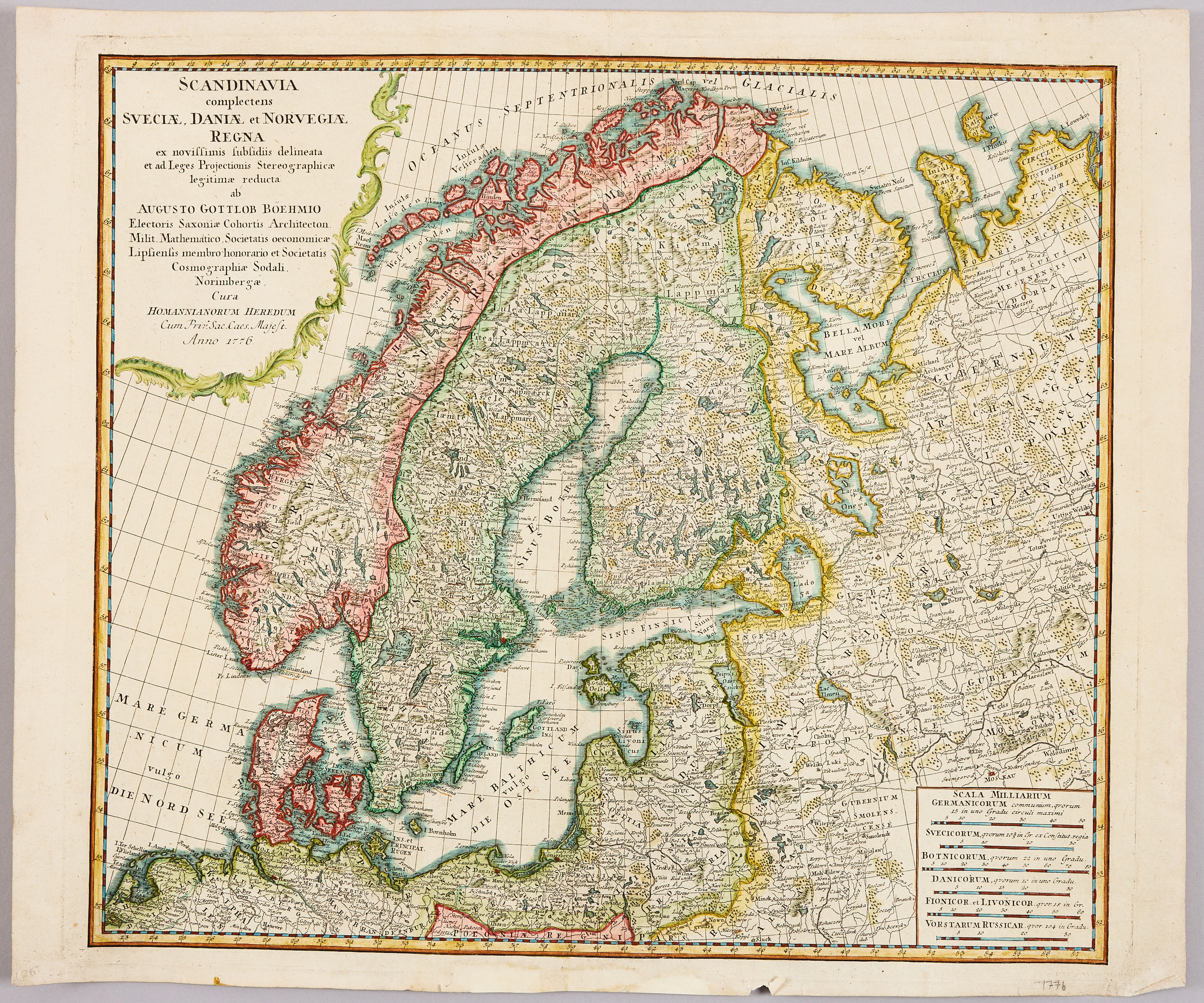
HOMANNS ARVINGAR, KARTA ÖVER SKANDINAVIEN, ca 1770.
10/09/2026
SEK 1,101
Uppsk.: SEK 1,200

Nå samlare över hela världen med din auktion!
Lista er auktion