
Alla auktioner / Böcker, Kartor och Texter / Europe - North Europe

Europe - North Europe
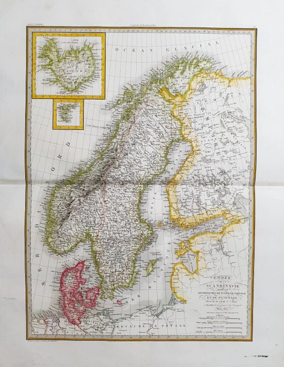
This Geographical Map is an original copper engraving dating from around 1830. It is the updated edition of the famous LAPIE work, published by ALEXANDRE and PIERRE. LAPIE, around 1830. The map in question comes from the beautiful and highly illustrated work entitled: "Atlas Universel de Géographie ancienne et moderne, précédé d'une Abrégé de Geographie physique et historique..... A PARIS, 1830 ca." A very large map in FOLIO size, printed in PARIS, with excellent original coloring, wide margins, and geographically well detailed in every point. Conditions: the condition is good as shown in the photo. The overall dimensions of the map are: 67 cm x 51 cm.
Utropspris:SEK 22.4
Till auktionenVisa alla föremål frånCatawikiellerBöcker, Kartor och Texter
Utropspris:
SEK 22.4
Liknande föremål





Slutpriser för liknande föremål
![[ANONYMOUS]. — *The Libertine Tartuffe, or The Triumph of Vi - Lot 1](https://bbys.imgix.net/3696/a25fefcbf42634719fdafeff05d6e65c51d0741b56f3654754d21862ba8bc77a.webp?auto=format&w=3840&q=75)
[ANONYMOUS]. — *The Libertine Tartuffe, or The Triumph of Vi - Lot 1
10/11/2026

SEK 56
Uppsk.: SEK 168.05
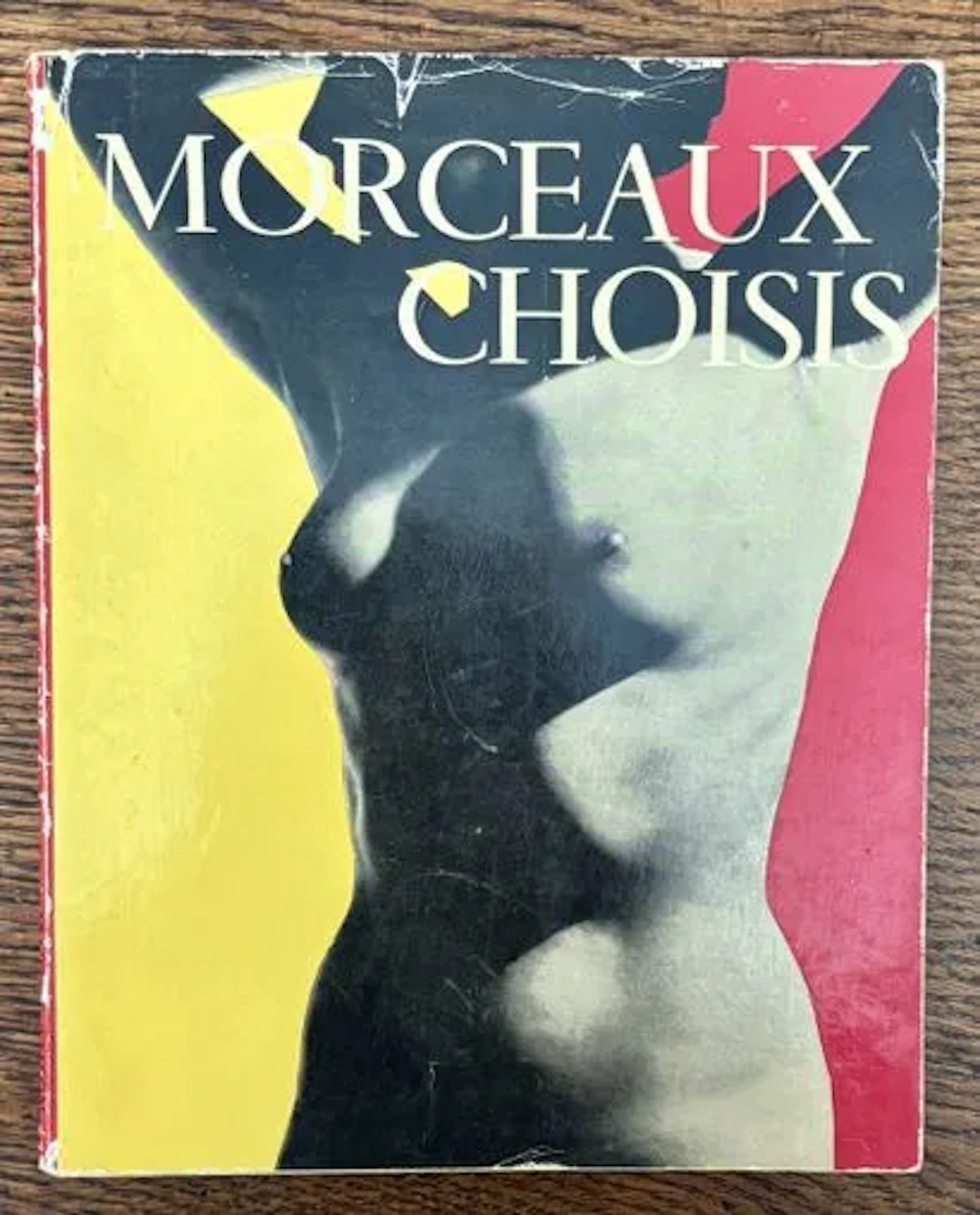
AMSON (Marcel) & JAHAN (Pierre). — Selected Pieces. - Lot 11
10/11/2026
SEK 224.02
Uppsk.: SEK 336.1
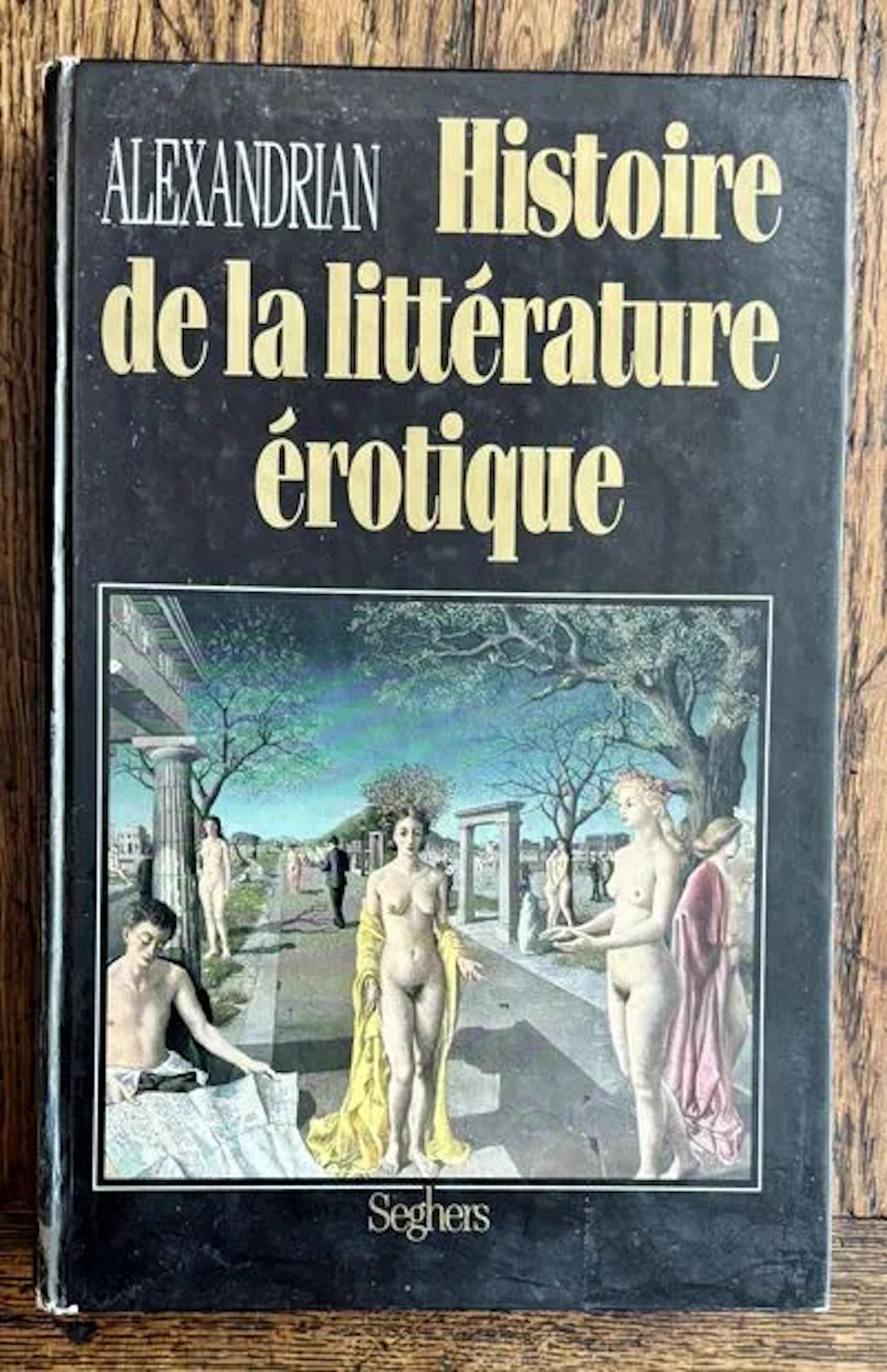
ALEXANDRIAN — A HISTORY OF EROTIC LITERATURE - Lot 9
10/11/2026
SEK 156.81
Uppsk.: SEK 168.05
Nå samlare över hela världen med din auktion!
Lista er auktion