





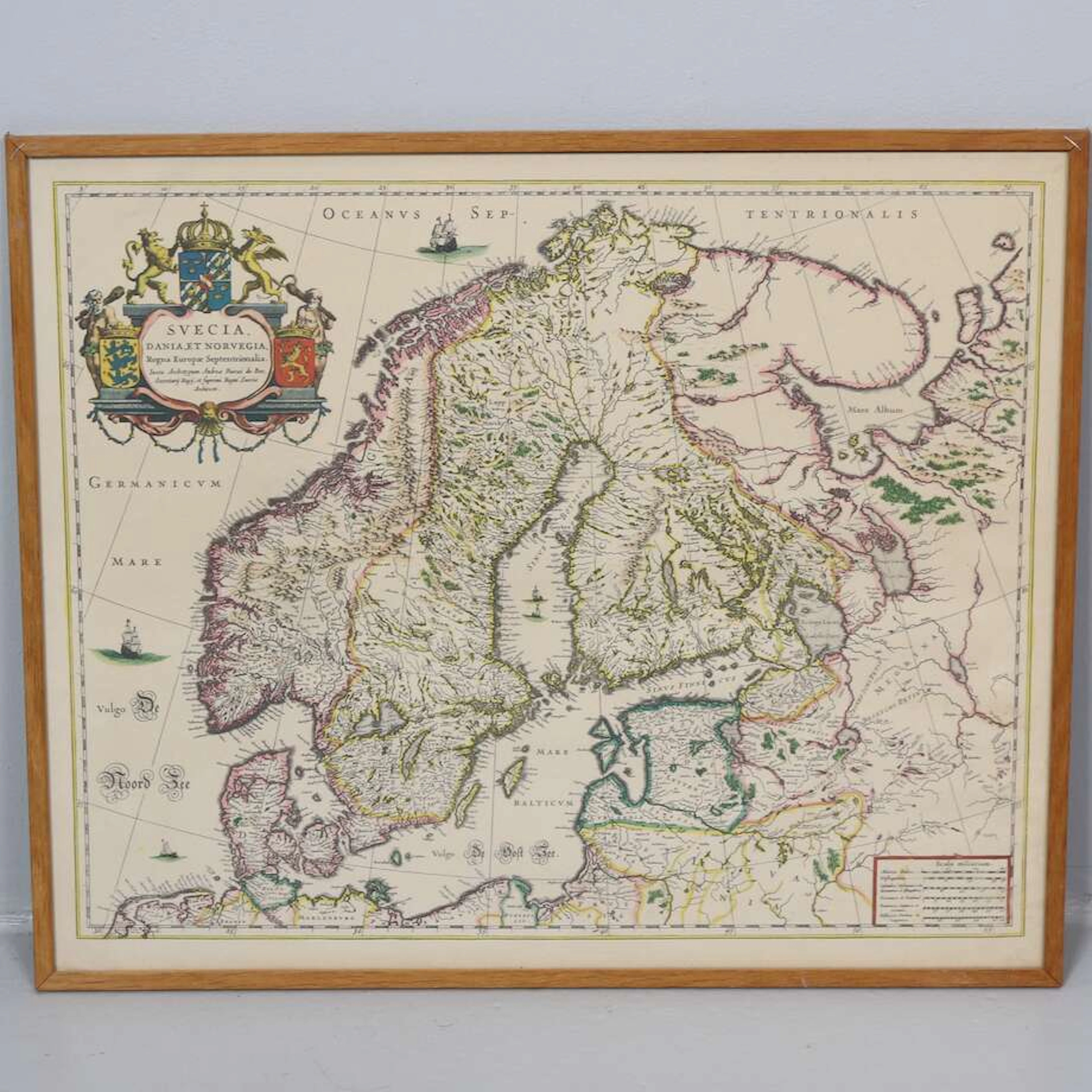



Alla auktioner / Böcker, Kartor och Texter / France - Mediterranean South Coast France and portion...

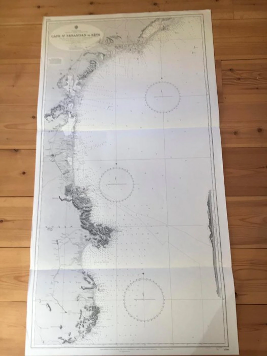
A Collection of 5 in number British Admiralty Charts - Mediterranean - France South Coast (& a portion East Spain). From the French Government Charts of 1893 and 1894, published by the British Admiralty under the Superintendance of their Hydrographers. 1/. Cape St. Sebastian (Spain) to Sete (France) Chart No. 1804 - Size:- 71 cm. x 132 cm. 2/. Sete to Marseilles. Chart No. 1805 - Size:- 71 cm. x 104 cm. 3/. Marseilles to Agay Road. Chart No. 2607 - Size;- 71 cm. x 104 cm. 4/. Approaches to Toulon. Chart No. 2608 - Size:- 71 cm. x 103 cm. 5/. Port and Roadstead Port Vendres. Chart No. 1506 - Size 71 cm. x 53 cm. Each chart shows clear well engraved coastal landfall silhouettes These were working navigational Charts which have been used at sea. The condition is considered good, with some traces of wear outside the boundary of map image, probably from moving in the chart table stowage when in a seaway. Some historic pencil markings may still exist upon them. Verso side of charts is marked with Chart title, Chart No. &Folio numbering.
Utropspris:SEK 1,669.22
Till auktionenVisa alla föremål frånCatawikiellerBöcker, Kartor och Texter
Utropspris:
SEK 1,669.22

MILITARIA. GENERALSTABENS BERÄTTELSE OM FÄLTTJENSTÖFNINGARNA I DALARNE
10/17/2026
SEK 300
Uppsk.: SEK 350

Plakat, Musee Galliera, '' Salon Des Tuileries.
10/17/2026
SEK 556.4
Uppsk.: SEK 891.09
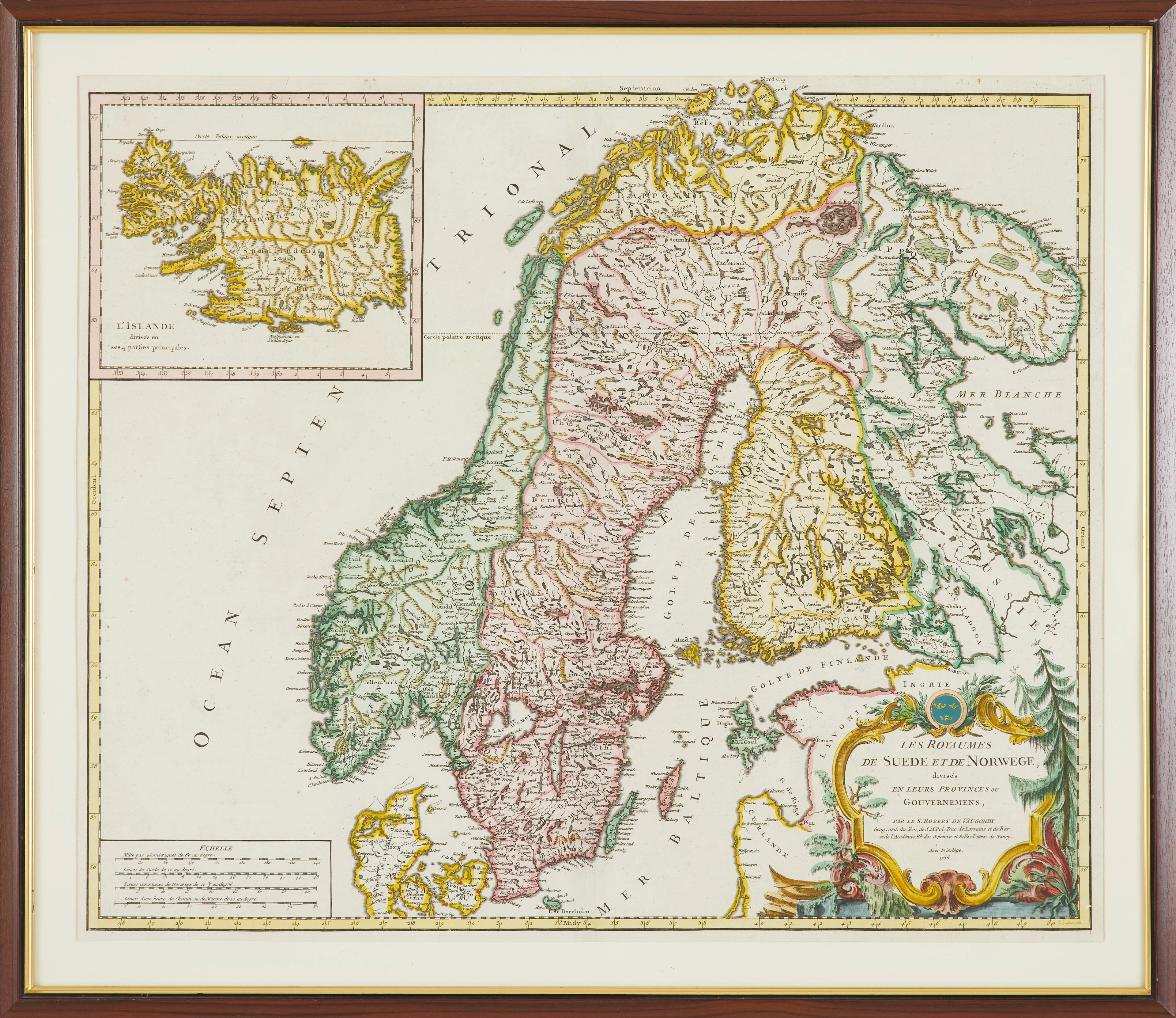
KARTA, " Les Royaumes De Sued Et De Norwege" av Gilles Robert De Vaugondy
10/17/2026
SEK 1,000
Uppsk.: SEK 2,000
Nå samlare över hela världen med din auktion!
Lista er auktionGenom att prenumerera godkänner du integritetspolicyn. Avprenumerera när som helst.
Barnebys HQ
Brahegatan 10
BOX 5038
114 37 Stockholm
