
Alla auktioner / Böcker, Kartor och Texter / Germany - Southern Bavaria

Germany - Southern Bavaria
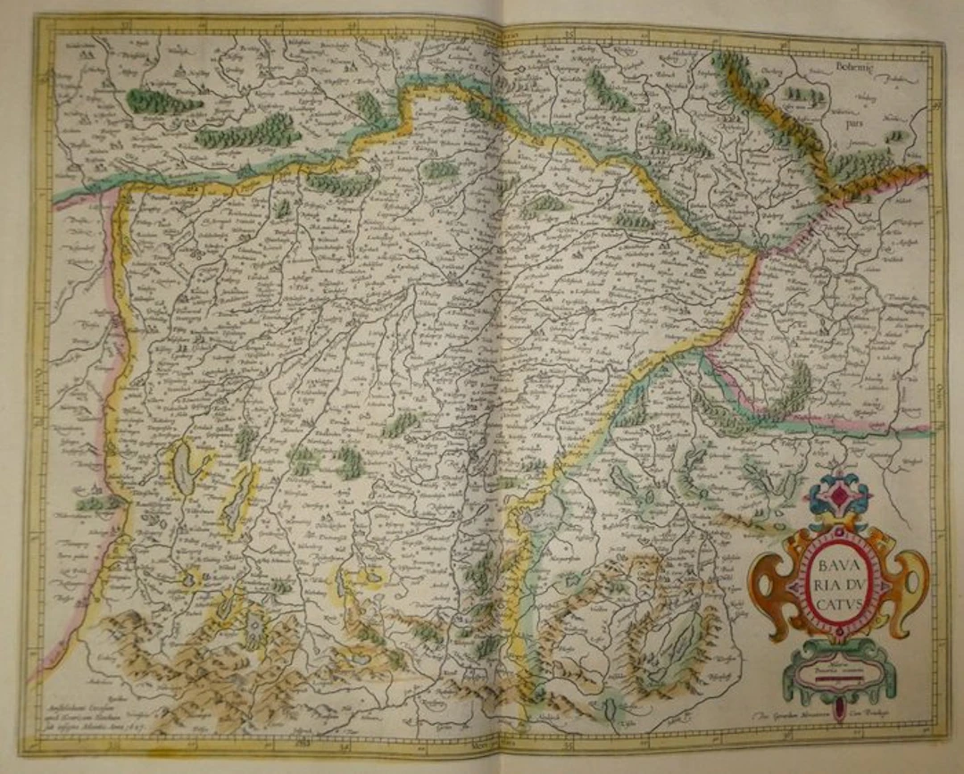
Old copperplate map of Bavaria hand-tinted, engraved on copper by Mercator, published in 1633 in the Mercator-Hondius atlas. It shows a large title cartouche with scrollwork, colored red, pink, orange and blue. A second cartouche provides the scale in Bavarian miles. The Danube, from Regensburg to Passau, runs across the top of the map, and the Alps, drawn in perspective, occupy the bottom. Munich, Ingolstadt, Landshut, Passau, Salzburg and Innsbruck are depicted by vignettes. The rivers, the lakes (Ammersee, Chiemsee, Tegernsee) and the wooded mountain masses are detailed. The Amsterdam address of Henricus Hondius, dated 1627, appears at the bottom left. The French text is on the verso (pp. 485 and 488). - Dimensions: on sheet: 56 x 47.5 cm; on plate (map): 46.9 x 35.3 cm - Condition: Good overall for a map of this period. Presence of a central vertical crease, two holes in the upper margin, and light stains. See photos for more details. Atlas Mercator-Hondius - The atlas called “Mercator-Hondius” continues the work of Gerard Mercator, whose copper plates were bought back by Jodocus Hondius in 1604. This French edition of 1633 is signed by his son Henricus Hondius and his son-in-law Joannes Janssonius, who added new maps. Gerard Mercator – Gerard Mercator (Rupelmonde, 1512 – Duisburg, 1594) was a Flemish cartographer. He created a terrestrial globe in 1541 and a celestial globe in 1551, and in 1569 introduced the projection that bears his name. His atlas appeared posthumously in 1595, under the care of his son Rumold. The plates were reused in 1604 by Jodocus Hondius, then by his heirs. The atlas was subsequently reissued in several languages, including French, by Henricus Hondius.
Utropspris:SEK 1,676.66
Till auktionenVisa alla föremål frånCatawikiellerBöcker, Kartor och Texter
Utropspris:
SEK 1,676.66
Liknande föremål





Auktionsresultat för liknande föremål
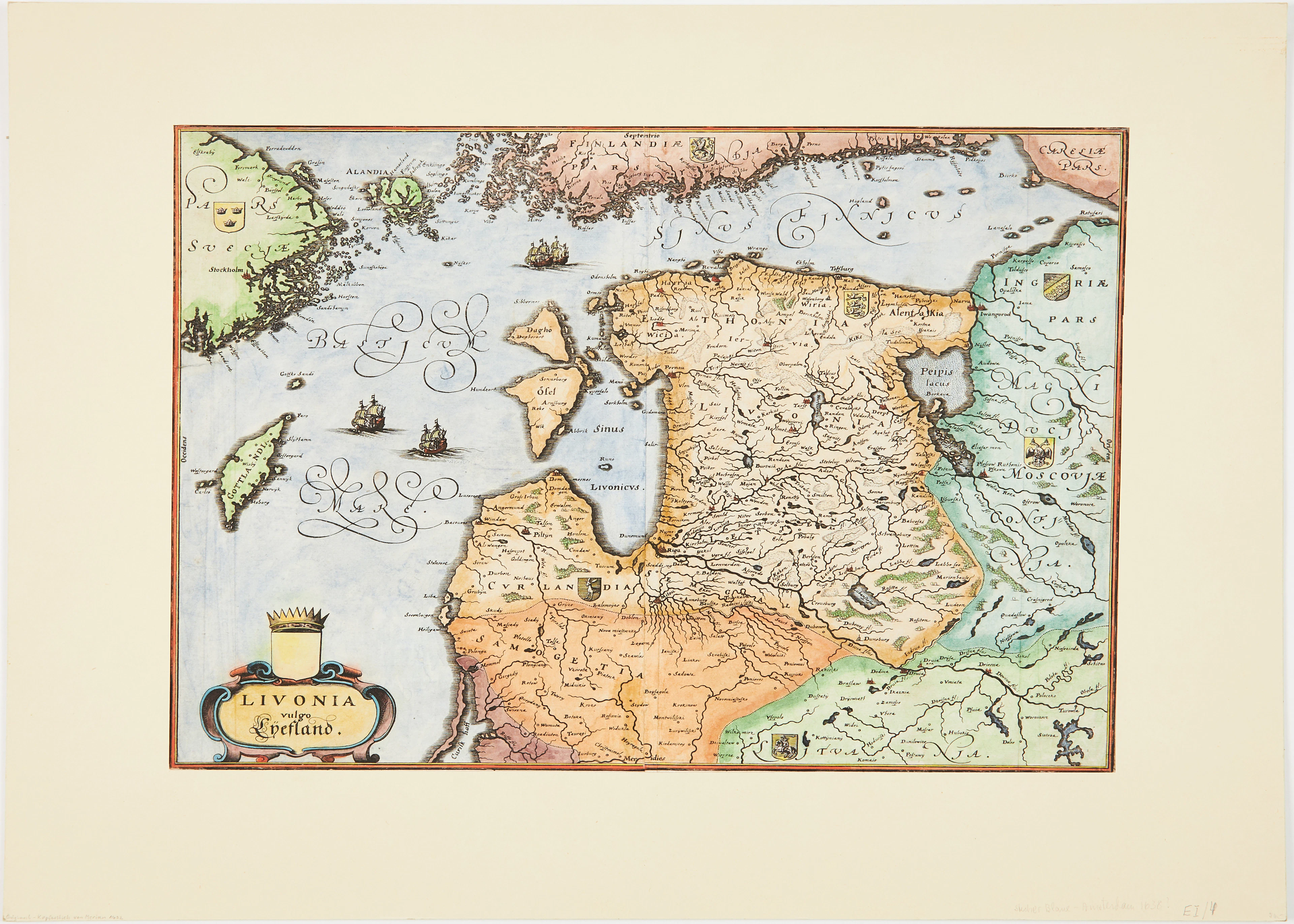
MERIANS KARTA ÖVER BALTIKUM, ca 1640.
10/07/2026
SEK 1,006
Uppsk.: SEK 1,500
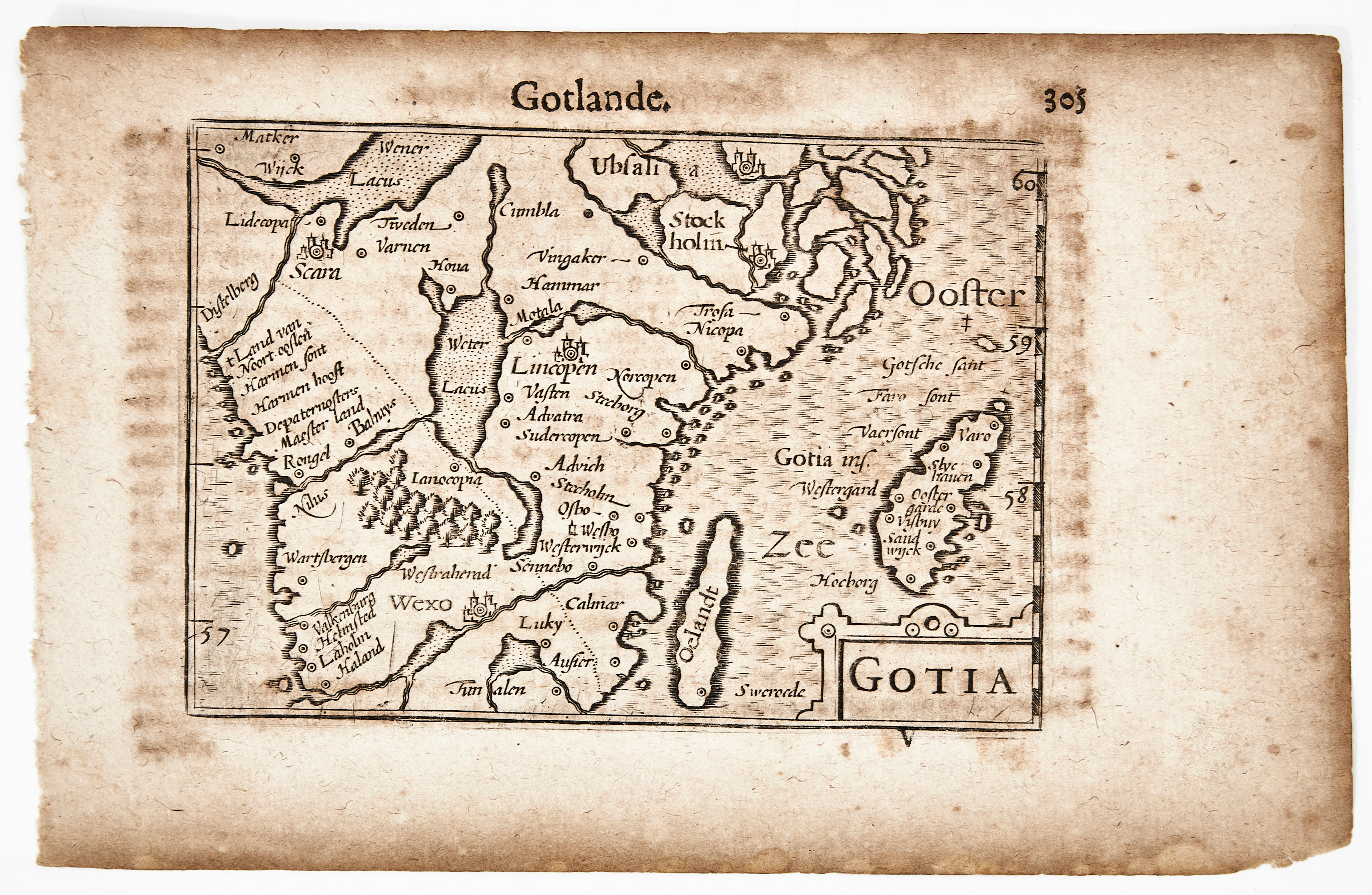
BERTIUS KARTA ÖVER GÖTALAND, Gotia, ca 1670.
10/07/2026
SEK 1,010
Uppsk.: SEK 1,200
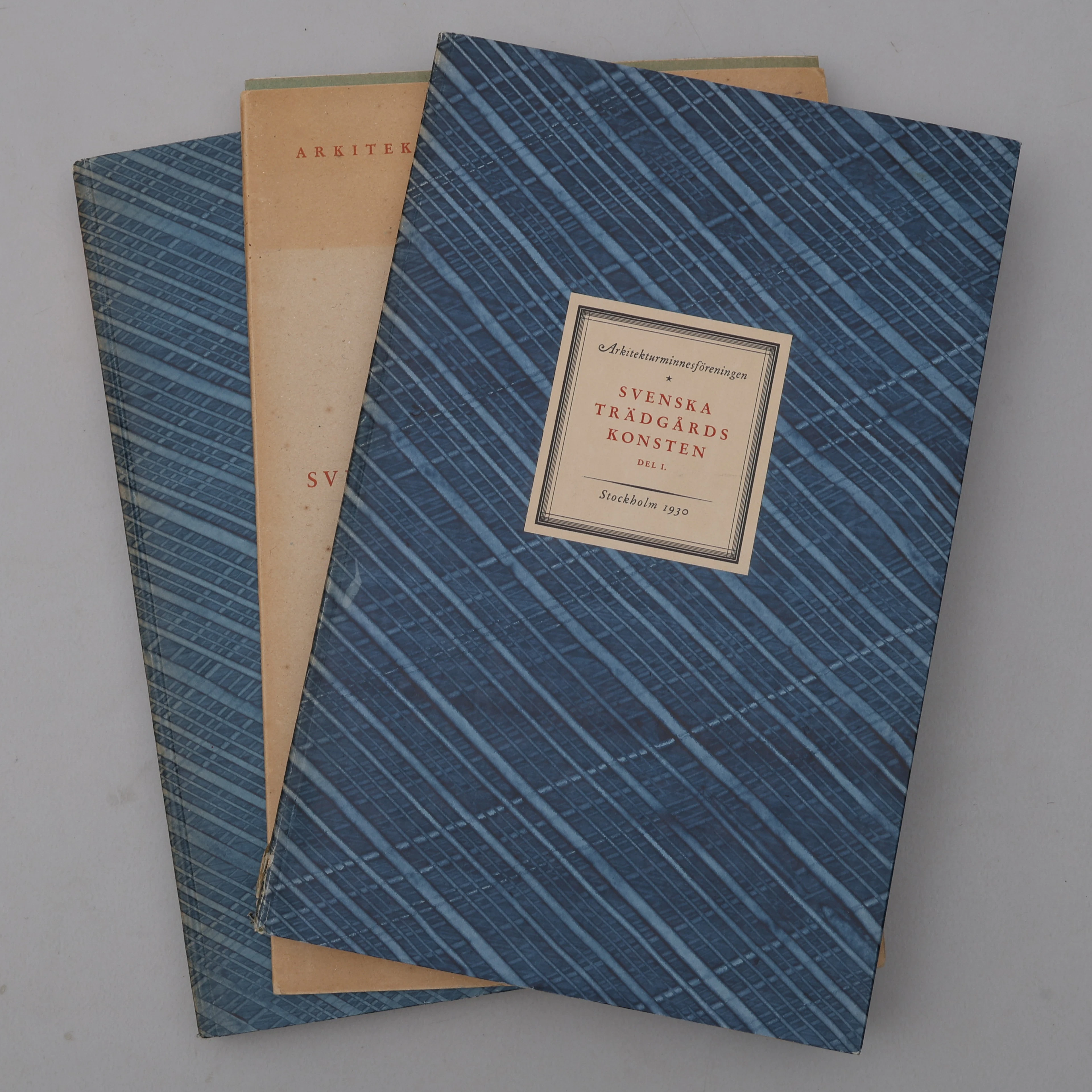
BIBLIOFILI/TRÄDGÅRD. SVENSKA TRÄDGÅRDSKONSTEN SÅDAN DEN TILL VÅRA
10/07/2026
SEK 1,100
Uppsk.: SEK 3,000
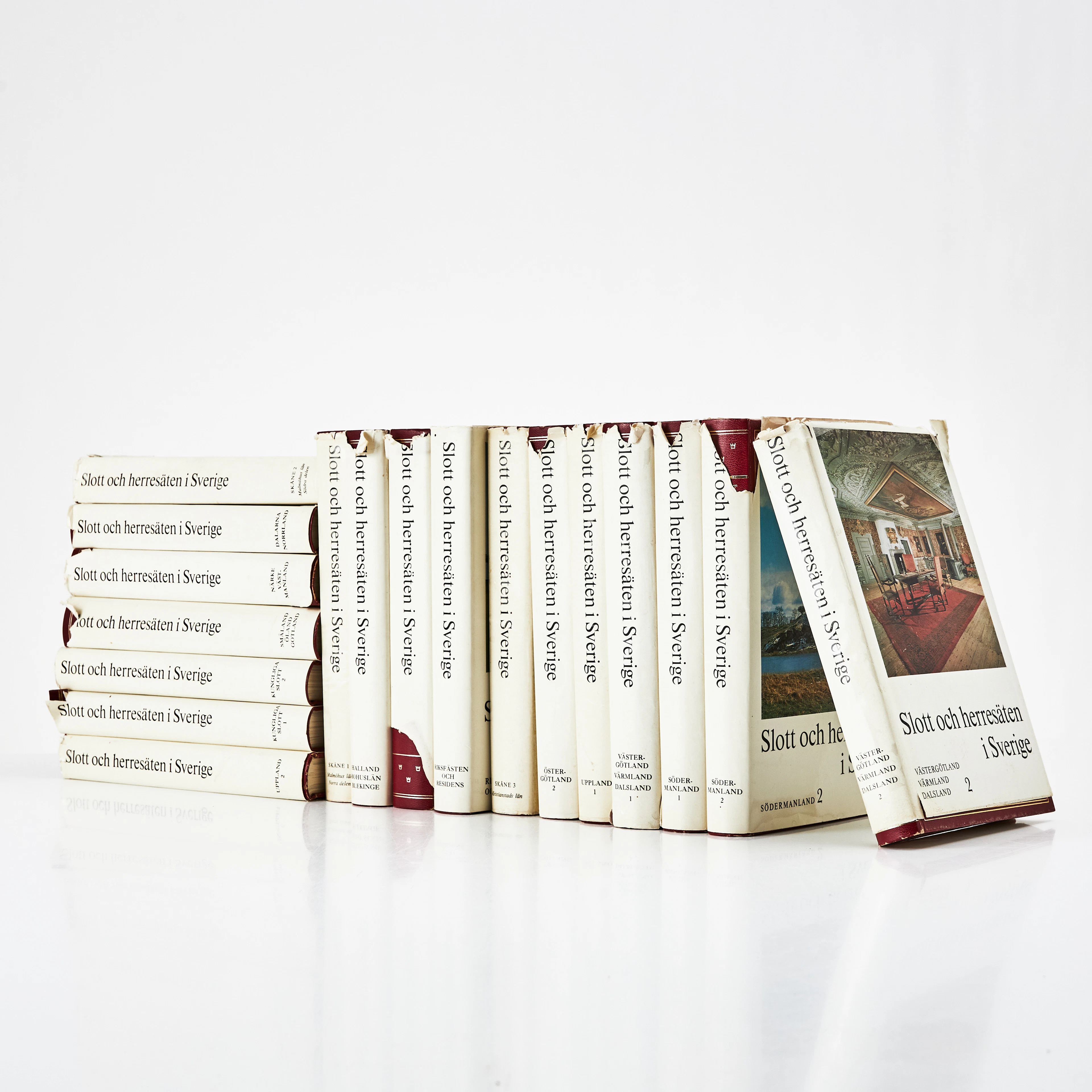
SLOTT OCH HERRESÄTEN I SVERIGE, 18 VOLYMER, Malmö, 1966-71.
10/07/2026
SEK 800
Uppsk.: SEK 1,500
Nå samlare över hela världen med din auktion!
Lista er auktion