
Alla auktioner / Böcker, Kartor och Texter / Greece - Grecian Archipelago; British Admiralty - Sea chart - 1848 - 1996

Greece - Grecian Archipelago; British Admiralty - Sea chart - 1848 - 1996
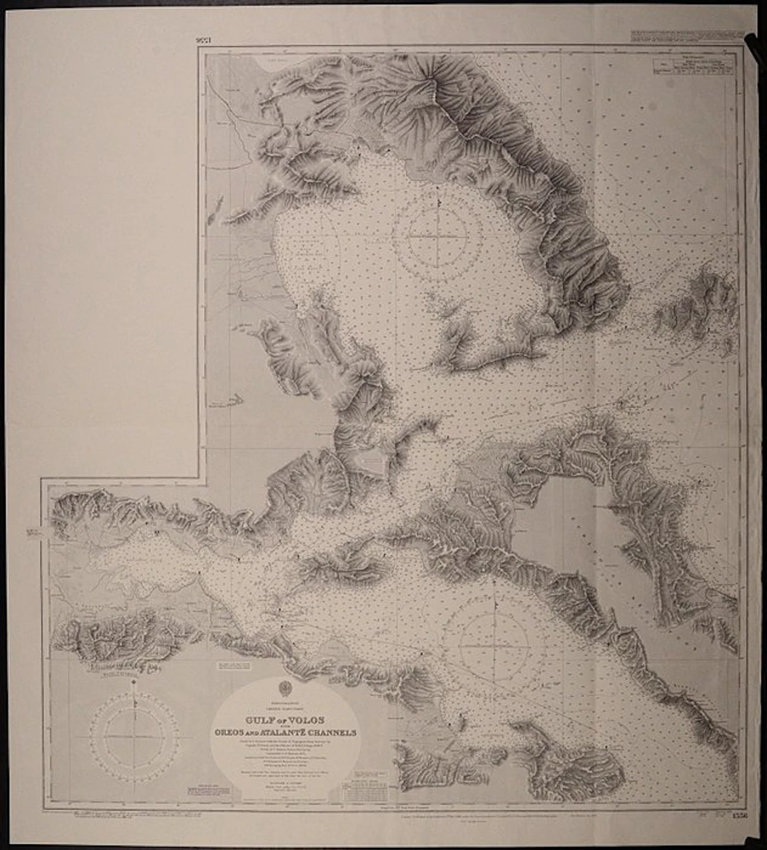
10 interesting sea charts in folio of the British Admiralty of the Greece Archipelago These unused charts are mostly very detailed and published in the 20th century Condition: good and suitable for framing. 207 Kastro Tornese to Venetico, published in 1867, 1rst edition, unused, with land views 872 Kalimno to Rhodes, published in 1896, 1rst edition, unused, large chart 1521 Maliakos Kolpos & Dhiavlos Oreon, published in 1932, 1rst edition, large chart, unused 1546 Samos Strait to Gulluk Korfezi, published in 1898, 2nd edition, unused 1554 Talanta Channel, published in 1857, 3rd edition 1556 Gulf of Volos, published in 1890, 2nd edition 1557 Port Argostoli, published in 1896, 1rst edition, unused, land views 1597 Petali Gulf, published in 1857, 2nd edition, unused 1620 Meganisi Channel and Port Vliko, published in 1866, 1rst edition, unused, land views 1898 Islands of Kos, Niseros & Piskopi, published in 1848, 2nd edition, unused
Utropspris:SEK 1,674.14
Till auktionenVisa alla föremål frånCatawikiellerBöcker, Kartor och Texter
Utropspris:
SEK 1,674.14
Liknande föremål





Slutpriser för liknande föremål
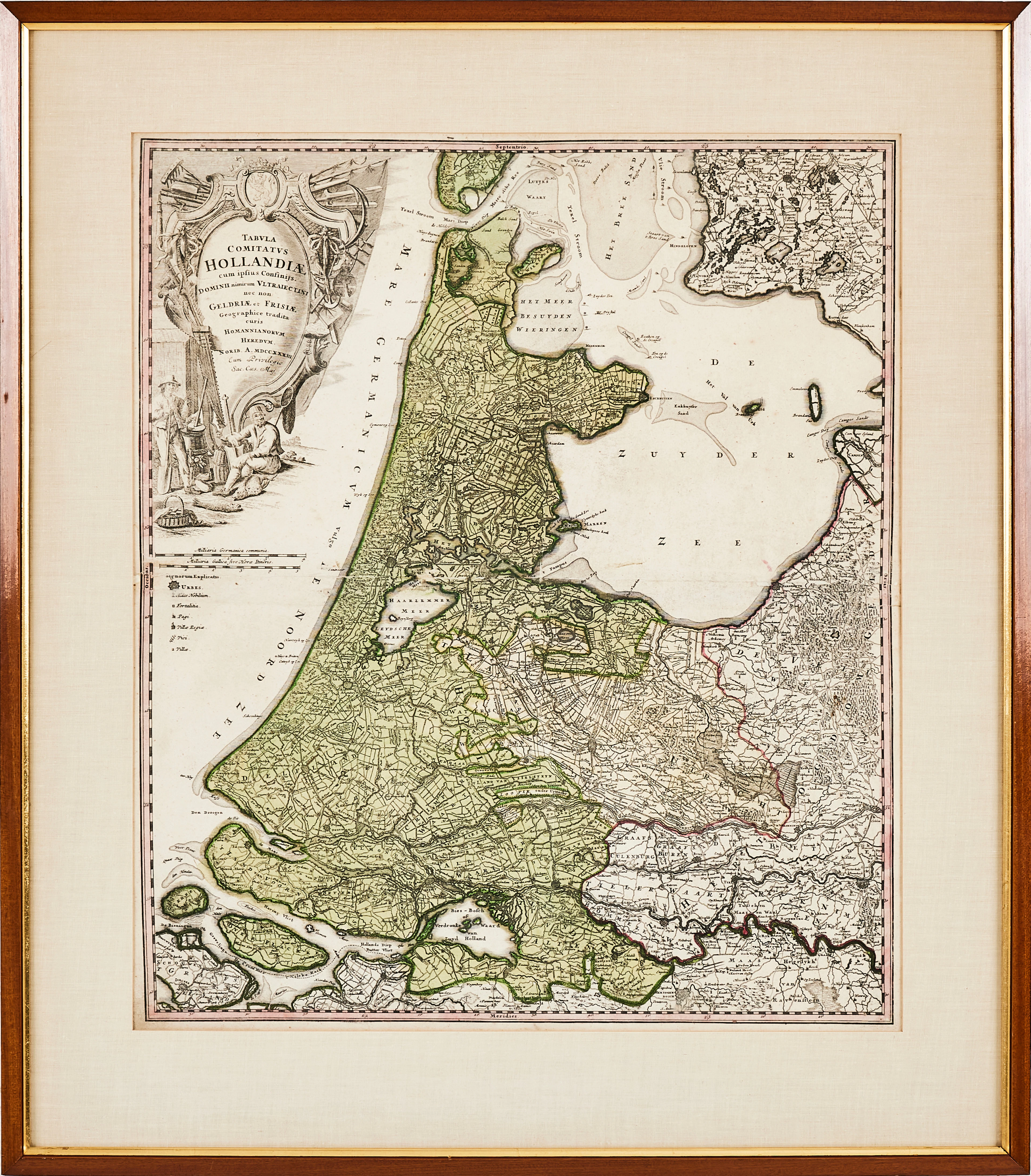
HOMANN, karta över Holland, 1788, "Tabula comitatus Hollandiae" kolorerat
10/12/2026
SEK 1,000
Uppsk.: SEK 2,000


SELMA LAGERLÖF. "Nils Holgerssons underbara resa genom Sverige", första
10/12/2026
SEK 900
Uppsk.: SEK 1,000

Nå samlare över hela världen med din auktion!
Lista er auktion