
Alla auktioner / Böcker, Kartor och Texter / ISLAND OF SAINT HELENA. 18th-century map: “View of the harbo - Lot 343

ISLAND OF SAINT HELENA. 18th-century map: “View of the harbo - Lot 343
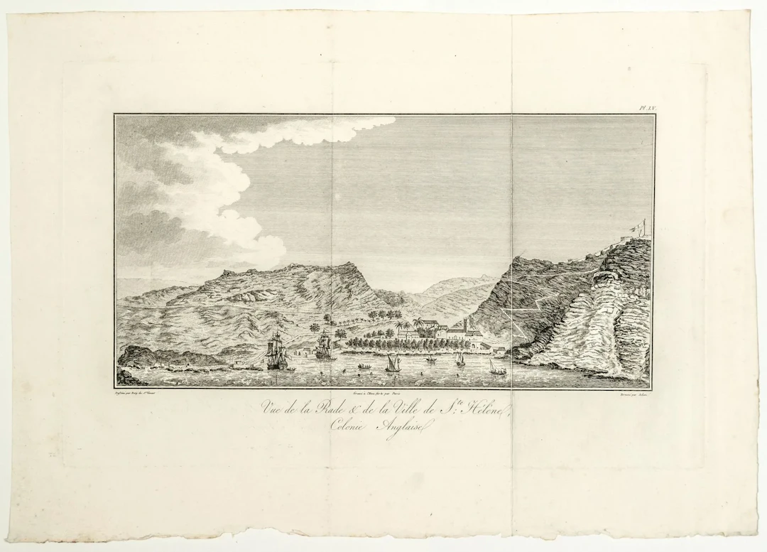
ISLAND OF SAINT HELENA. 18th-century map: “View of the harbor and the town of Saint Helena, British Colony. ” Drawn by Jean Baptiste BORY of SAINT VINCENT. Etched by PARIS, finished by ADAM. (c. 1804)
Utropspris:SEK 1,132.69
Till auktionenVisa alla föremål frånVermot & AssociésellerBöcker, Kartor och Texter
Utropspris:
SEK 1,132.69
Liknande föremål



![DU BELLAY (Joachim). [A collection of twelve plays]. Paris, - Lot 45](https://bbys.imgix.net/337/91b85ab8c177aa1f8c1b078805b5d6dbb1827cc9094402de7e7ca304ee563f62.webp?auto=format&w=3840&q=75)

Slutpriser för liknande föremål
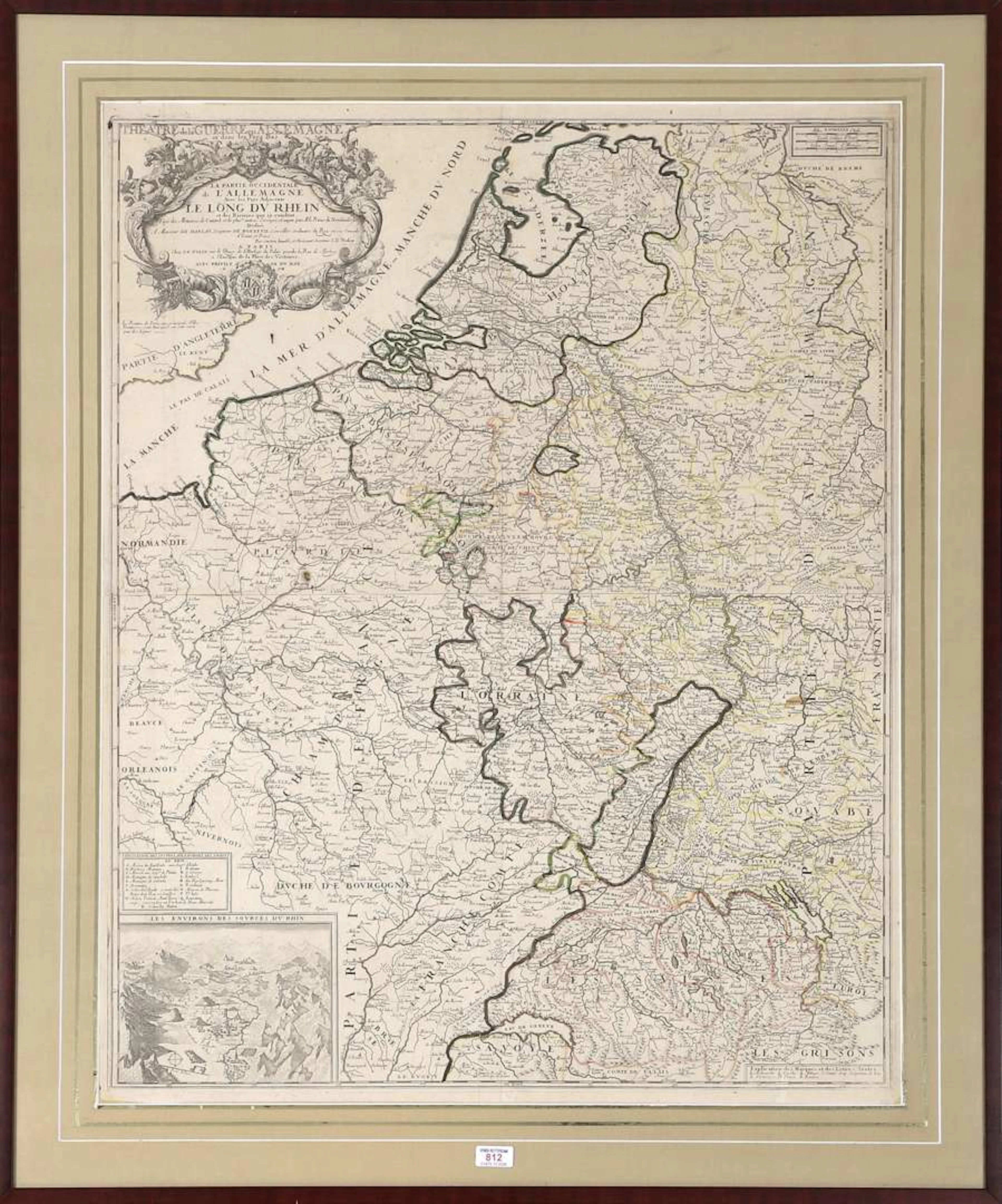
A map of the Rhine region, by Jean-Baptiste Nolin (1657–1708), 17th century
10/08/2026

SEK 1,008.31
Uppsk.: SEK 1,133.74

Les Mystères du confessionnal — Éric Losfeld, 1968 - Lot 165
10/04/2026

SEK 56.3
Uppsk.: SEK 169.56
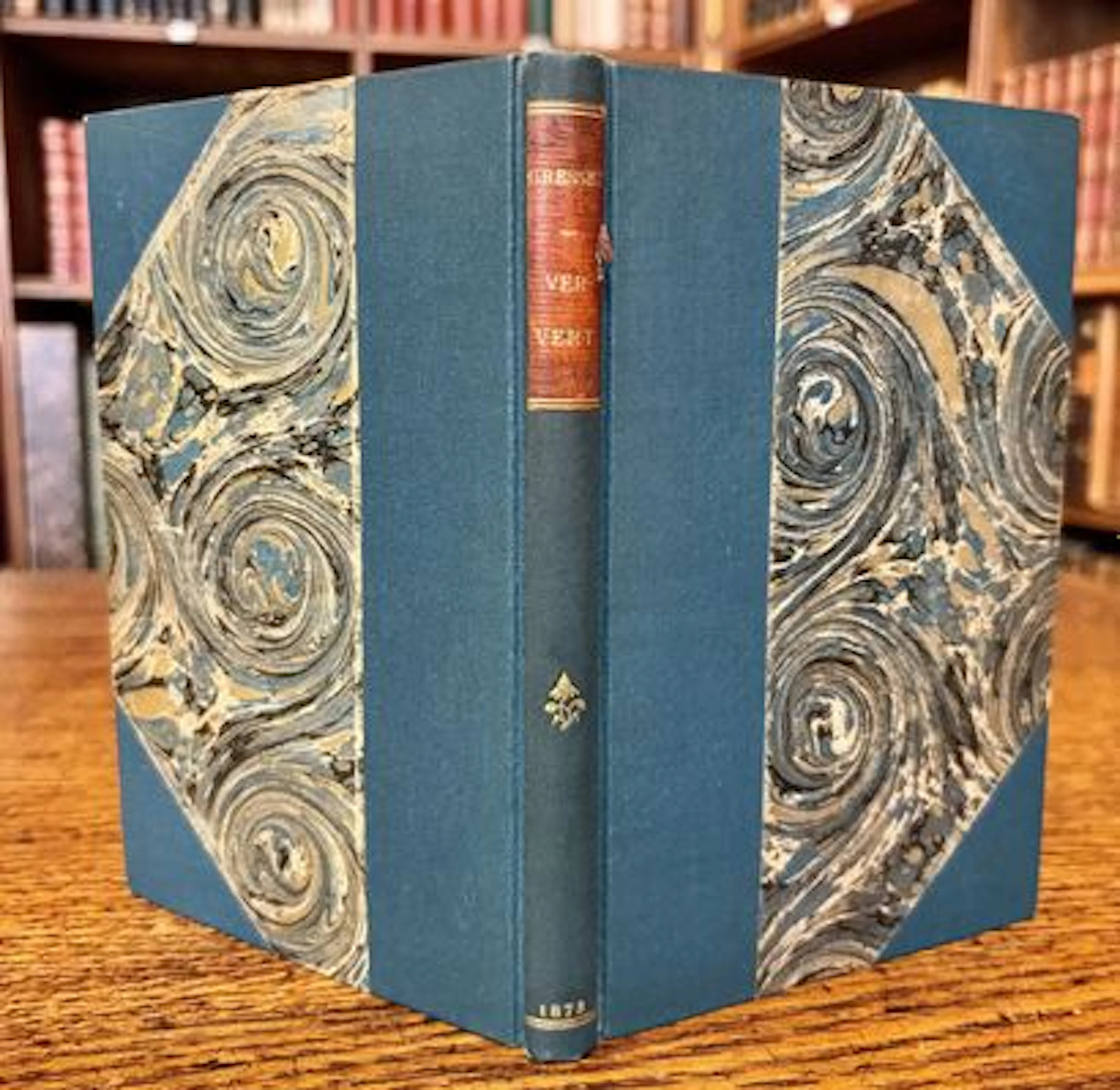
GRESSET (Jean-Baptiste-Louis) — Ver-Vert. Le Carême in-promp - Lot 124
10/04/2026
SEK 56.3
Uppsk.: SEK 1,130.45

MOLIÈRE (Jean-Baptiste Poquelin de) — BEUVILLE (Georges). *L - Lot 208
10/04/2026
SEK 78.82
Uppsk.: SEK 565.22
Nå samlare över hela världen med din auktion!
Lista er auktion