
Alla auktioner / Böcker, Kartor och Texter / Italy - Emilia-Romagna

Italy - Emilia-Romagna
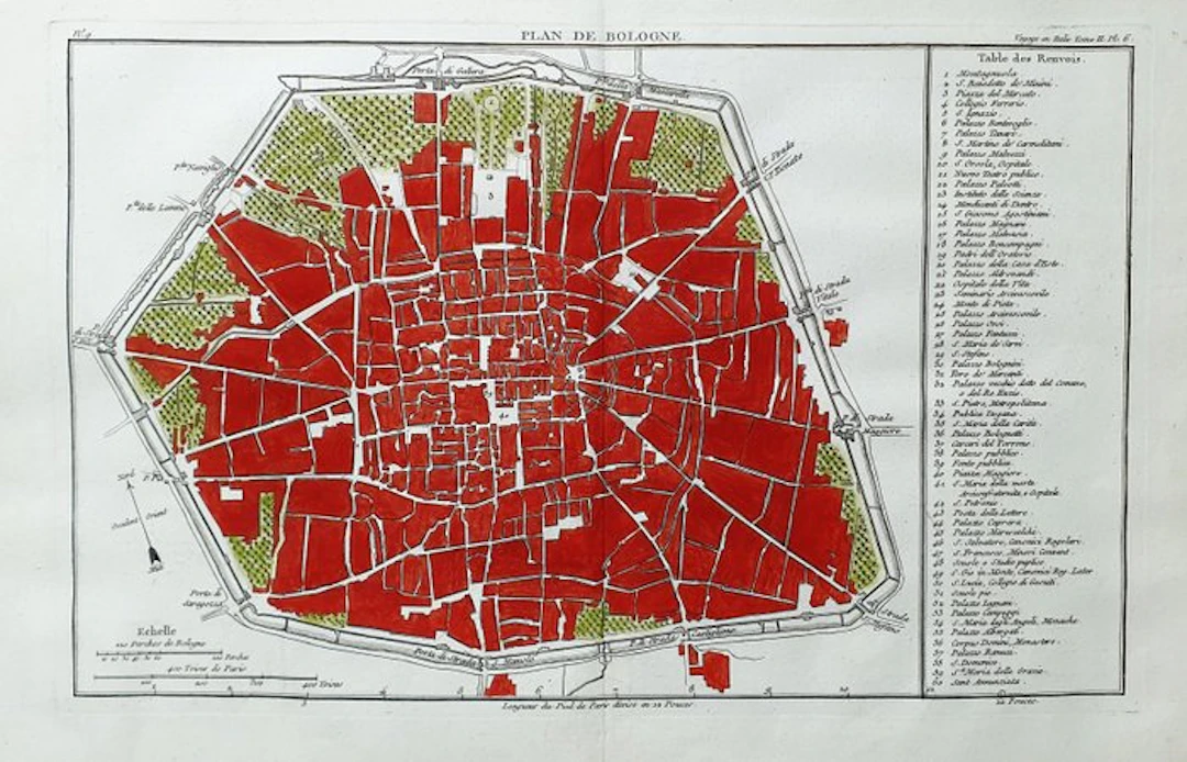
This Geographical Map is an original copper engraving from about 1768. This is a beautiful and decorative map by J.J. DE LALANDE, published in PARIS (PARIGI...) in 1768 in the edition, with the name: "Atlas du Voyage en Italie, fait dans les annees 1765 et 1766". Beautiful copper engraving, excellently preserved, splendid map rich in geographical details and much more. - Condition: the condition is more than good, excellent in all respects, as shown in the photo. - The map is very rare and perfect in every point, and very difficult to find in these conditions, and with this watercolor wash. The overall measurements of this map are: 44 cm X 29
Utropspris:SEK 235.27
Till auktionenVisa alla föremål frånCatawikiellerBöcker, Kartor och Texter
Utropspris:
SEK 235.27
Liknande föremål





Auktionsresultat för liknande föremål
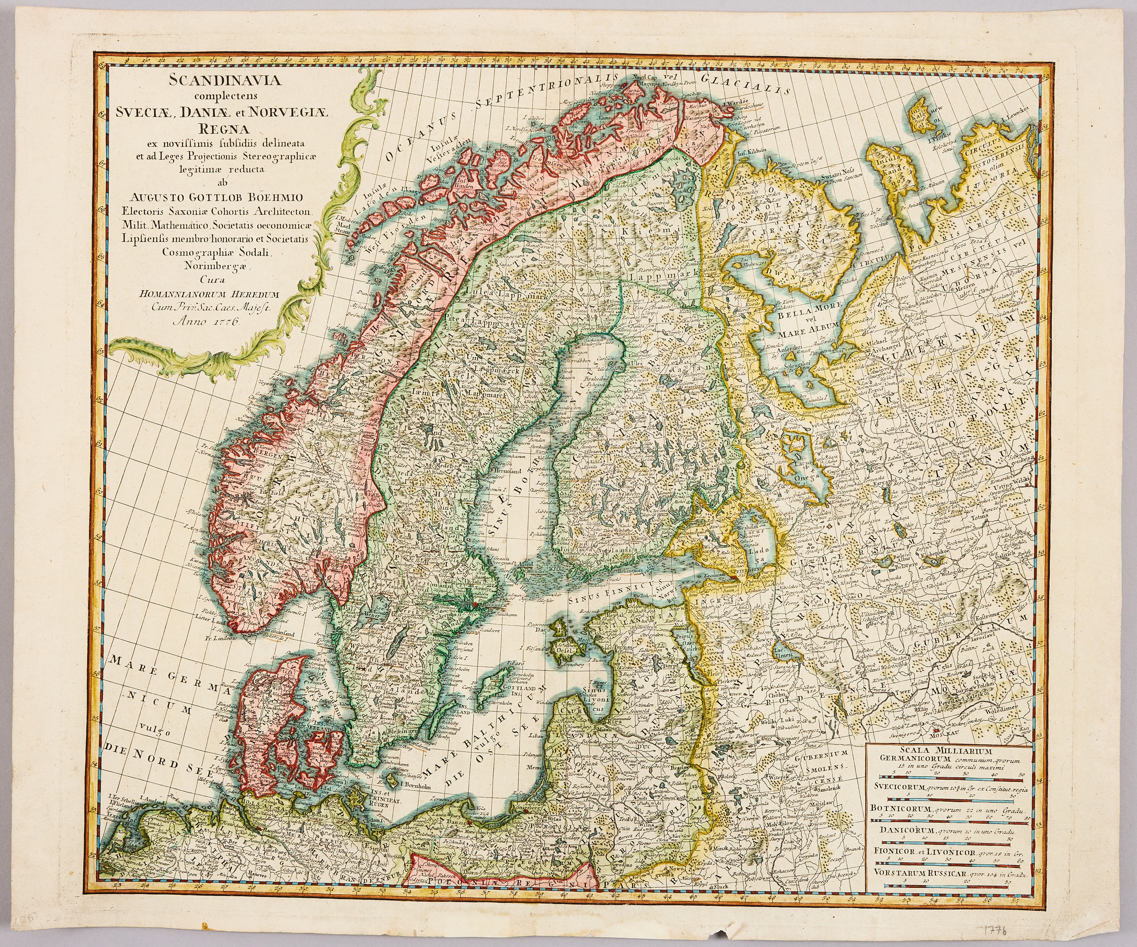
HOMANNS ARVINGAR, KARTA ÖVER SKANDINAVIEN, ca 1770.
10/09/2026
SEK 1,101
Uppsk.: SEK 1,200


SERIETIDNINGAR, 57 st Fantomen, år 1950-56.
10/09/2026
SEK 1,400
Uppsk.: SEK 800
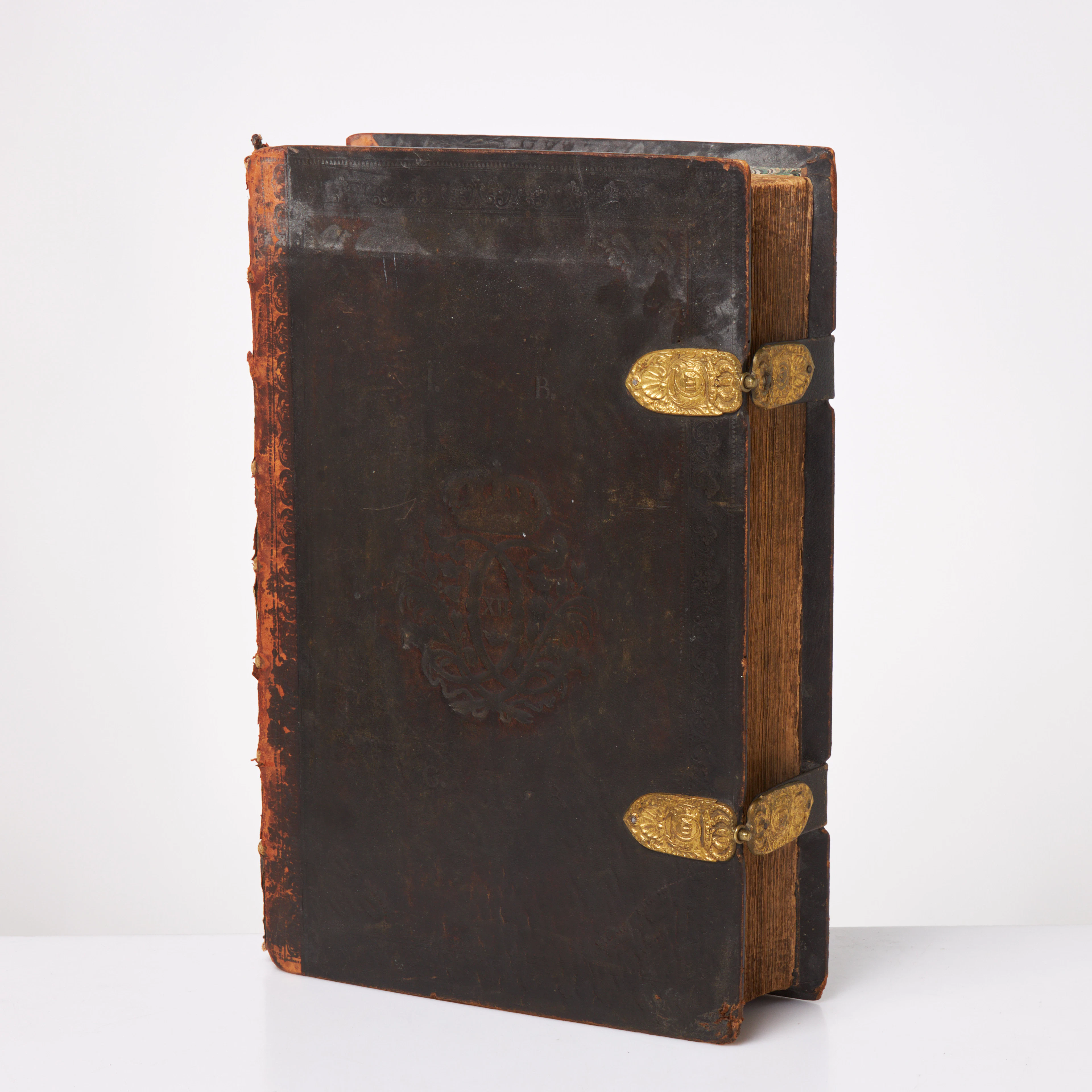
KARL XII:S BIBEL. 1703, samtida band.
10/09/2026
SEK 6,500
Uppsk.: SEK 6,000
Nå samlare över hela världen med din auktion!
Lista er auktion