
Alla auktioner / Böcker, Kartor och Texter / Italy - Sardinia

Italy - Sardinia
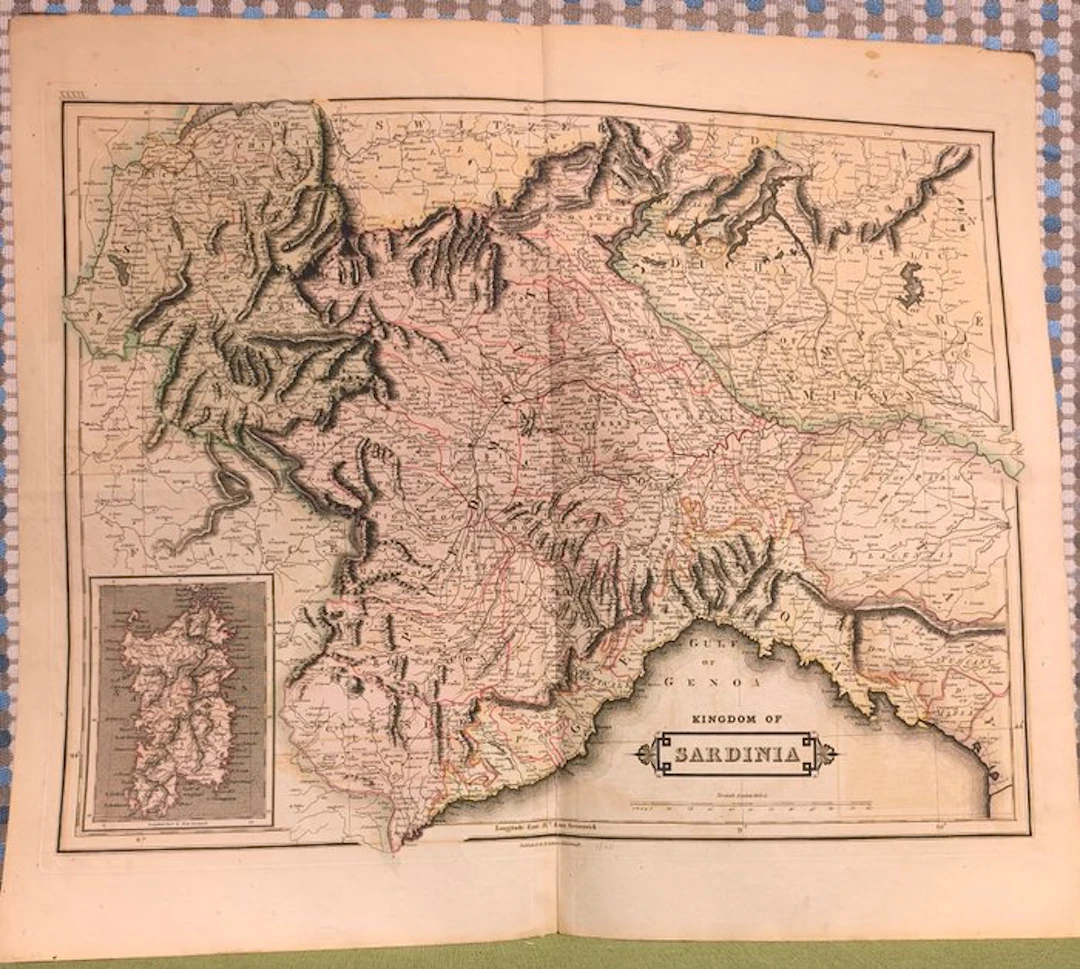
This is a historical map of the Kingdom of Sardinia, focused mainly on its continental part (Piedmont, Savoy, the County of Nice and Liguria), with a lower-left inset devoted to the island of Sardinia. The map dates from the 19th century (probably around the middle of the century, before Italian unification) and is written in English, as can be seen from the title “Kingdom of Sardinia” and indications such as “Gulf of Genoa.” This type of period cartography shows in detail the complex topography of the territory (the Alps and the Apennines are strongly emphasized with chiaroscuro) and the dense network of roads, rivers, and settlements of the pre-unitarian period. Map by Daniel Lizars, taken from the Edinburgh Geographical and Historical Atlas, published in 1828 by John Hamilton, successor to Daniel Lizars, at 15 South St. Andrew Street, Edinburgh. This map, printed on thick high-quality paper, is decorated with contemporary hand coloring and represents a significant example of 19th-century cartography. Printed only on one side, it offers an accurate geographical representation, combining precision and aesthetic refinement. Era: 19th century (1828) Technique: Copper engraving with contemporary coloring Dimensions: Large (54x46 cm) Support: Thick good-quality paper Condition: Excellent We do not ship to the United States.
Utropspris:SEK 67.73
Till auktionenVisa alla föremål frånCatawikiellerBöcker, Kartor och Texter
Utropspris:
SEK 67.73
Liknande föremål





Auktionsresultat för liknande föremål
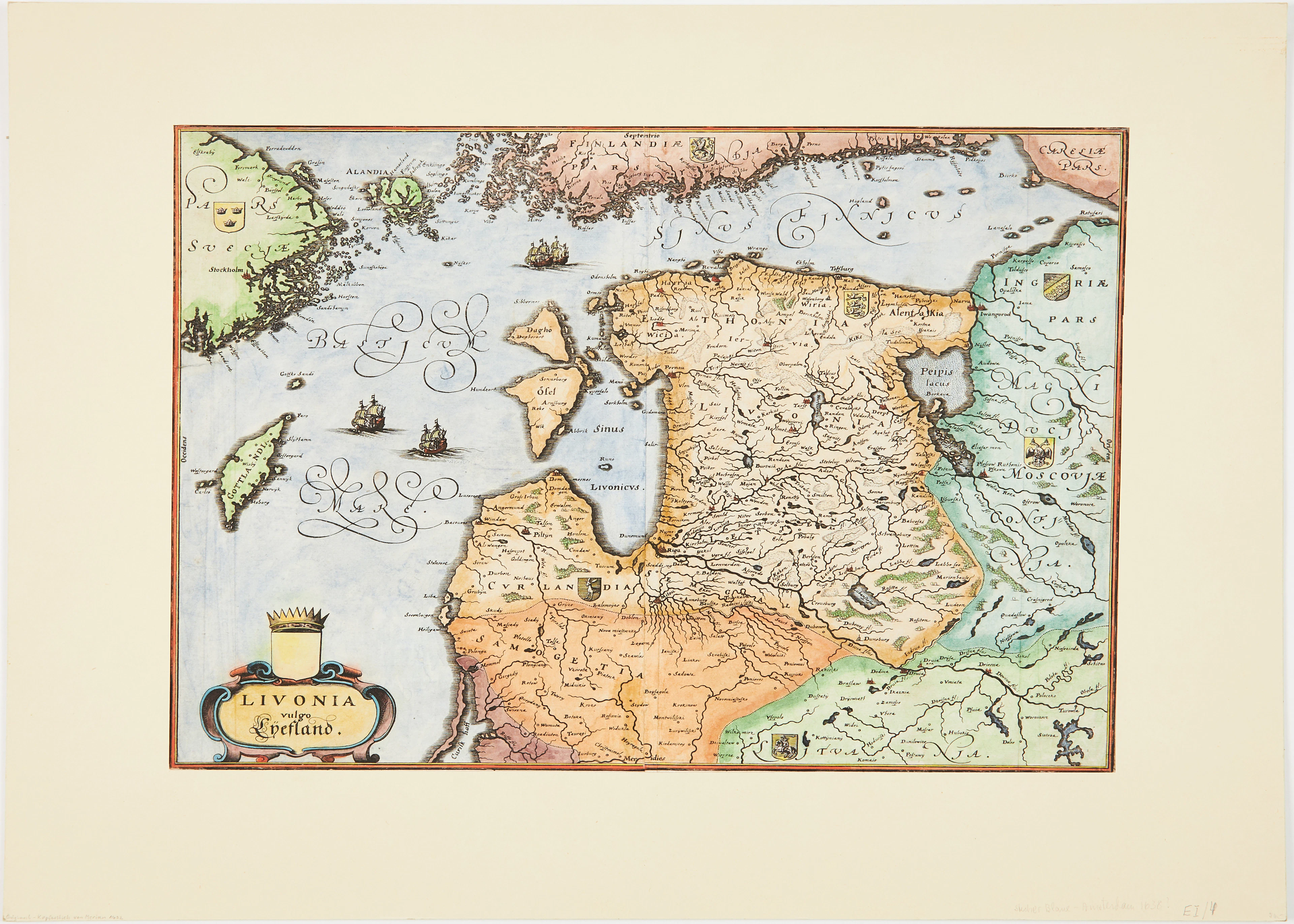
MERIANS KARTA ÖVER BALTIKUM, ca 1640.
10/07/2026
SEK 1,006
Uppsk.: SEK 1,500
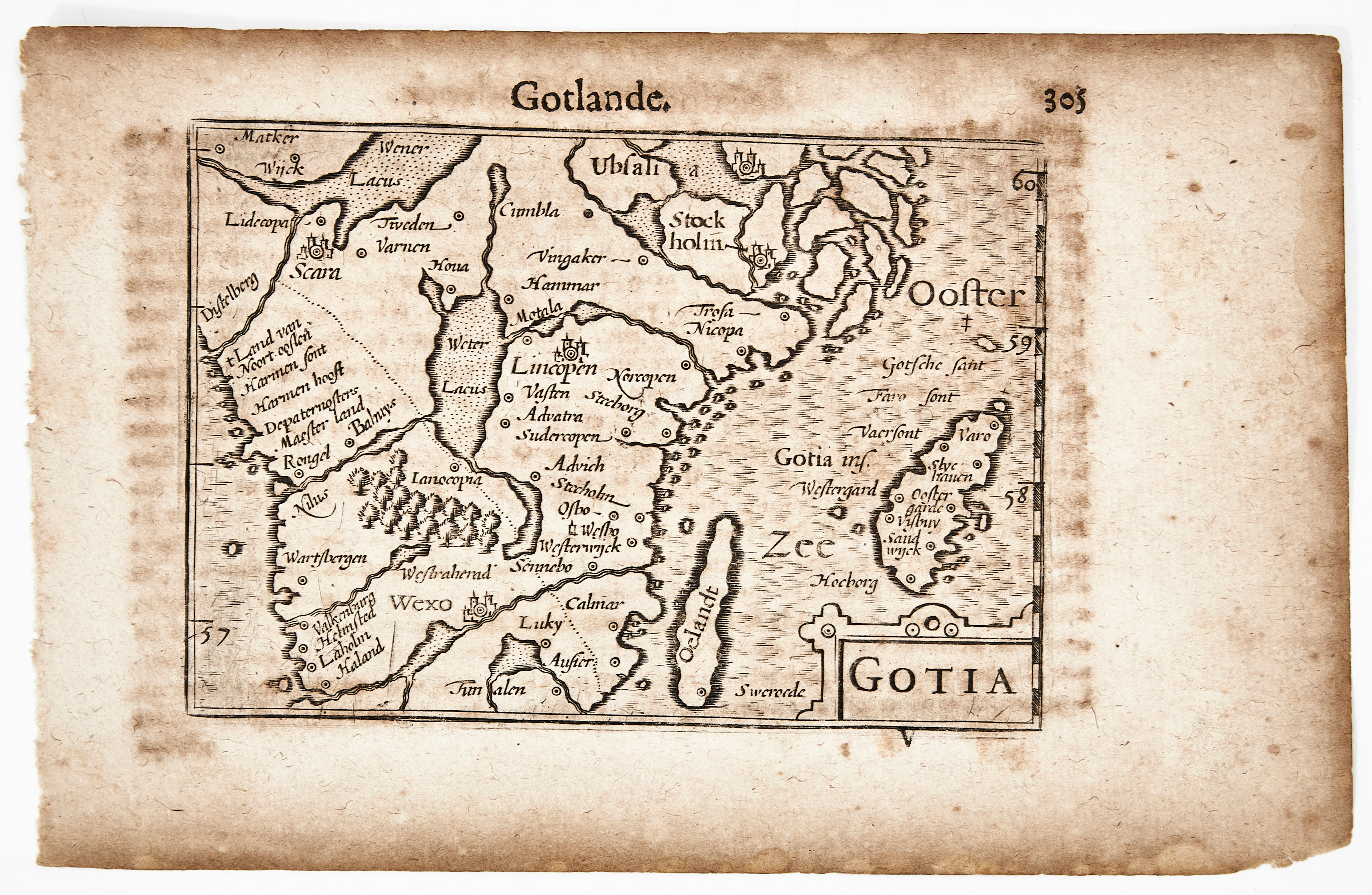
BERTIUS KARTA ÖVER GÖTALAND, Gotia, ca 1670.
10/07/2026
SEK 1,010
Uppsk.: SEK 1,200
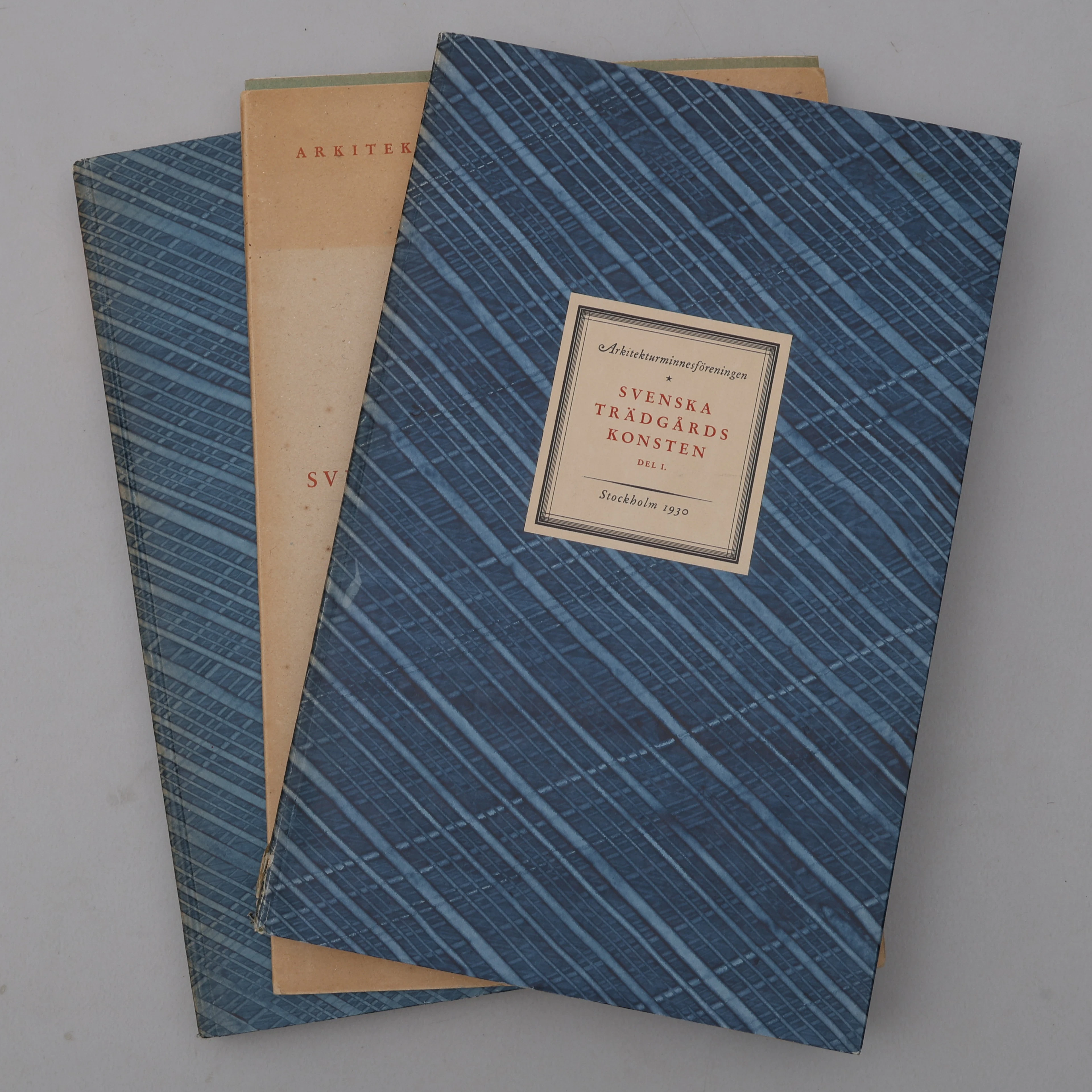
BIBLIOFILI/TRÄDGÅRD. SVENSKA TRÄDGÅRDSKONSTEN SÅDAN DEN TILL VÅRA
10/07/2026
SEK 1,100
Uppsk.: SEK 3,000
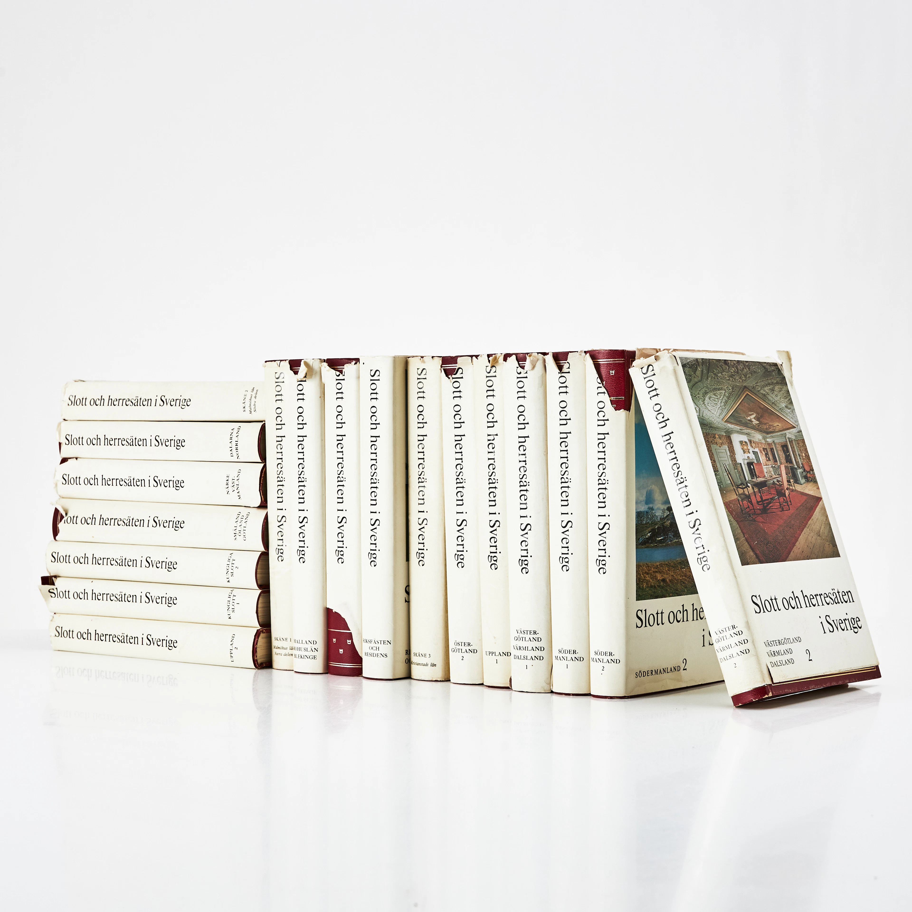
SLOTT OCH HERRESÄTEN I SVERIGE, 18 VOLYMER, Malmö, 1966-71.
10/07/2026
SEK 800
Uppsk.: SEK 1,500
Nå samlare över hela världen med din auktion!
Lista er auktion