
Alla auktioner / Böcker, Kartor och Texter / Jules Verne - Géographie illustrée de la France - 1880

Jules Verne - Géographie illustrée de la France - 1880
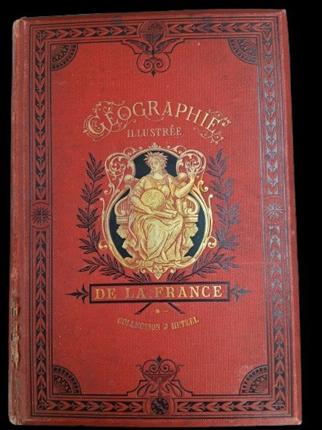
Illustrated Geography of France - Jules Verne Preceded by a study on the general geography of France. By Théophile Lavallée. New edition entirely revised, with texts and maps, and providing the comparative state of Alsace-Lorraine before and since 1870. An absolutely inédit work by Mr. Dubail, Assistant Professor of Geography at the École de Saint-Cyr. Illustrations by Clerget and Riou. Maps by Constant, engraved by Sedille. Paris, Bibliothèque d’Éducation J. Hetzel – undated (1880) – 775 pages. Hetzel binding, monochrome red. Gilt title on a red background with a black border, second cover with a black border. Half-title: “Edition entièrement revue et remise au courant.” Fore-edge split at the bottom of the spine. Headbands and corners in good condition. Very good condition of the binding — lingot binding.
Utropspris:SEK 22.4
Till auktionenVisa alla föremål frånCatawikiellerBöcker, Kartor och Texter
Utropspris:
SEK 22.4
Liknande föremål





Auktionsresultat för liknande föremål
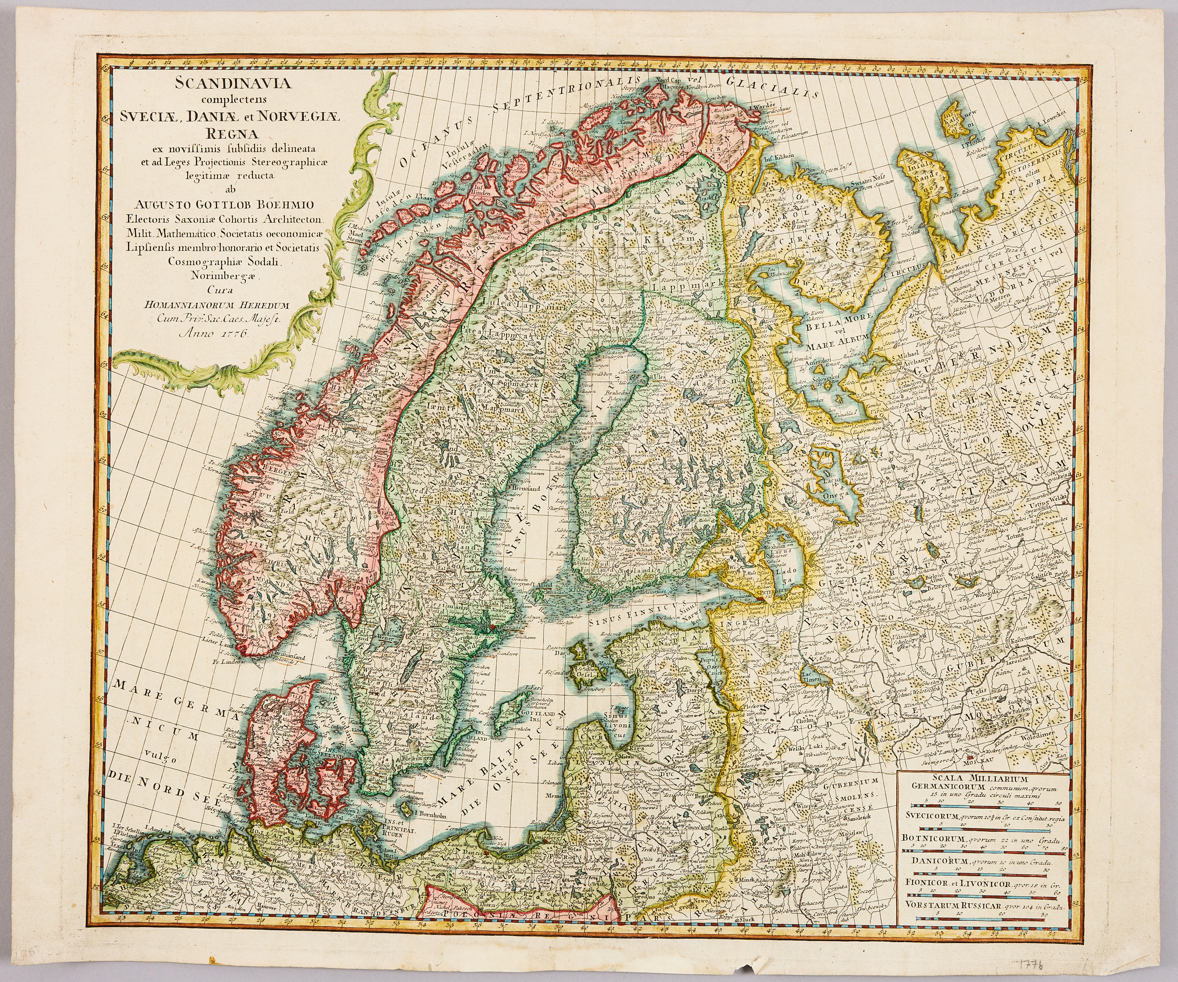
HOMANNS ARVINGAR, KARTA ÖVER SKANDINAVIEN, ca 1770.
10/09/2026
SEK 1,101
Uppsk.: SEK 1,200


SERIETIDNINGAR, 57 st Fantomen, år 1950-56.
10/09/2026
SEK 1,400
Uppsk.: SEK 800
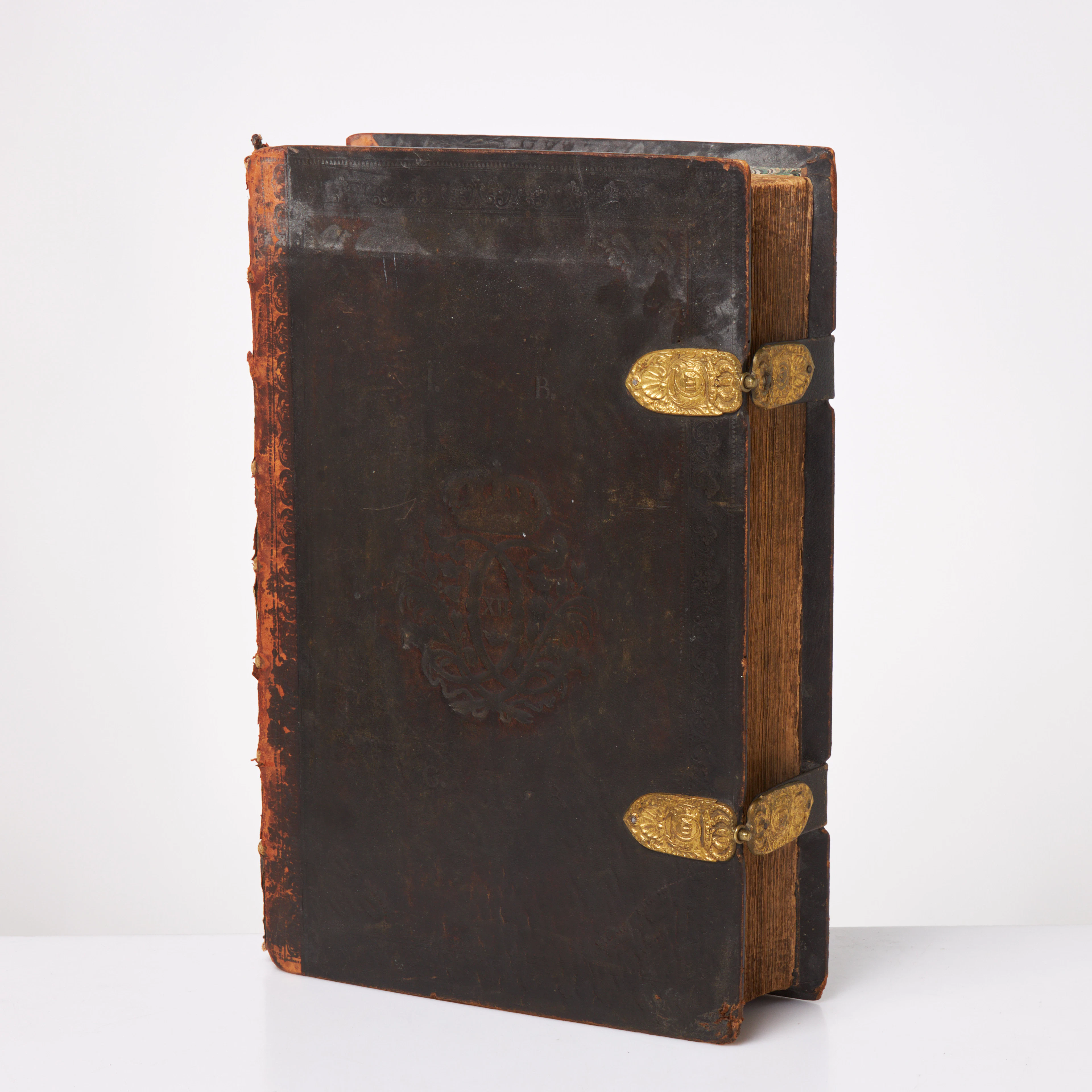
KARL XII:S BIBEL. 1703, samtida band.
10/09/2026
SEK 6,500
Uppsk.: SEK 6,000
Nå samlare över hela världen med din auktion!
Lista er auktion