




Alla auktioner / Asiatisk keramik & konsthantverk / Large Antique Caribbean Map, Guadeloupe, Antigua, Scottish, Framed, Georgian
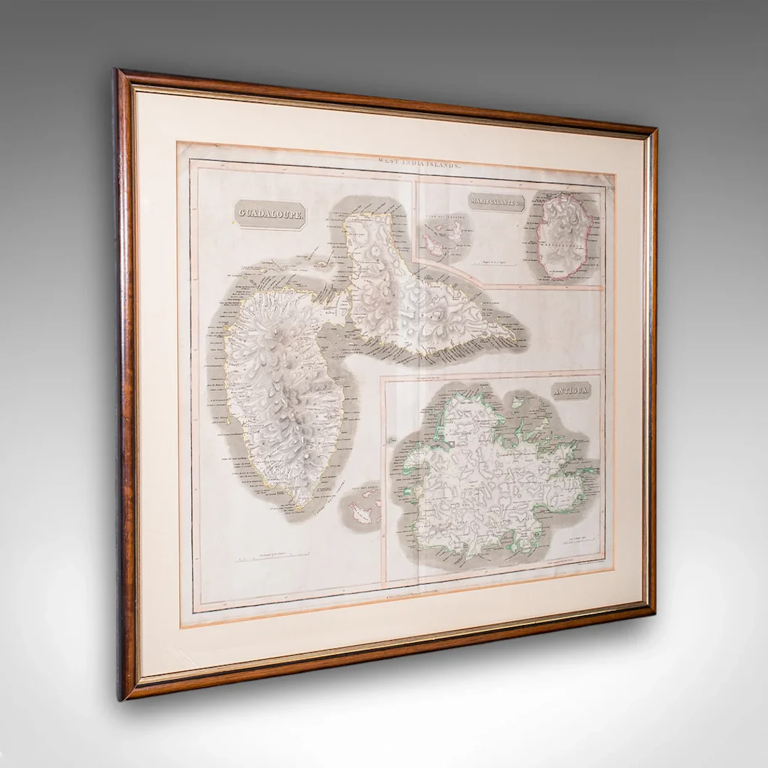
This is a large antique map of the West India Islands. A Scottish, framed triptych of three Caribbean Leeward islands, dating to the late Georgian period, circa 1817. A fine excerpt from John Thompson's (1777 - 1841) A New General Atlas of 1817, presenting the three islands from the Caribbean Leeward Isles with contemporary naming - Guadaloupe, Mariegalante and Antigua. This is a fascinating antique map of the West India Islands, known today as the Caribbean Leeward Islands. Delightfully annotated with copious information and detail, this large map is a treat for collectors or for those with a connection to the islands featured. Delivered ready to display. Max Width: 77cm (30.25'')Max Depth: 2cm (.75'')Max Height: 67.5cm (26.5'') Map Width: 62cm (24.5'')Map Height: 51cm (20'')
Utropspris:SEK 13,016
Till auktionenVisa alla föremål frånLondon Fine AntiquesellerAsiatisk keramik & konsthantverk
Utropspris:
SEK 13,016
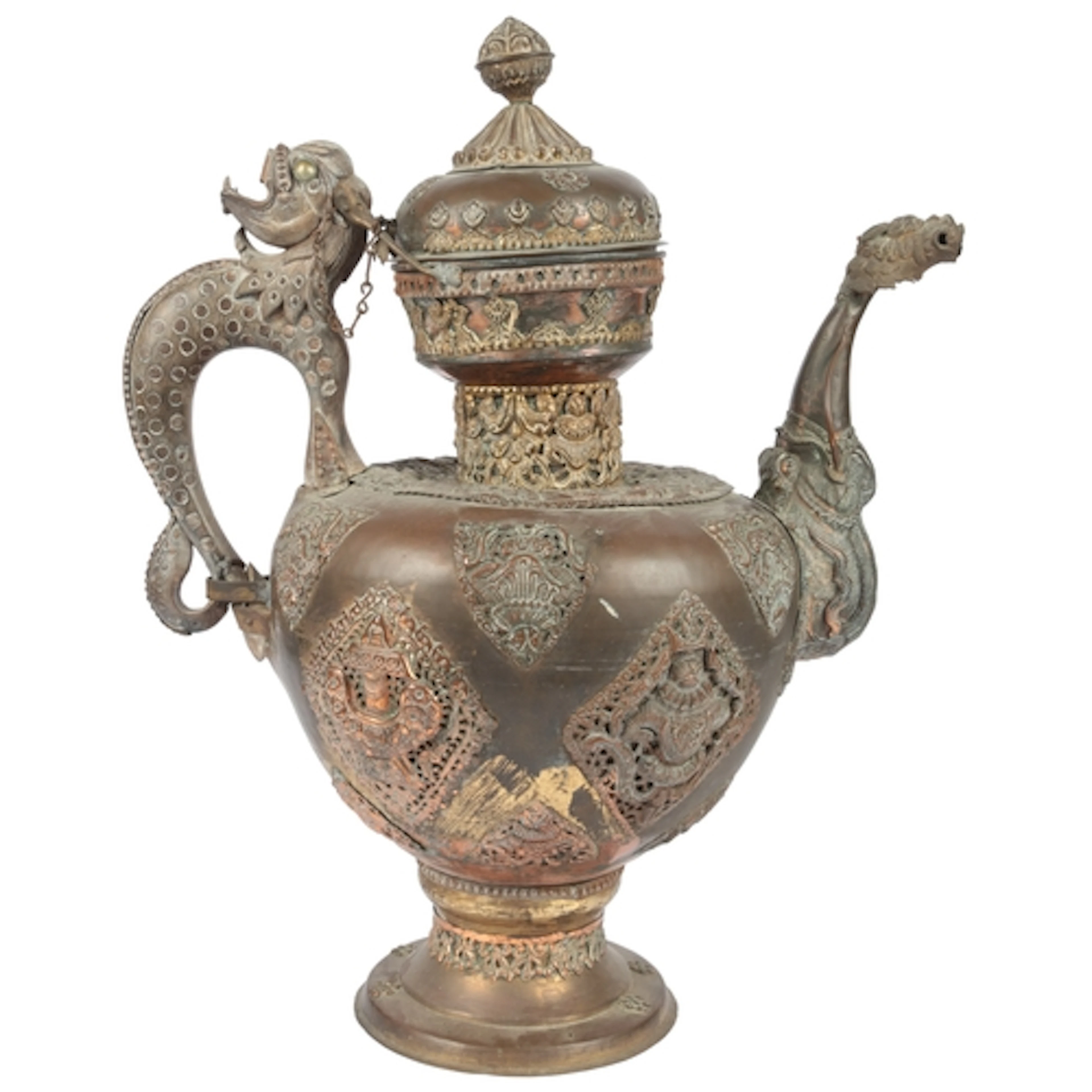
A massive Tibetan brass and copper repoussé work teapot, lat...
10/13/2026

SEK 2,377.82
Uppsk.: SEK 2,655.4
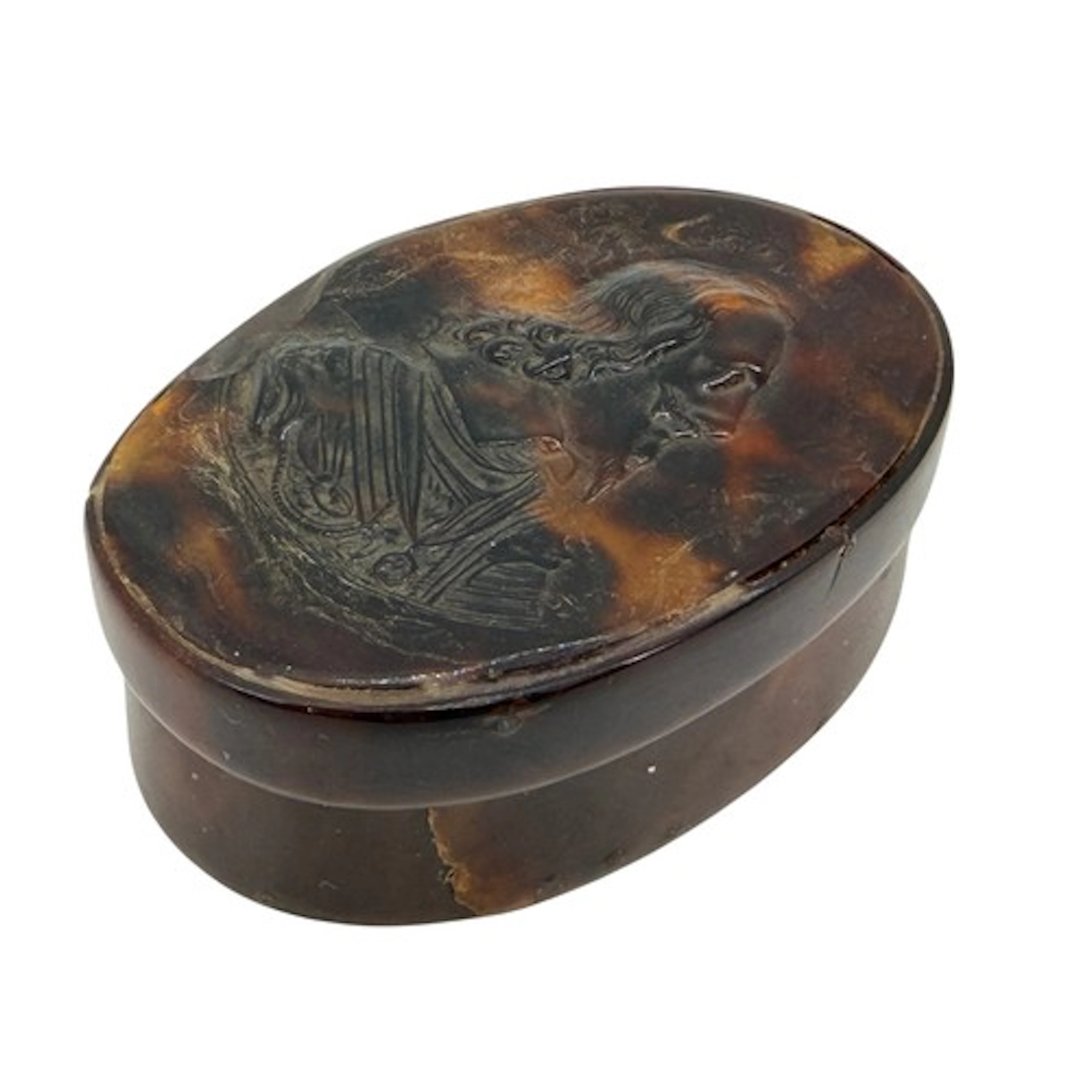
An early 18th-century pressed tortoiseshell snuff box of ova...
10/13/2026
SEK 2,509.92
Uppsk.: SEK 2,653.08
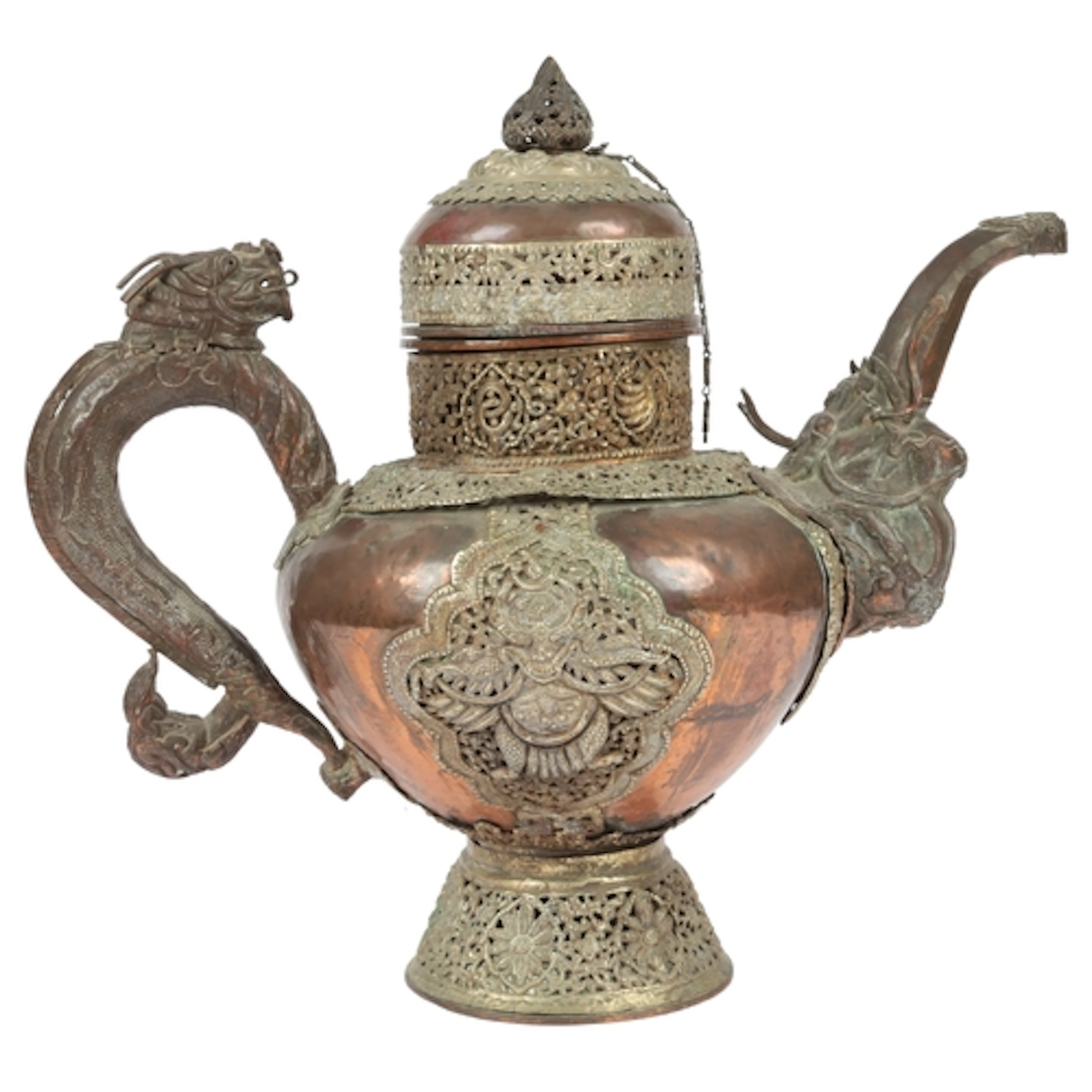
A large Tibetan white metal and copper repoussé teapot, late...
10/13/2026
SEK 1,981.52
Uppsk.: SEK 1,991.55
Nå samlare över hela världen med din auktion!
Lista er auktionGenom att prenumerera godkänner du integritetspolicyn. Avprenumerera när som helst.
Barnebys HQ
Brahegatan 10
BOX 5038
114 37 Stockholm
