
Alla auktioner / Böcker, Kartor och Texter / Ortelius, Abraham (1527-1598), and Others

Ortelius, Abraham (1527-1598), and Others
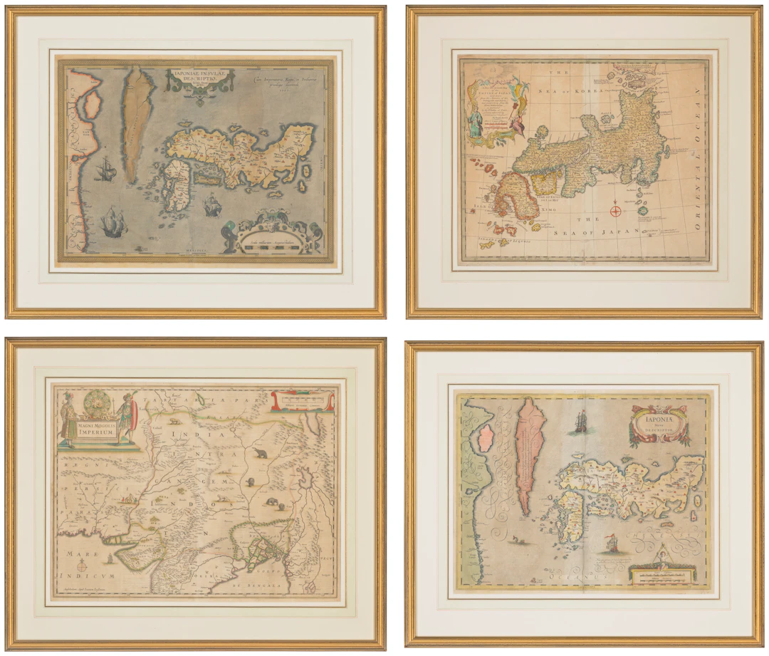
Together four maps, comprising: JANSSON, Jan (1588-1664). Magni Mogolis Imperium . Amsterdam: [c.1655]. Double-page engraved map (470 x 594mm) with outlines and cartouches in contemporary hand colour, Dutch text on verso (spotting and browning in margins, edges strengthened with old tape). — Iaponiae Nova Descriptio . [Amsterdam: c.1639]. Double-page engraved map (404 x 525mm) in contemporary hand colour, French text on verso (some marginal browning, edges strengthened with old tape). BOWEN, Emanuel (1694-1767). A New and Accurate Map of the Empire of Japan , [London: c.1747]. Double-page engraved map (390 x 499mm) in contemporary hand colour (somewhat browned, light wear at foot of creasefold, tiny hole beside Guiso, edges strengthened with old tape). ORTELIUS, Abraham (1527-1598). Iaponiae Insulae Descriptio Ludoico Teisera auctore . Antwerp: Jan Baptist Vrients, [1603]. Double-page engraved map (443 x 544mm) in contemporary hand colour (browned, tear through Korea crudely repaired on recto and verso, other tape repairs on verso, edges strengthened with old tape, holes to scale in lower right).
Utropspris:SEK 13,236.81
Till auktionenVisa alla föremål frånChristie'sellerBöcker, Kartor och Texter
Utropspris:
SEK 13,236.81
Liknande föremål

Slutpriser för liknande föremål
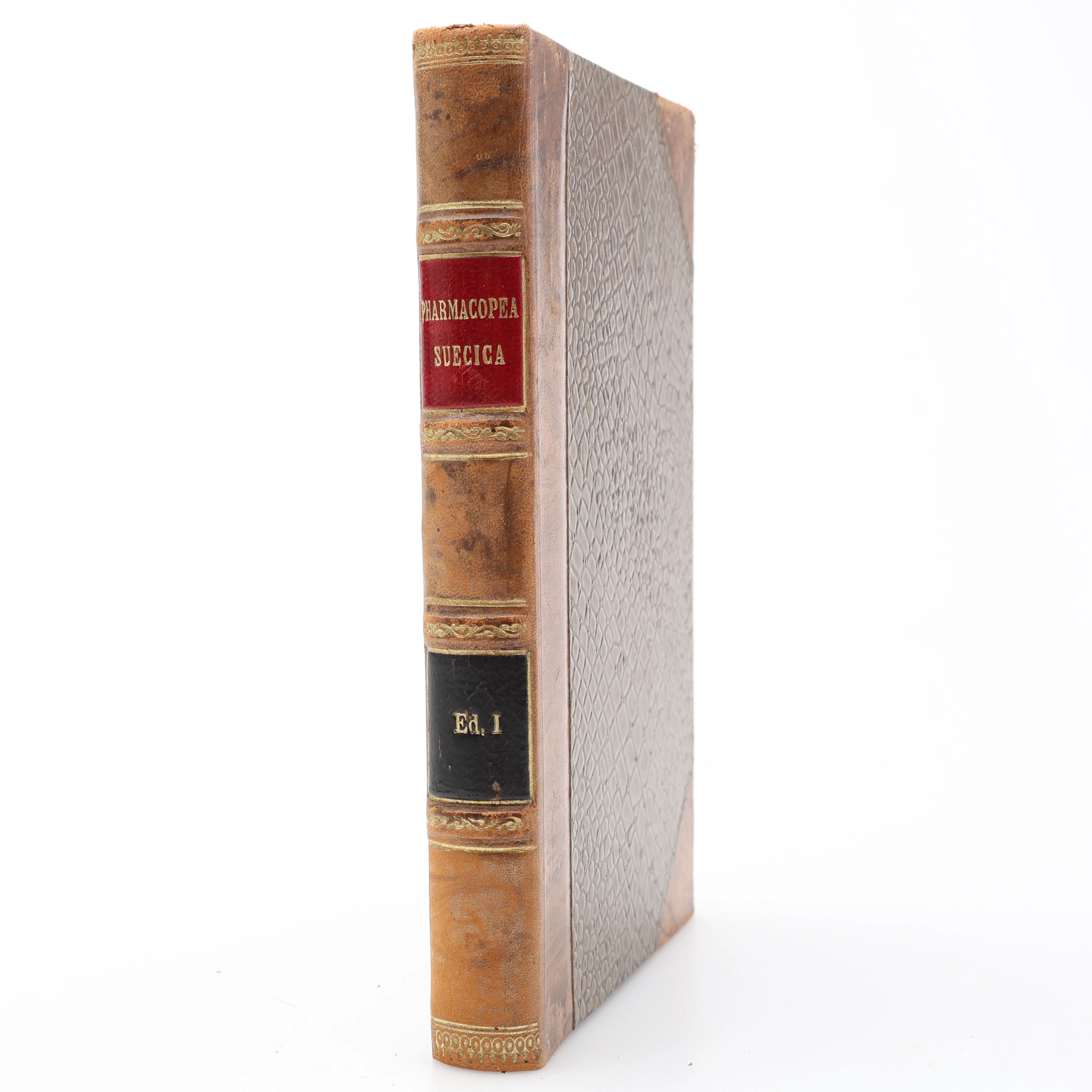
FARMAKOLOGI.. FÖRSTA UPPLAGAN AV DEN FÖRSTA RIKSFARMAKOPÉEN PHARMACOPOEA
10/07/2026
SEK 1,400
Uppsk.: SEK 2,000

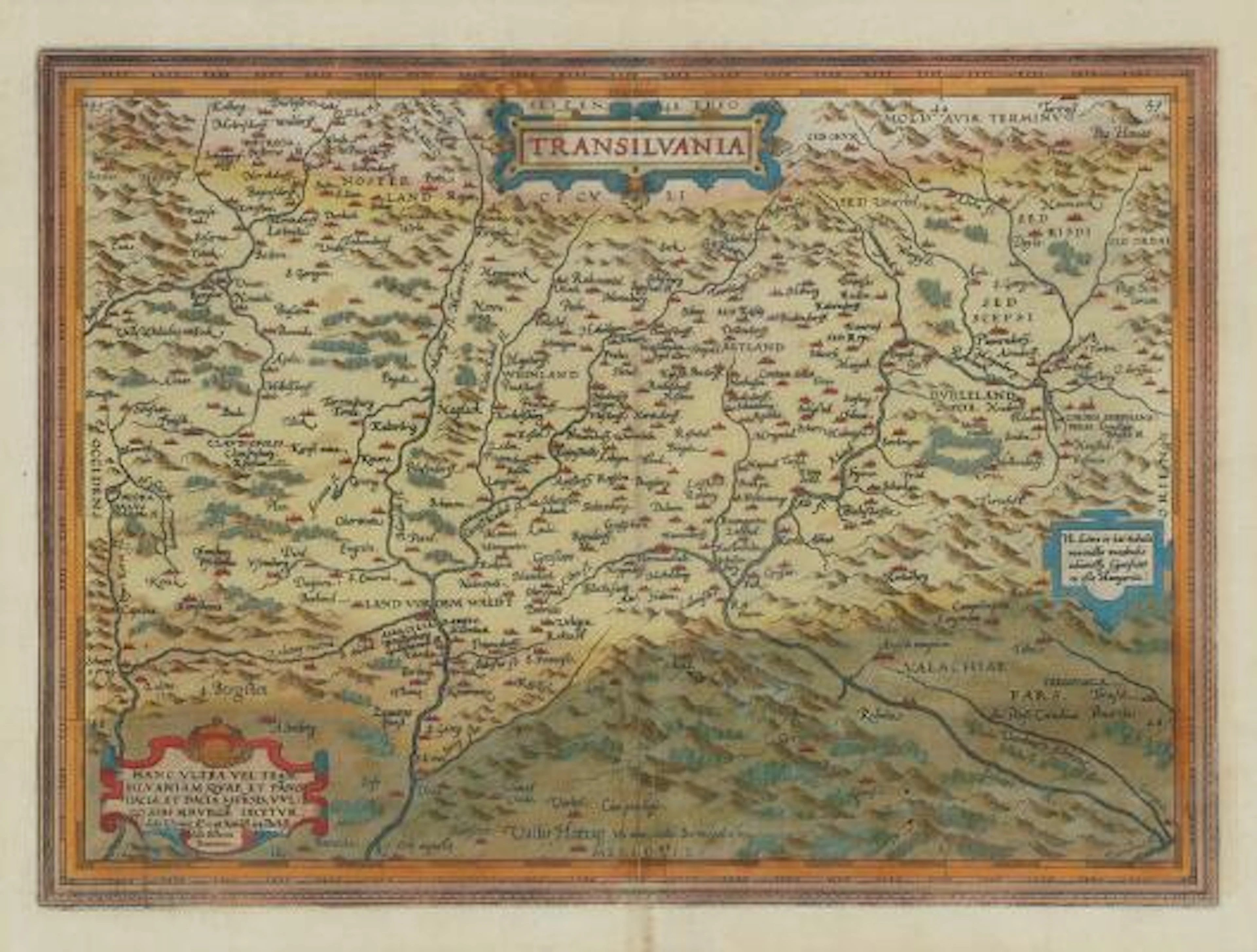
Abraham Ortelius: "Transilvania". C. 1584. Hand coloured engraving.
09/28/2026

SEK 2,273.23
Uppsk.: SEK 4,527.46
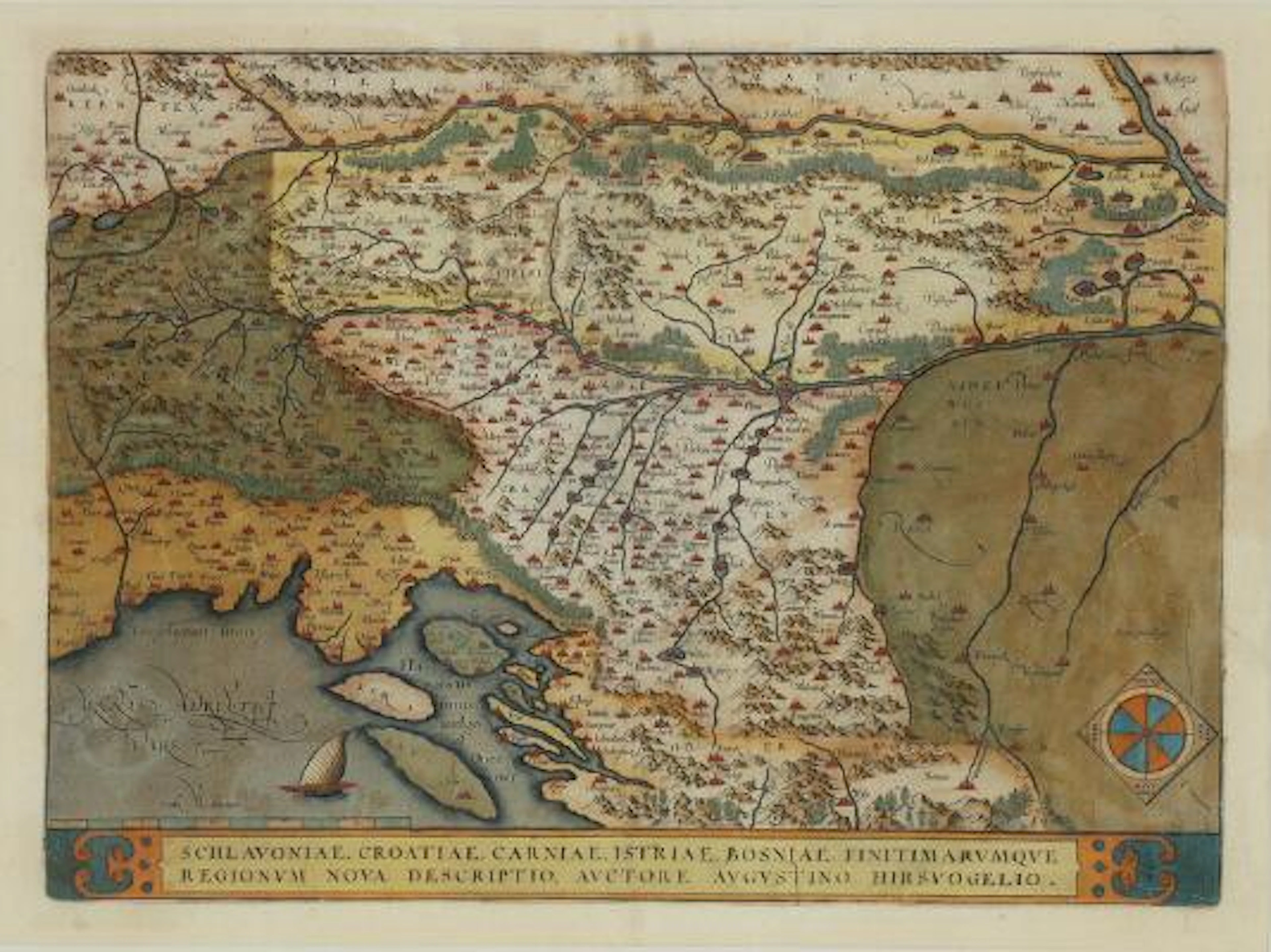
Abraham Ortelius: "Schlavoniae, Croatiae, Carniae, Istriae, Bosniae
09/28/2026
SEK 2,273.23
Uppsk.: SEK 4,527.46
Nå samlare över hela världen med din auktion!
Lista er auktion