Theatrum Orbis Terrarum—Scotland and Ireland
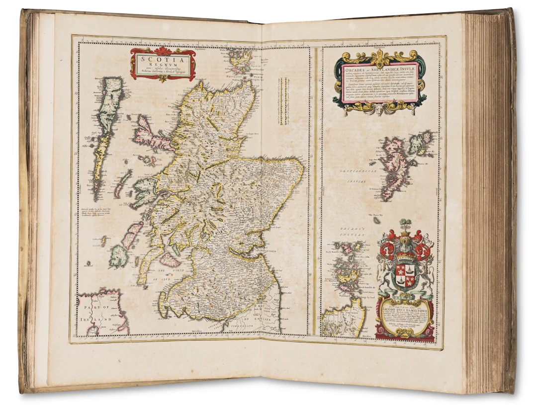
BLAEU, Joan (1596–1673). Tooneel des Aerdrycx, oft Nieuwe Atlas . Volume V: Scotland and Ireland. Amsterdam: Joan Blaeu, 1654. The first atlas of Scotland; a hand-colored copy of the first Dutch edition of the Scotland and Ireland volume from Blaeu’s New Atlas, in Blaeu’s original vellum binding with contemporary provenance. The first printed county atlas of Scotland (Koeman), Blaeu's atlas derives from the manuscript surveys carried out by Timothy Pont in Scotland between 1596 and 1600 and from Robert Gordon who was authorized by Charles I to amend and supplement the maps. Continuing the work of engraving the manuscripts begun by his father Willem, Joan Blaeu was granted privileges to publish the maps in 1654 by the States General, the States of Holland and West Friesland, Oliver Cromwell and Emperor Ferdinand III. Folio (500 × 325mm). Hand-colored engraved title-page with Scottish arms heightened with gold (title-page text on slip as per Koeman), 54 hand-colored double-page maps, one single-page (title-page on tab, few short marginal tears, occasional small stains, toning, heavier in “Scotia Regnum”, “Annandiae Praefectura”, “Ila Insula”, “Mula Insula”, “Skia vel Skiana”, “Orcadum et Schetlandiae insularum” and Ireland maps, few creases parallel to folds, stain parallel to fold in “Fifae Vice Comitatus”, worming at edges of some leaves, worm hole in black space of ocean in “Insulae Albion et Hibernia” repairs in folds of “Insulae Albion et Hibernia”, “Lidalia”, “Evia et Escia”, repair in “Praefectura Kircubriensis” with loss of first four letters of Skillingtoun, small hole in “Colia Provincia” touching Ghales, repair in K2 inner margin). Publisher’s gold-tooled vellum, yapp edges, green silk ties, edges gilt (worming and few tears in endleaves, rubbed, few small stains, spine soiled).
Utropspris:SEK 68,858.92
Till auktionenVisa alla föremål frånChristie'sellerBöcker, Kartor och Texter