Thomas Kitchin's A general Atlas, 1775
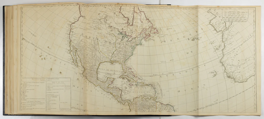
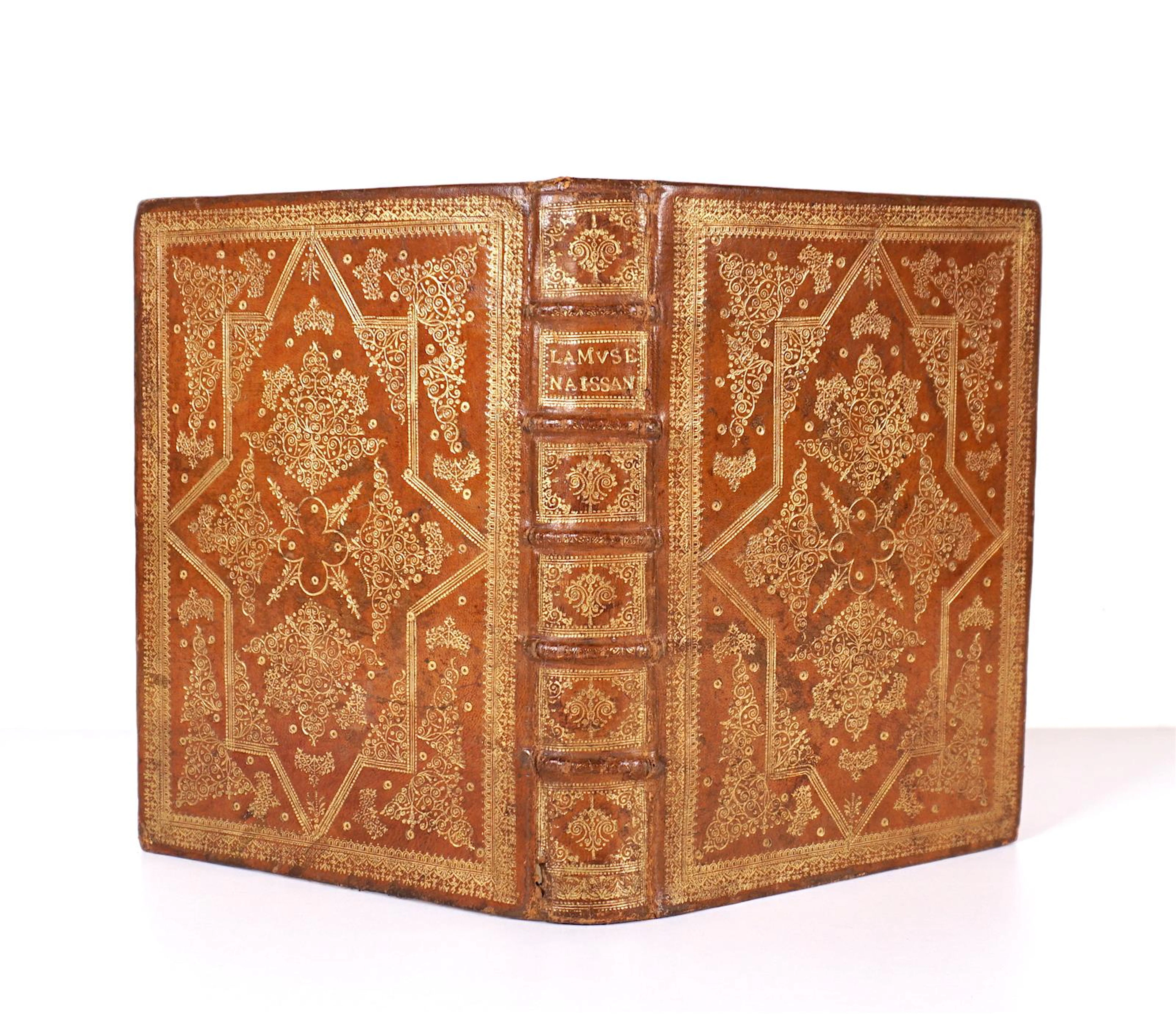
KITCHIN, Thomas (1718–1784). A general atlas, describing the whole universe: being a complete collection of the most approved maps extant; corrected with the greatest care, and augmented from the latest discoveries. The Whole being an improvement of the maps of D’Anville and Robert. Engraved in the best Manner on sixty-two copper plates, By Thomas Kitchin, Senior, and Others. London: for Robert Sayer, [1775–1790]. Folio (15 3/16” x 21 ¼”, 386mm x 540mm). With 35 engraved mapsheets, hand-colored in outline, of which 28 are folding and 7 double-page. Bound in modern black morocco by Herbie Weitz[1] for Weitz Coleman (signed gilt at the front turn-in) with a triple gilt roll and five gilt wreaths to the boards. On the spine, eight raised bands. Title gilt to red morocco in the second panel, date gilt to the heel. Presented in a quarter black morocco over blue cloth slipcase. Title-leaf and maps mounted on stubs. Marginal tape repairs and peripheral tanning to the maps and offsetting to the cartouches. Bookplate of Catherine Medici Jaffee to the front pastedown. Ownership inscription of Thomas M. Clark to title-page. Mapsheets numbered 1–35 in ink manuscript at the recto of the first leaf. Collated complete against the contents on the title-page. As a young man, Thomas Kitchin (Kitchen, 1718–1784) trained under the prolific Welsh engraver Emanuel Bowen and inherited both his technical skill and commercial sensibilities. In the years following his apprenticeship, Kitchin’s publications largely focused on Great Britain and her colonies. From 1749 to 1760, he published The Large English Atlas serially with Emanuel Bowen. The project was the first attempt to cover the country in its totality, and proved to be the most important county atlas since the Elizabethan era. Over his lifetime, Kitchin additionally produced 170 small-scale maps for London Magazine, and was Hydrographer to George III (a position his son, Thomas Bowen Kitchin, would also hold). The General Atlas Describing the Whole Universe was perhaps Kitchin’s most ambitious project. Emanuel Bowen died in the Spring of 1767, making The General Atlas Kitchin’s triumphant solo foray into large-scale atlas publication. First released in 1773 by Robert Sayer, the atlas is one of the most visually rich cartographic publications of the XVIIIc. It was intended as a comprehensive survey of the known world at the time, likely compiled in response to continental atlases such as those by Homann or Delisle. The scope of the atlas reflected ideals of the Enlightenment and the grand imperial aspirations of Georgian Britain, but aimed to serve the English market at a not quite so grand price. Kitchin continued to update individual maps, which explains the absence of a date on the title-page. Pownall’s New Map of North America is a latter issue with the imprint August 15th 1786 (Stevens & Tree 49j); Jefferys’s 25 May 1775 Chart of the St Laurence is the fourth issue (Stevens & Tree 76d); Ross’s 1775 Course of the River Mississippi is the second issue (Stevens & Tree 31b). Catherine Medici Jaffee is a journalist who writes about water quality in the American Southwest. The Atlas was a gift from her father, Walter “Wink” Jaffee, a rancher and book collector in Aspen, Colorado. Cf. Phillips 3522; not in Shirley.
Utropspris:SEK 158,688.79
Till auktionenVisa alla föremål frånArader GalleriesellerBöcker, Kartor och Texter