
Alla auktioner / Böcker, Kartor och Texter / United Kingdom - and Ireland; Meyer - - - 1821-1850

United Kingdom - and Ireland; Meyer - - - 1821-1850

4 hand-coloured steel-engraved maps depicting Great Britain, England, Scotland and Ireland by Captain Radefeld, dated 1844, from Meyer’s *Großer Handatlas*, published by the Bibliographisches Institut, Hildburghausen. A complete set of 4 maps depicting the British Isles. Highly detailed, finely engraved, border-coloured steel-engraved maps. Featuring early railway routes, canals and steamboat routes. Sheet size: approx. 45 x 36 cm in each case Condition with some water stains on the white margins, otherwise in very good condition, some sheets slightly age-toned.
Utropspris:SEK 11.16
Till auktionenVisa alla föremål frånCatawikiellerBöcker, Kartor och Texter
Utropspris:
SEK 11.16
Liknande föremål





Slutpriser för liknande föremål


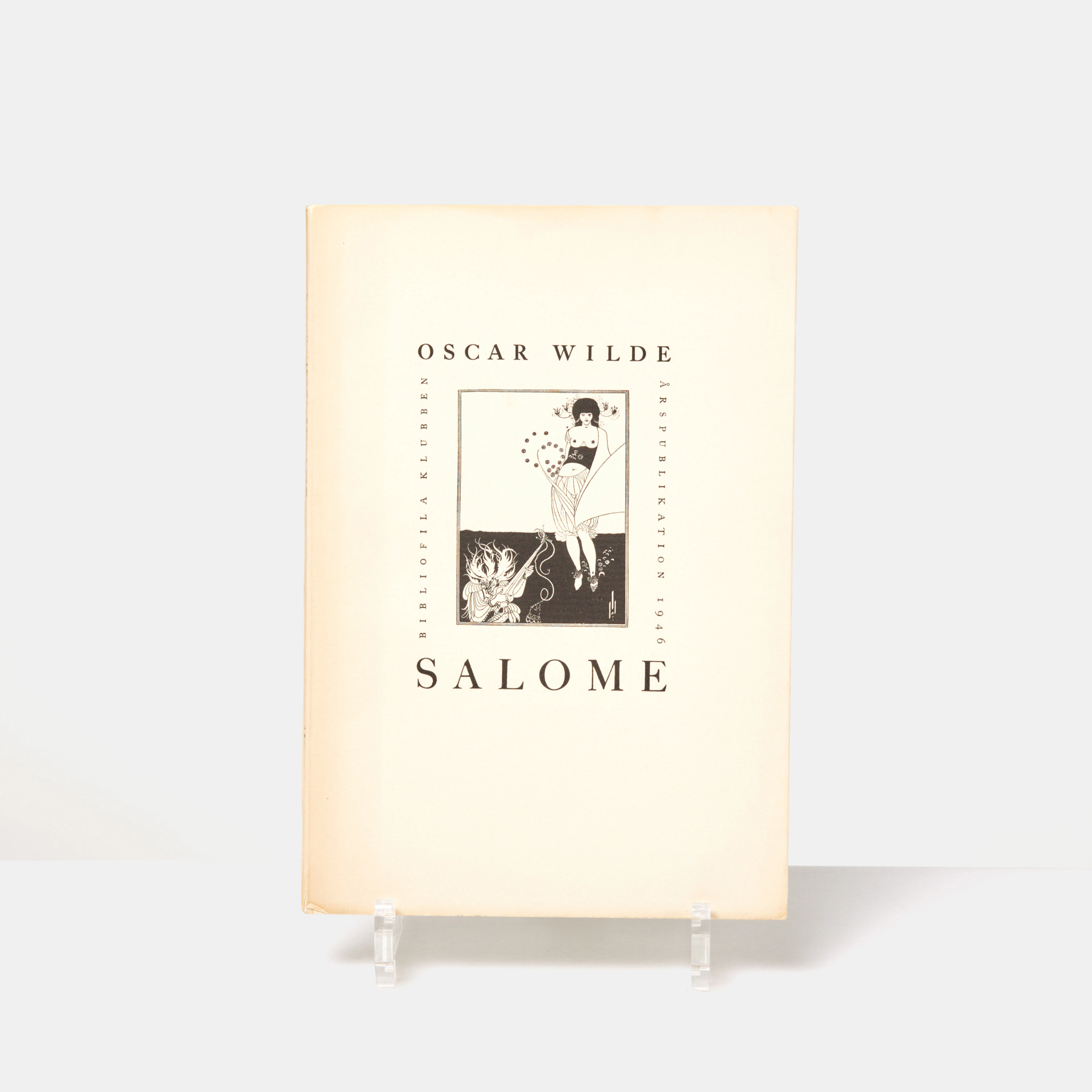
OSCAR WILDE, "Salome", tragedi i akt med 16 teckningar av Aubrey Beardsley
10/13/2026
SEK 850
Uppsk.: SEK 1,000
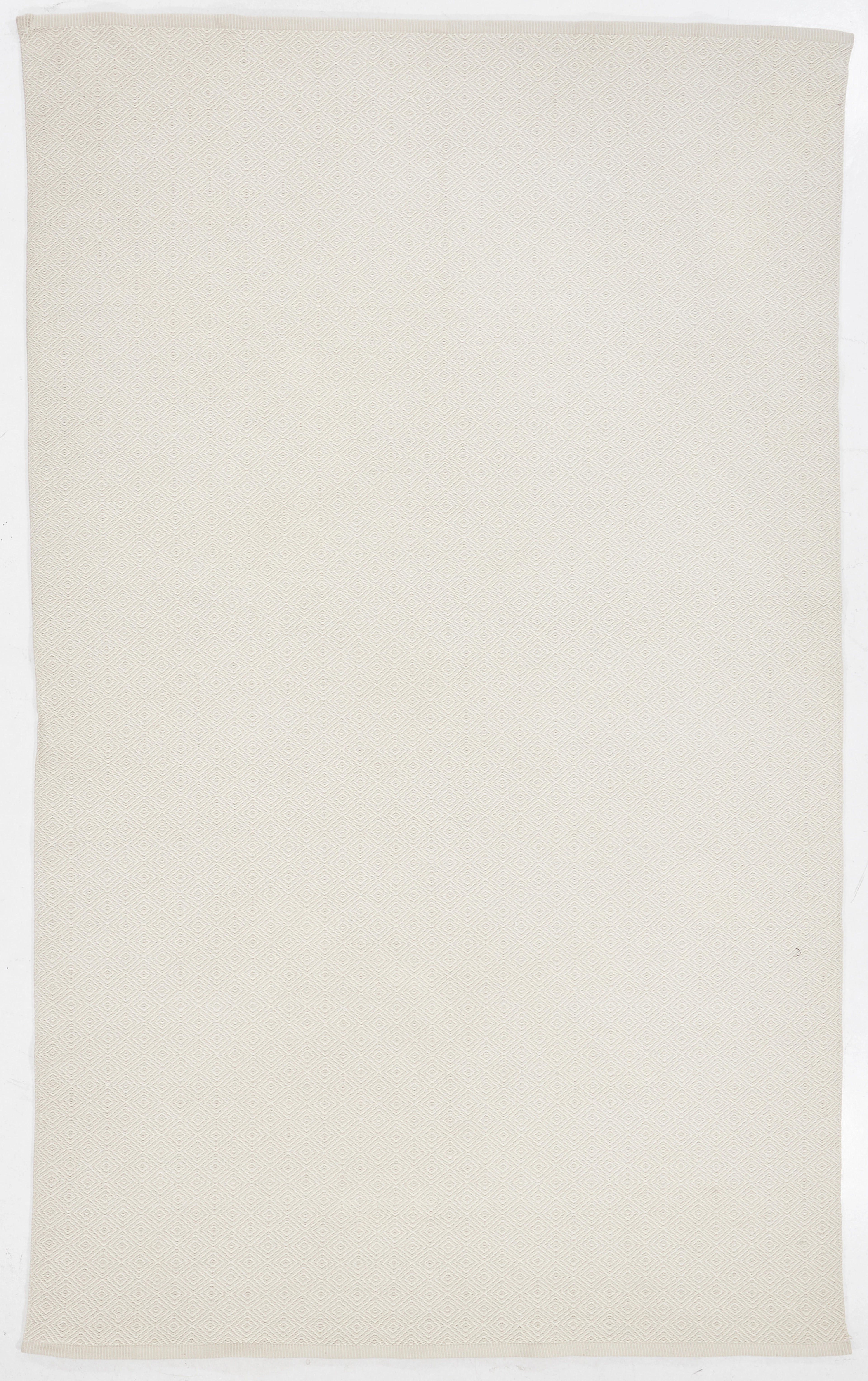
MATTA, "Gåsöga", ull, Kasthall.
10/13/2026
SEK 3,900
Uppsk.: SEK 3,000
Nå samlare över hela världen med din auktion!
Lista er auktion